Plizio Visual Lab
Kartong

ℹ️Practical info — Kartong
▾
🌤 Weather — 5 days
📍 Nearby
Sights nearby
💡 Tips
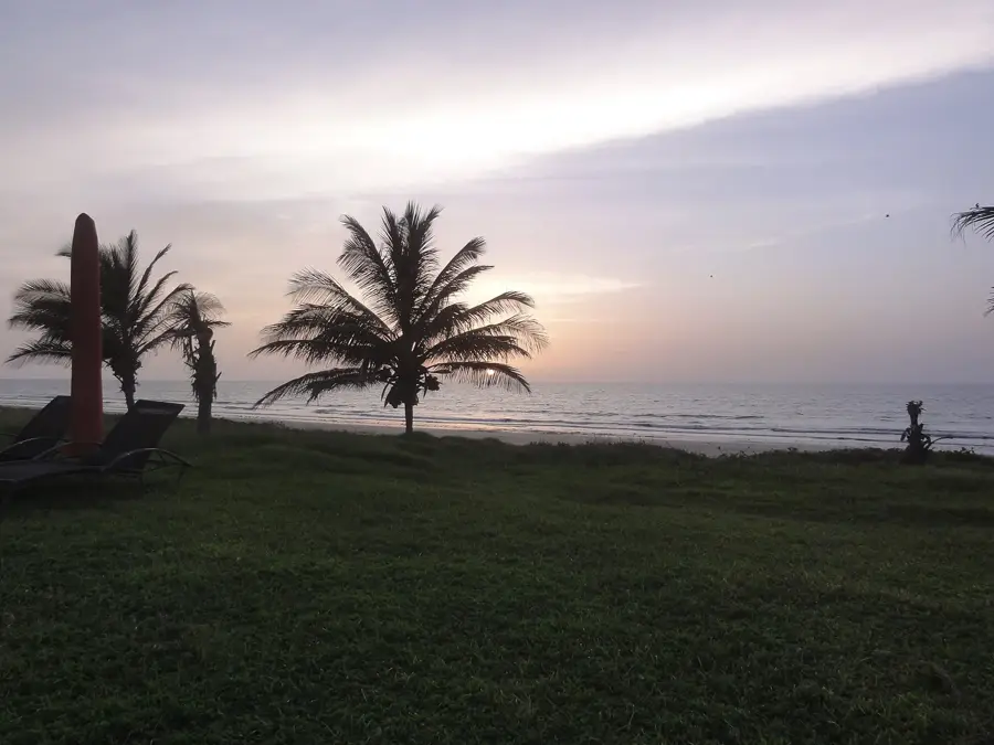
- Kartong is an ecotourism hub; the beaches here are much quieter than those in the northern resorts.
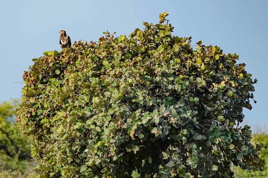
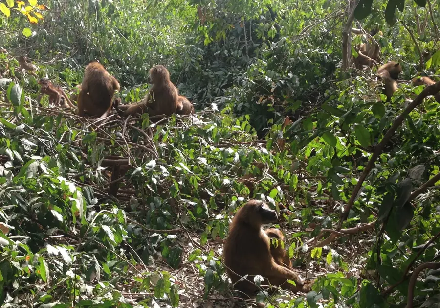
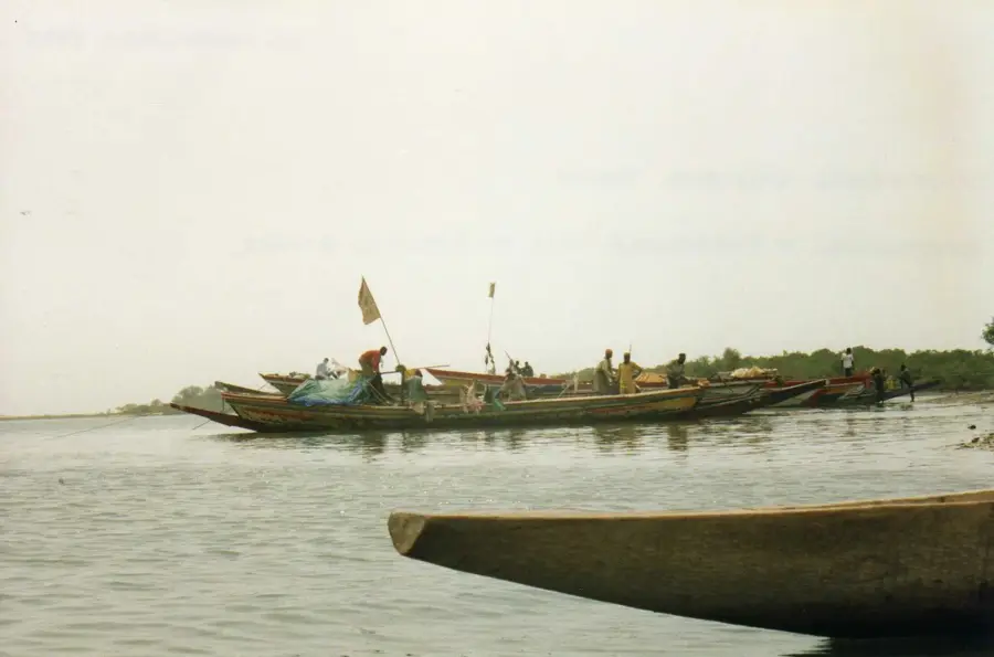
- Take a boat trip on the Allahein River, which forms the border with Senegal, to spot diverse bird species.
- Bush taxis (gele-gele) from Gunjur are the cheapest way to arrive, but expect a bumpy ride.
- Respect the local culture by dressing modestly when walking through the village away from the beach.
🍽 Food
A rich peanut stew served with rice, widely available at local beachside eco-lodges.
Enjoy freshly grilled fish at the small local eateries near the river estuary.
The Gambian version of Jollof rice, a flavorful one-pot dish you can find in village kitchens.
🛍 Shopping · 🧘 Quiet spots
Look for sustainable, handmade crafts and jewelry at small village stalls.
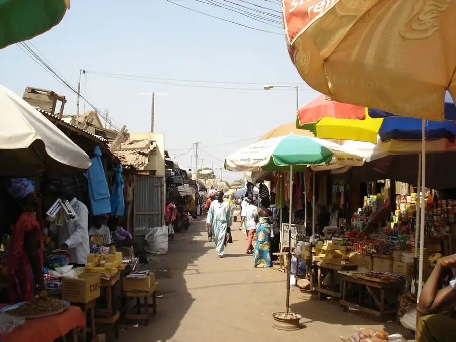
A small local market where you can buy fresh fruits and experience daily village life.
A remarkably peaceful spot excellent for birdwatching and watching the sunset.
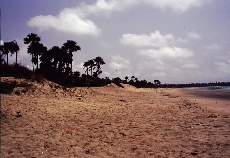
An unspoiled, quiet stretch of sand well-suited for long walks away from the crowds.
Water temperature…
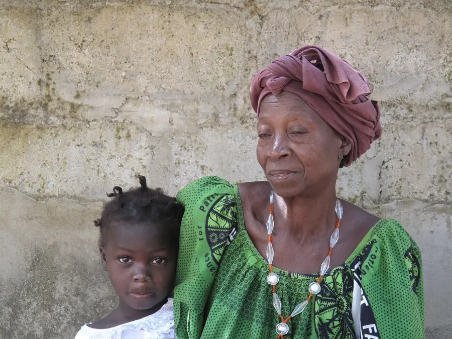
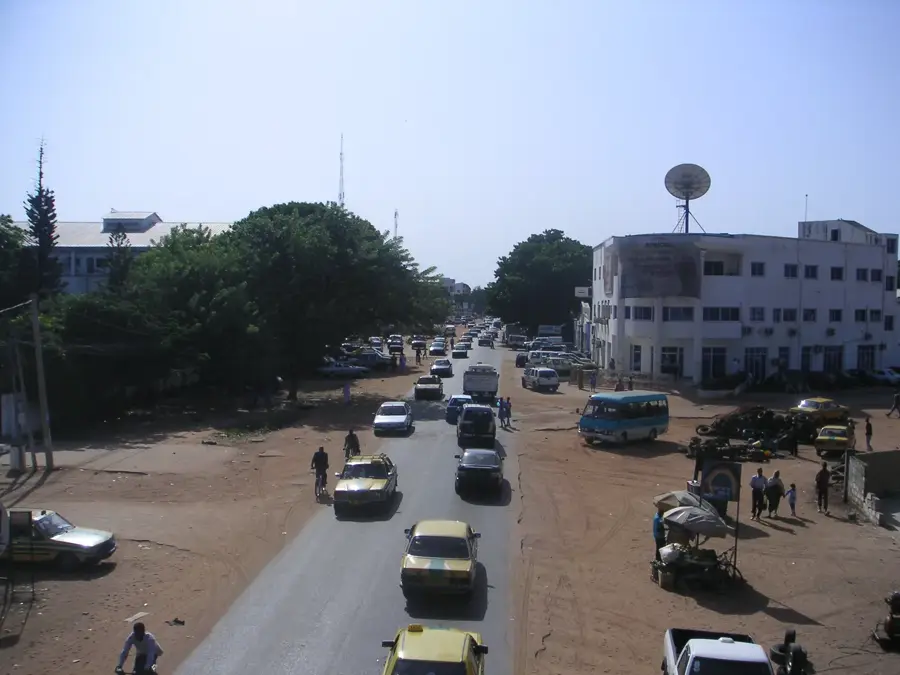
Kartong is the southernmost coastal settlement in The Gambia, situated right on the border with the Casamance region of Senegal where the Allahein River meets the ocean. It is reputed to be one of the oldest coastal villages in the country, maintaining a serene, untouched atmosphere distinct from the northern resorts. Kartong is celebrated for its commitment to eco-tourism and environmental preservation, hosting an annual cultural festival that highlights traditional music and sustainable living. The area is rich in biodiversity, particularly birdlife, and the local economy relies heavily on sustainable fishing, oyster harvesting in the river mangroves, and eco-lodges.
- Location: Gambia
- Top sights: Tesito Beach · Halahin Beach
- Nearby: Kafaya (5 km)
- Population: ~5.213 (2025)
Best time to visit & climate
The most pleasant time to visit is Jan, Feb, Apr.
| Jan | Feb | Mar | Apr | May | Jun | Jul | Aug | Sep | Oct | Nov | Dec | |
|---|---|---|---|---|---|---|---|---|---|---|---|---|
| Avg °C | 23 | 23 | 23 | 23 | 24 | 27 | 27 | 27 | 27 | 28 | 27 | 25 |
| Rain mm | 3 | 3 | 21 | 3 | 4 | 68 | 234 | 349 | 250 | 85 | 8 | 2 |
Geography
Facts
- The southernmost coastal village in The Gambia.
- Located at the estuary of the Allahein River, bordering Senegal.
- One of the oldest traditional settlements on the Gambian coast.
- A major hub for sustainable eco-tourism and bird watching.
- Known for traditional oyster harvesting in the nearby mangroves.
- Hosts the annual Kartong Festival celebrating local culture.
Explore nearby
Notable places around
Route planner — Car & Motorhome
Where do you start? We build the route here, with stops and country notes along the way.
© OpenStreetMap contributors · OpenRouteService
Sights in the town Kartong (2)
Frequently asked questions
What is the Kartong Reptile Farm?
How far is Kartong from the Senegalese border?
Are there cultural festivals in Kartong?
Can you go kayaking in Kartong?
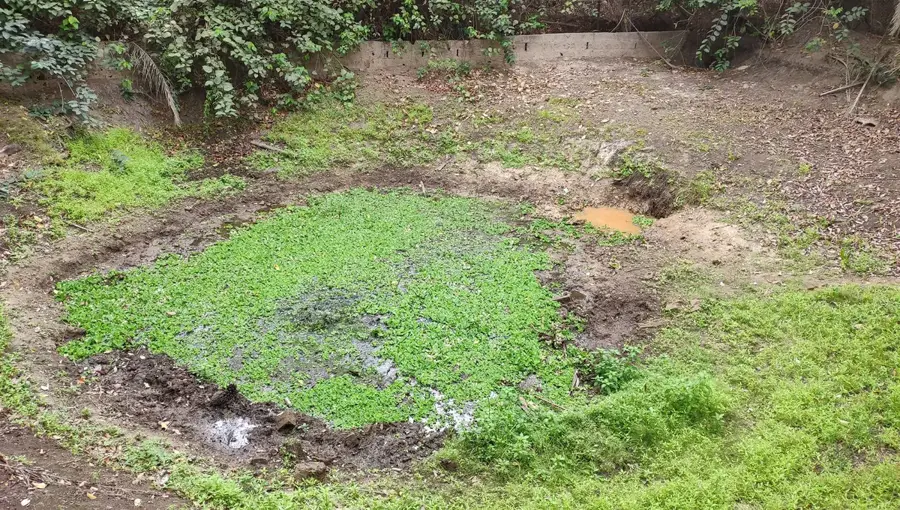
What is the 'Folonko' crocodile pool?
Kartong: where is it located?
Kartong: what is there to see?
Kartong: when is the best time to visit?
Kartong: why is it worth visiting?

Nearby cities


History & landmarks
Nature
More places