Plizio Visual Lab
Red Rock (Highest Point)
Weather…
Water temperature…
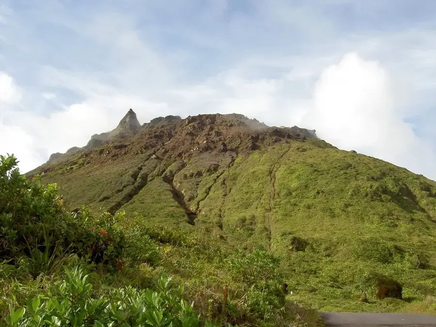
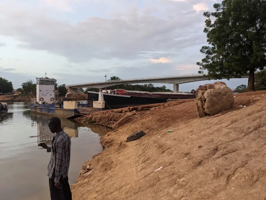
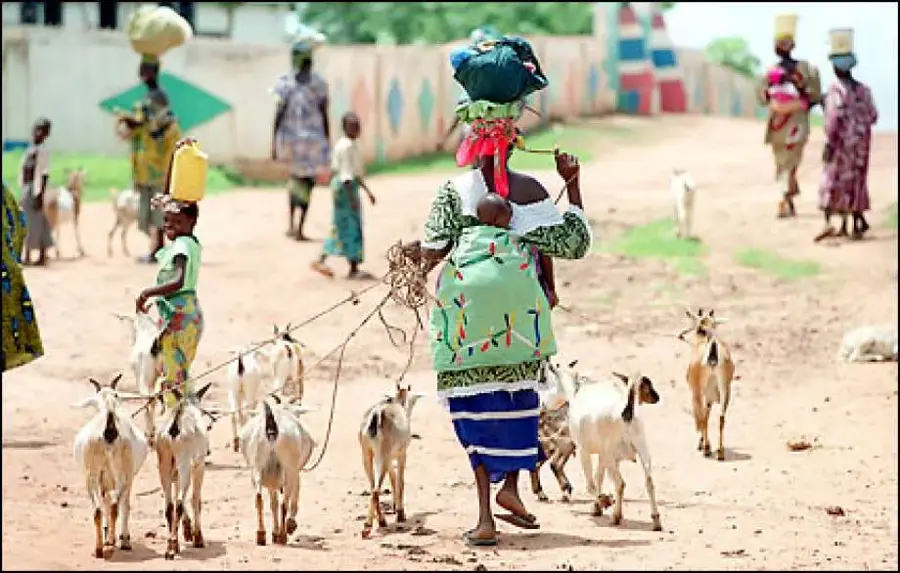
Red Rock is the informal name for the highest point in The Gambia, located in the east of the country near the border with Senegal. With a modest elevation of approximately 53 meters above sea level, this site highlights the flat topography of mainland Africa's smallest nation. Geologically, the rise is composed of lateritic rock, which exhibits a characteristic reddish hue due to oxidation, giving the location its name. The surrounding area is characterized by a dry savanna landscape featuring acacias and scattered baobab trees. While Red Rock provides no mountaineering challenge, the point provides a wide view over the flat plains of the Upper Gambia River region. Historically, the area was of interest due to its strategic position on the boundary between British and French colonial territories. Today, the spot serves as a symbolic destination for travelers wishing to explore the country's geographical extremes.
- Location: Gambia
- Nearby: Koina (16 km)
Best time to visit & climate
The most pleasant time to visit is Jan, Nov, Dec.
| Jan | Feb | Mar | Apr | May | Jun | Jul | Aug | Sep | Oct | Nov | Dec | |
|---|---|---|---|---|---|---|---|---|---|---|---|---|
| Avg °C | 25 | 28 | 31 | 34 | 34 | 32 | 28 | 27 | 27 | 28 | 26 | 25 |
| Rain mm | 0 | 0 | 1 | 1 | 11 | 92 | 170 | 268 | 212 | 64 | 3 | 0 |
📋 Practical info
Geography
Facts
- At approximately 53 meters, this is the highest natural elevation in all of The Gambia.
- The point is located near the village of Makka Kunda in the eastern part of the country.
- The red color is the result of high iron content within the lateritic rock.
- Gambia has the third-lowest maximum elevation of any country in the world after the Maldives.
- The annual rainfall in this eastern region is approximately 800 mm.
- The 'summit' is more of a gentle hill than a striking rock formation.
Explore nearby
Notable places around
Route planner — Car & Motorhome
Where do you start? We build the route here, with stops and country notes along the way.
© OpenStreetMap contributors · OpenRouteService
Sights in the town Red Rock (Highest Point) (1)
Sights nearby
Frequently asked questions
How high is Red Rock?
Why is it called 'Red Rock'?
Can you climb the rock?
What can you see from the summit?
Are there any entry fees?
Red Rock (Highest Point): where is it located?
Red Rock (Highest Point): when is the best time to visit?
Red Rock (Highest Point): why is it worth visiting?

Nearby cities
Nature
More places