Plizio Visual Lab
Basse Santa Su
ℹ️Practical info — Basse Santa Su
▾
🌤 Weather — 5 days
📍 Nearby
Sights nearby
💡 Tips
- The town's main market is chaotic but spirited; keep your valuables secure while exploring.
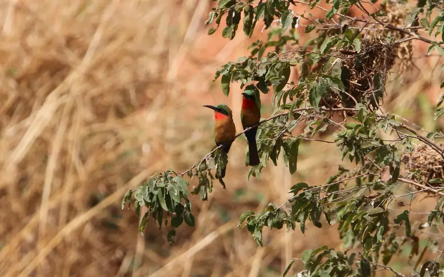
- Take the traditional ferry or a small boat across the Gambia River for a cheap and scenic experience.
- The climate here is significantly hotter and drier than the coastal areas, so stay hydrated.
- Take strict malaria precautions, as the risk is significantly higher near the river.
- Always exchange polite greetings before asking locals for directions or taking pictures.
🍽 Food
A savory peanut stew usually with rice, widely available in small eateries around the market area.
A popular one-pot rice dish best grabbed from street food stalls around lunchtime.
Often found grilled at informal cooking spots right near the riverbanks.
🛍 Shopping · 🧘 Quiet spots
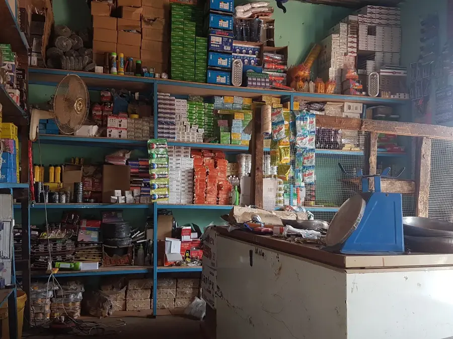
Colorful wax prints are widely available inside the bustling main market.
Traditional earthen goods are sold by local artisans around the town center.
The stretches away from the busy ferry point are convenient for a peaceful view.
Features quieter dirt roads that are first-rate for a relaxed evening stroll.
Water temperature…
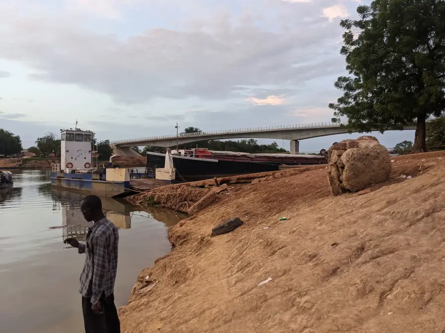
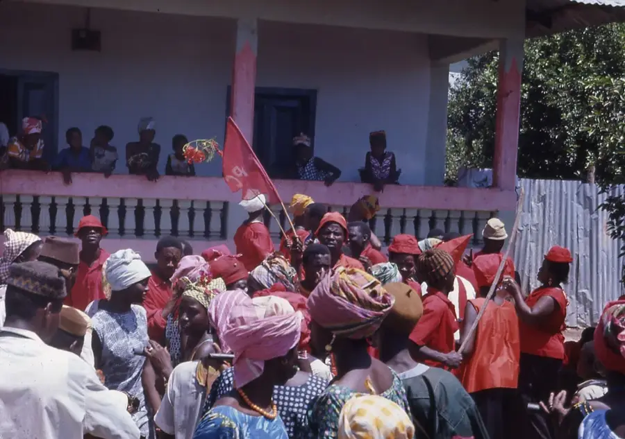
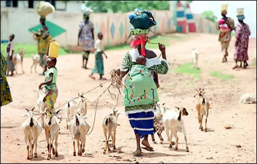
Basse Santa Su, commonly known simply as Basse, is the easternmost major town in The Gambia and the capital of the Upper River Region. Founded in the late 19th century, it has long been a critical inland port and trading center located on the banks of the Gambia River. The town is culturally diverse, serving as a melting pot for Mandinka, Fula, and Serahule communities, which is reflected in its spirited markets and varied architecture. Basse historically thrived on the groundnut trade, serving as a collection point where river barges would load crops for export downriver. Its remote location gives it a distinct character compared to the coastal cities.
- Location: Gambia
- Nearby: Gambissara (7 km)
- Population: ~14.380 (2011)
Best time to visit & climate
The most pleasant time to visit is Jan, Nov, Dec.
| Jan | Feb | Mar | Apr | May | Jun | Jul | Aug | Sep | Oct | Nov | Dec | |
|---|---|---|---|---|---|---|---|---|---|---|---|---|
| Avg °C | 25 | 28 | 31 | 34 | 34 | 32 | 28 | 27 | 27 | 28 | 26 | 25 |
| Rain mm | 0 | 0 | 1 | 1 | 11 | 92 | 170 | 268 | 212 | 64 | 3 | 0 |
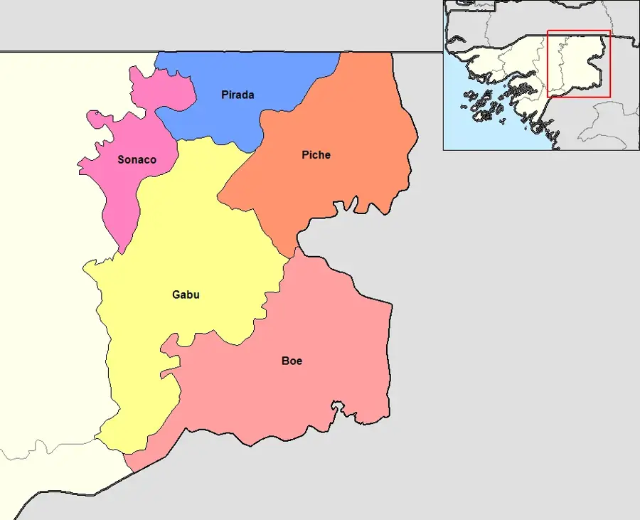
Geography
Facts
- Capital and largest town of the Upper River Region.
- The easternmost major commercial center in The Gambia.
- Historically a vital inland river port for the peanut trade.
- Features a culturally diverse population including Fula and Serahule.
- Located approximately 400 kilometers upriver from Banjul.
- Known for its bustling regional market near the riverbank.
Explore nearby
Notable places around
Route planner — Car & Motorhome
Where do you start? We build the route here, with stops and country notes along the way.
© OpenStreetMap contributors · OpenRouteService
Frequently asked questions
Where is Basse Santa Su located?
How do you get there from Banjul?
What can you do there?
Are there hotels there?
Which ethnic groups live there?
Basse Santa Su: where is it located?
Basse Santa Su: when is the best time to visit?
Basse Santa Su: why is it worth visiting?

Nearby cities
History & landmarks
More places