Plizio Visual Lab
Garowol
ℹ️Practical info — Garowol
▾
🌤 Weather — 5 days
📍 Nearby
Sights nearby
💡 Tips
- Greetings are deeply important in Gambian culture; always take time for pleasantries before asking for directions or buying items.
- Carry small denominations of Dalasi for local purchases at the village market.
- Travel is easiest during the dry season, as unpaved regional roads can become impassable during heavy rains.
- Be prepared for limited electricity and internet connectivity in this rural setting.
🍽 Food
A hearty peanut stew, best tried at the local food stalls in the village center.
A traditional one-pot rice dish with fish or meat, often available from local street vendors.
In season, you can buy these delicious fruits right off the stalls along the main road.
🛍 Shopping · 🧘 Quiet spots
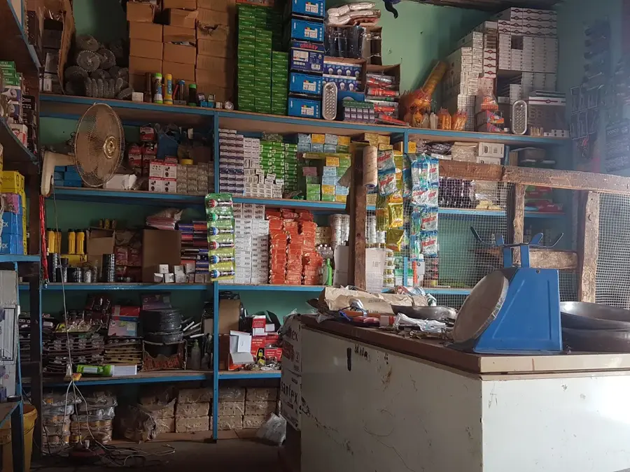
The central spot to find fresh agricultural produce and regional spices.
Keep an eye out for hand-woven baskets and simple wooden items made by local artisans.
Take a quiet walk through the farming areas on the village outskirts during the early morning.
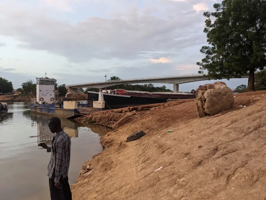
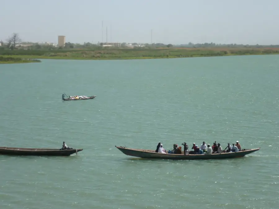
If you head towards the river, the unpaved paths along the water offer a very peaceful setting.
Water temperature…
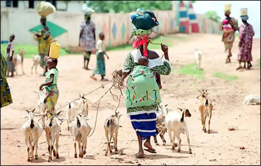
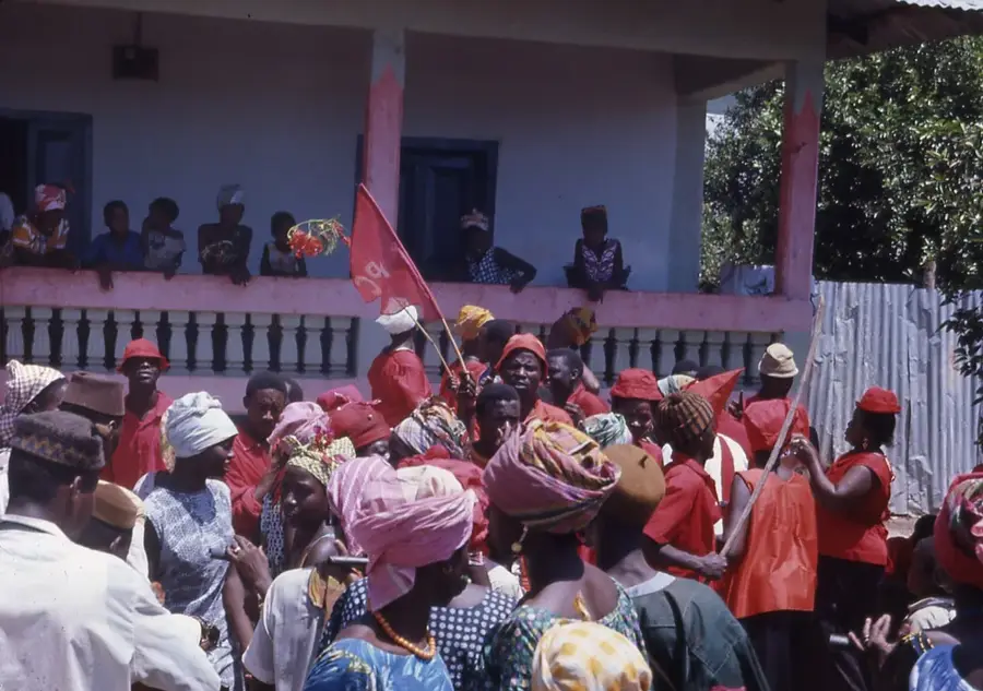
Garowol is one of the most prominent towns in the Upper River Region of The Gambia, situated within the Kantora District. The settlement is predominantly inhabited by the Soninke ethnic group, which deeply influences the local culture, traditions, and linguistic landscape. Economically, Garowol serves as a vital hub for cross-border trade with neighboring Senegal, leveraging its strategic location near the frontier. Agriculture is the cornerstone of the community's livelihood, with the cultivation of groundnuts, millet, and rice, alongside livestock farming, being the primary economic activities. The town is also well-known for its strong connections with the Gambian diaspora, whose remittances have significantly funded the development of local infrastructure, including schools and healthcare facilities. Social life in Garowol is characterized by traditional social structures and a strong religious adherence, making it a key cultural and economic anchor in the easternmost part of the country.
- Location: Gambia
- Top sights: Boro Modi Bane · Boro Kanda Kassy · Boro Dampha Kunda
- Nearby: Koina (16 km)
- Population: ~7.403 (2023)
Best time to visit & climate
The most pleasant time to visit is Jan, Nov, Dec.
| Jan | Feb | Mar | Apr | May | Jun | Jul | Aug | Sep | Oct | Nov | Dec | |
|---|---|---|---|---|---|---|---|---|---|---|---|---|
| Avg °C | 25 | 28 | 31 | 34 | 34 | 32 | 28 | 27 | 27 | 28 | 26 | 25 |
| Rain mm | 0 | 0 | 1 | 1 | 11 | 92 | 170 | 268 | 212 | 64 | 3 | 0 |
Geography
Facts
- Garowol is situated in the Kantora District, the easternmost part of The Gambia.
- The town has one of the highest population densities in the Upper River Region.
- The Soninke (Sarahule) language is the predominant tongue in the area.
- Livestock markets in Garowol are major events for regional commerce.
- It is located approximately 400 kilometers inland from Banjul.
- Diaspora funding is a major contributor to the town's modern infrastructure.
Explore nearby
Notable places around
Route planner — Car & Motorhome
Where do you start? We build the route here, with stops and country notes along the way.
© OpenStreetMap contributors · OpenRouteService
Sights in the town Garowol (3)
Frequently asked questions
Where is Garowol located?
Who mainly lives in Garowol?
What is the economic basis of the town?
Is Garowol developed for tourism?
How do you get from Basse to Garowol?
Garowol: where is it located?
Garowol: what is there to see?
Garowol: when is the best time to visit?
Garowol: why is it worth visiting?

Nearby cities

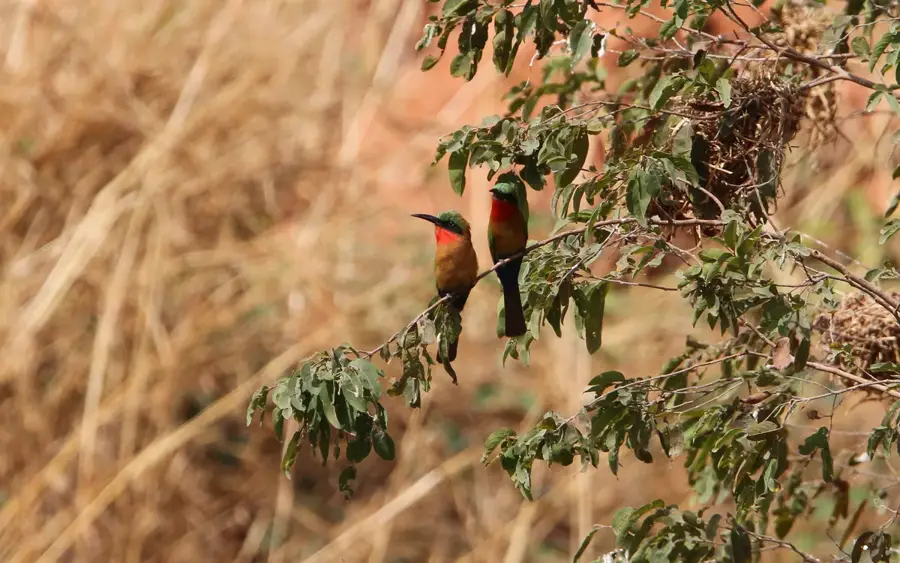
Nature
More places