Plizio Visual Lab
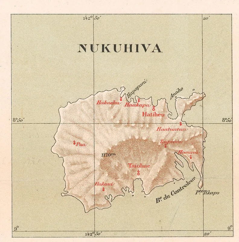
Mount Muake
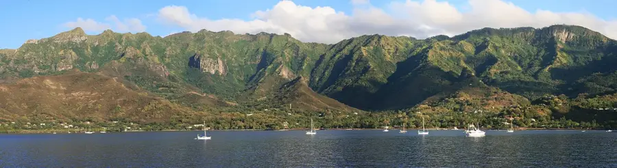
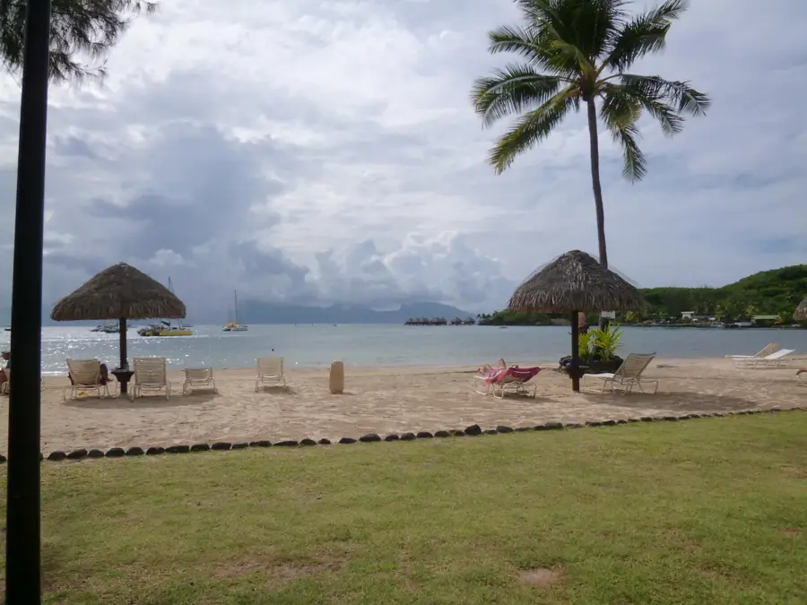
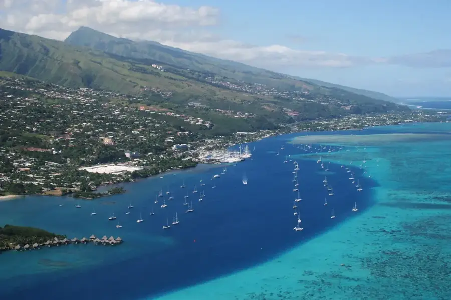
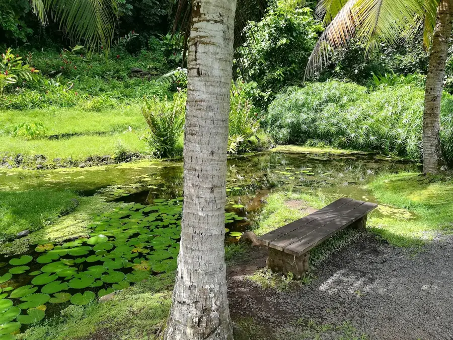
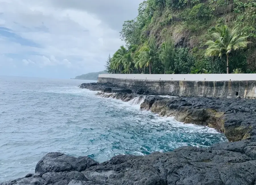
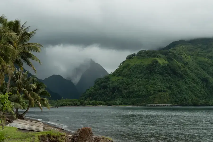
Mount Muake stands approximately 400 meters above Taiohae Bay on the island of Nuku Hiva, serving as the primary natural lookout point for the capital. This volcanic peak is part of a rugged ridge that encircles the settlement, providing a dramatic backdrop to the coastal landscape. Reaching the summit involves navigating a steep, winding road that is accessible by 4WD vehicles or via a challenging hike for those seeking exercise. From the top, the panoramic view encompasses the deep blue waters of the Pacific, the harbor entrance, and the lush green valleys characteristic of the Marquesas Islands. The mountain has gained international recognition among paragliders, as the local thermal currents offer first-rate conditions for soaring over the bay. In the evening, the viewpoint is a popular gathering spot for both locals and travelers to witness the sunset, which paints the surrounding cliffs and the ocean in lively hues.
- Location: French Polynesia
- Top sights: Monument aux Morts · Fort Collette · Temple Protestant
- Nearby: Hakahau (37 km)
Best time to visit & climate
The most pleasant time to visit is Aug–Oct.
| Jan | Feb | Mar | Apr | May | Jun | Jul | Aug | Sep | Oct | Nov | Dec | |
|---|---|---|---|---|---|---|---|---|---|---|---|---|
| Avg °C | 27 | 27 | 28 | 28 | 28 | 27 | 27 | 27 | 27 | 27 | 27 | 27 |
| Rain mm | 42 | 29 | 60 | 53 | 40 | 25 | 28 | 16 | 15 | 16 | 28 | 19 |
📋 Practical info
Geography
Facts
- Mount Muake is 950 meters high.
- It is located on Nuku Hiva Island.
- The mountain is of volcanic origin.
- The summit offers a 360-degree view.
- The hike to the summit takes about 4 hours.
- The endemic Marquesas myrtle grows here.
Explore nearby
Notable places around
Route planner — Car & Motorhome
Where do you start? We build the route here, with stops and country notes along the way.
© OpenStreetMap contributors · OpenRouteService
Sights in the town Mount Muake (10)
Pae Pae Piki Vehine
Archaeological site on Nuku Hiva, remains of a traditional Polynesian platform.
Cimetière de la famille Royale
Royal family cemetery on Nuku Hiva, burial site of local chiefs.
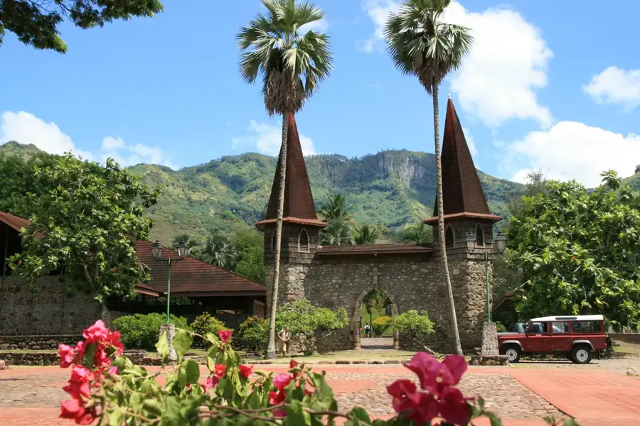
Old church gate
Ruins of an old church gate on Nuku Hiva, only stone pillars remain.
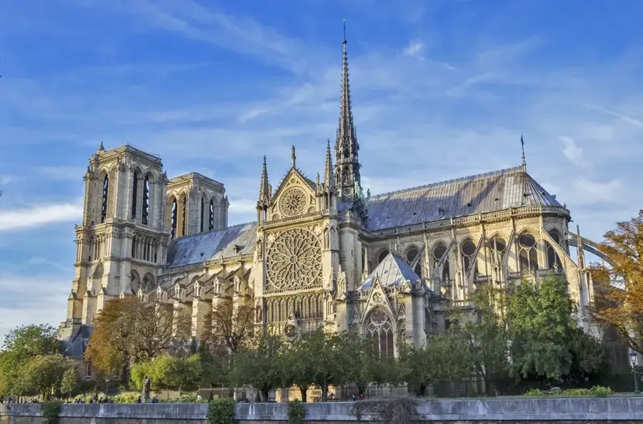
Cathédrale Notre-Dame de Taiohae
Cathedral on Nuku Hiva, seat of the Diocese of Taiohae.
Royaume de Jéhovah
Kingdom Hall of Jehovah's Witnesses on Nuku Hiva.
Chapelle de l'hopital
Chapel at the hospital in Taiohae on Nuku Hiva, for patients and staff.
Musee de rose corser🏛 museum
Museum on Nuku Hiva, dedicated to local history and culture.
Sights nearby
Frequently asked questions
Is Mount Muake developed for tourists?
Do you need a permit?
Is the terrain safe for hikers?
What views does the mountain offer?
Are there water sources?
Mount Muake: where is it located?
Mount Muake: what is there to see?
Mount Muake: when is the best time to visit?
Mount Muake: why is it worth visiting?

Nearby cities

History & landmarks
More places