Plizio Visual Lab
Massif des Maures
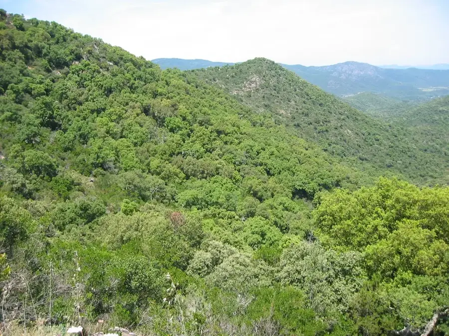
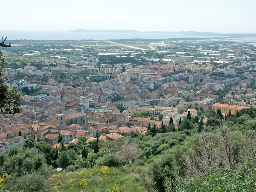
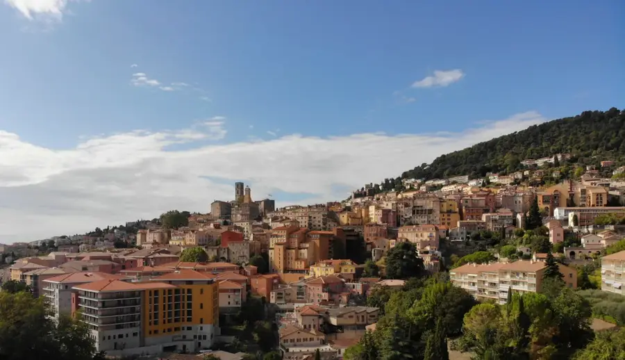
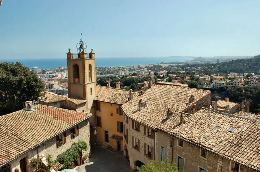
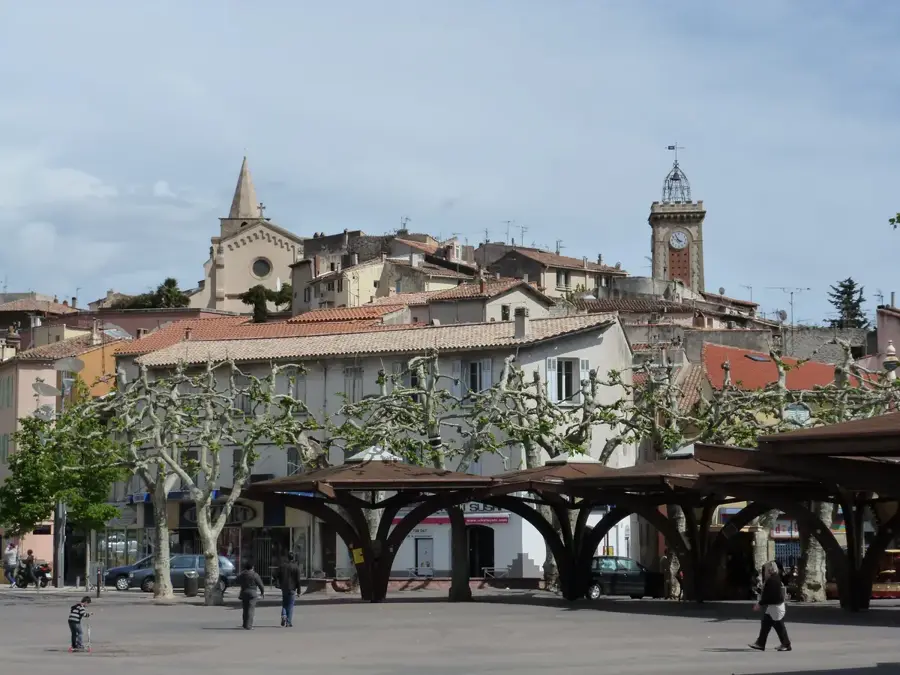
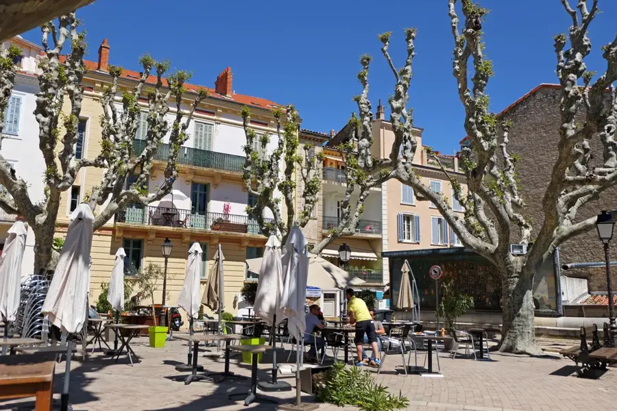
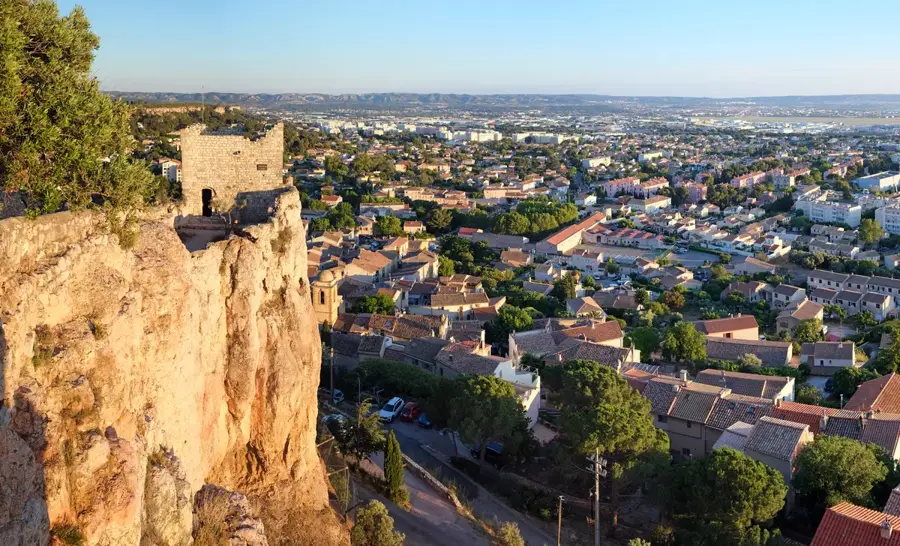
The Massif des Maures is an ancient mountain range in the Var department, stretching between Hyères and Fréjus along the Côte d'Azur coastline. It is one of the wildest and most densely forested areas of Provence, covering approximately 135,000 hectares. Geologically, the massif is composed of very old crystalline rocks such as granite, gneiss, and schist, which distinguishes it clearly from the surrounding limestone ranges. The vegetation is dominated by extensive cork oak and chestnut forests; historically, cork production played a central economic role in the region. The highest point is the Signal de la Sauvette at 776 meters, offering panoramic views over the Îles d'Hyères and the Mediterranean Sea. The area is frequently threatened by forest fires, posing significant challenges for ecological management. Pretty villages like Collobrières are located in its valleys, famous for their chestnut specialties. The region also serves as a refuge for the rare Hermann's tortoise, whose protection is a major local conservation focus.
- Location: Provence-Alpes-Côte d'Azur, France
- Top sights: Musée de la fabrique du marron glacé · La Sauvette · Église Saint-Pons
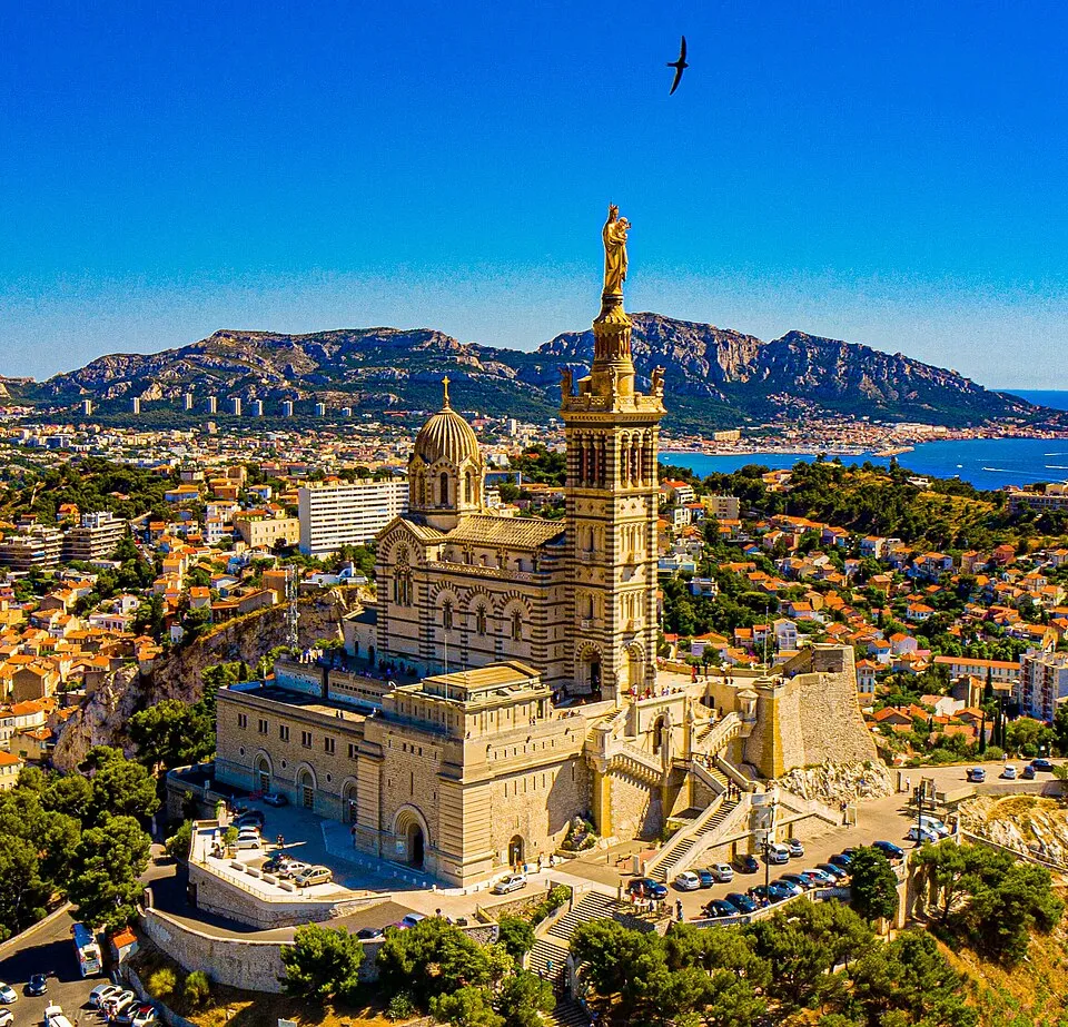
- Nearby: Bormes-les-Mimosas (11 km)
Best time to visit & climate
The most pleasant time to visit is Jun, Aug, Sep.
| Jan | Feb | Mar | Apr | May | Jun | Jul | Aug | Sep | Oct | Nov | Dec | |
|---|---|---|---|---|---|---|---|---|---|---|---|---|
| Avg °C | 5 | 6 | 9 | 12 | 16 | 22 | 25 | 24 | 20 | 15 | 10 | 6 |
| Rain mm | 52 | 46 | 50 | 49 | 51 | 29 | 14 | 20 | 48 | 87 | 109 | 72 |
📋 Practical info
Geography
Facts
- The massif covers an area of approximately 135,000 hectares.
- The highest peak is the Signal de la Sauvette at 776 meters.
- It is composed of old crystalline rocks like gneiss and schist.
- The cork oak forests have been managed for centuries.
- The village of Collobrières is known as the capital of the chestnut.
- It is a vital conservation area for the Hermann's tortoise.
Explore nearby
Notable places around
Route planner — Car & Motorhome
Where do you start? We build the route here, with stops and country notes along the way.
© OpenStreetMap contributors · OpenRouteService
Sights in the town Massif des Maures (7)
Sights nearby
Frequently asked questions
What tree species are typical for the massif?
Are there wild animals there?
How high is the highest point?
Is there a fire risk in summer?
What is a local specialty?
Massif des Maures: where is it located?
Massif des Maures: what is there to see?
Massif des Maures: when is the best time to visit?
Massif des Maures: why is it worth visiting?

Nearby cities