Plizio Visual Lab
Esterel Massif
Weather…
Water temperature…
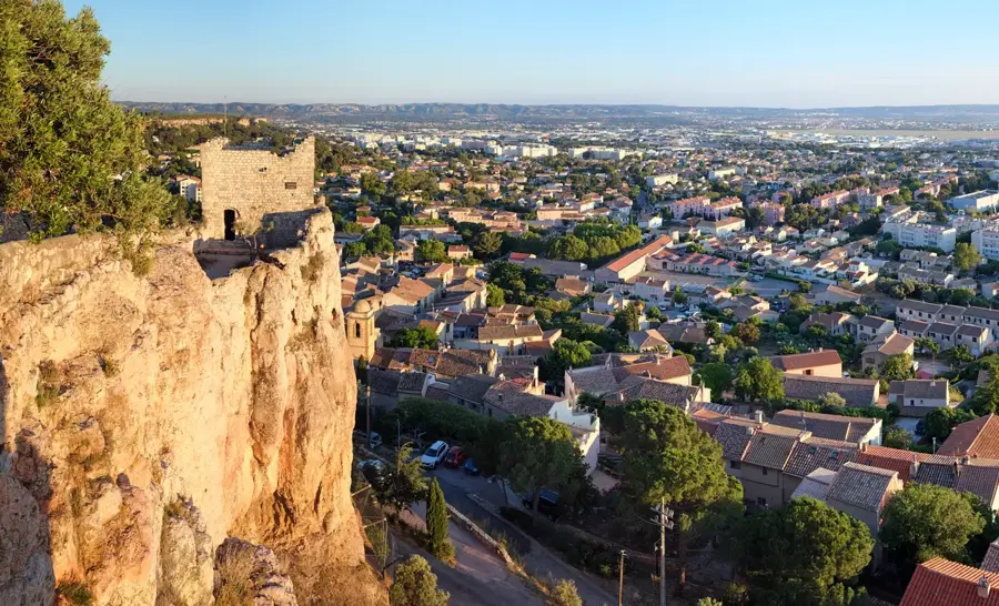
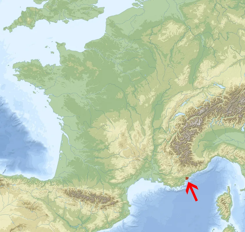
The Esterel Massif is a volcanic mountain range on the French Mediterranean coast, situated between Saint-Raphaël and Cannes. It is renowned for its spectacular red color, which results from the high concentration of rhyolite, a volcanic rock dating back to the Permian period about 250 million years ago. The relief is rugged and fragmented, characterized by deep gorges, jagged rock faces, and steep cliffs that plunge directly into the azure sea. Its highest point is Mont Vinaigre at 618 meters, offering wide panoramic views over the Côte d'Azur. Botanically, the massif is known for its cork oak forests and typical Mediterranean scrubland (maquis), although the vegetation has frequently been affected by wildfires in the past. The area is accessed via numerous hiking trails and the famous 'Corniche d'Or' coastal road, inaugurated in 1903, which showcases the natural beauty of the relief to travelers.
- Location: Provence-Alpes-Côte d'Azur, France
- Top sights: Réserve biologique dirigée de Perthus · Oppidum du Perthus · Maison Forestière des Charretiers
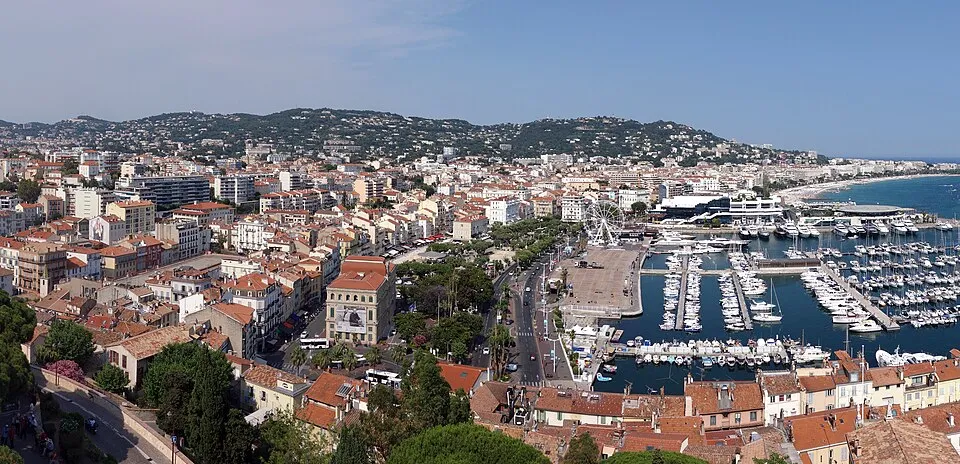
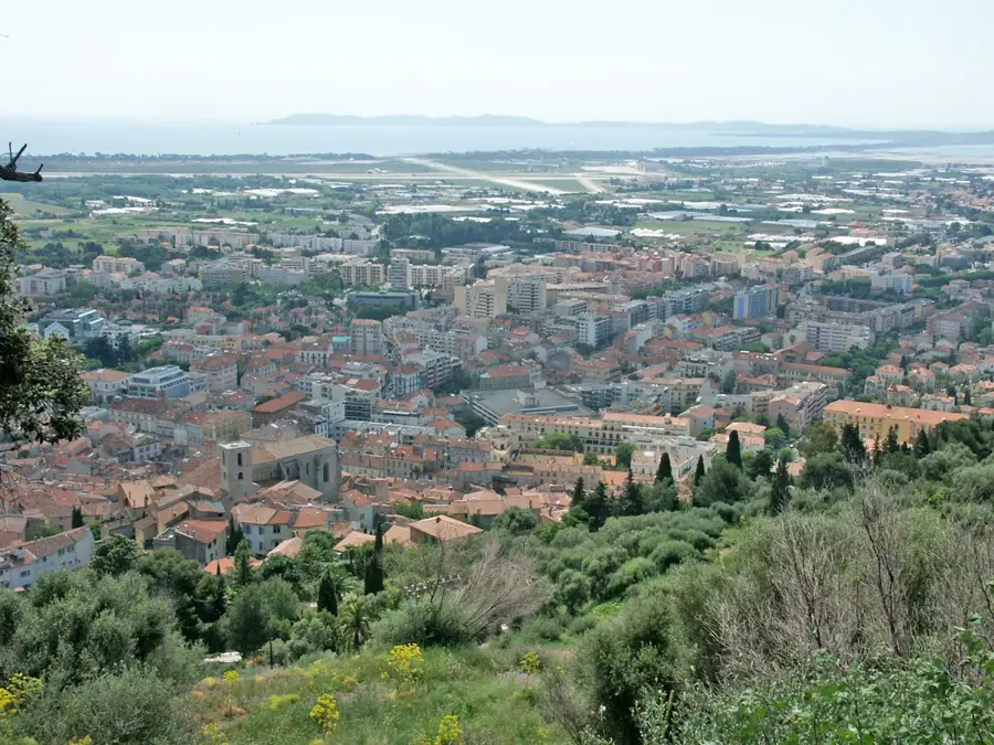
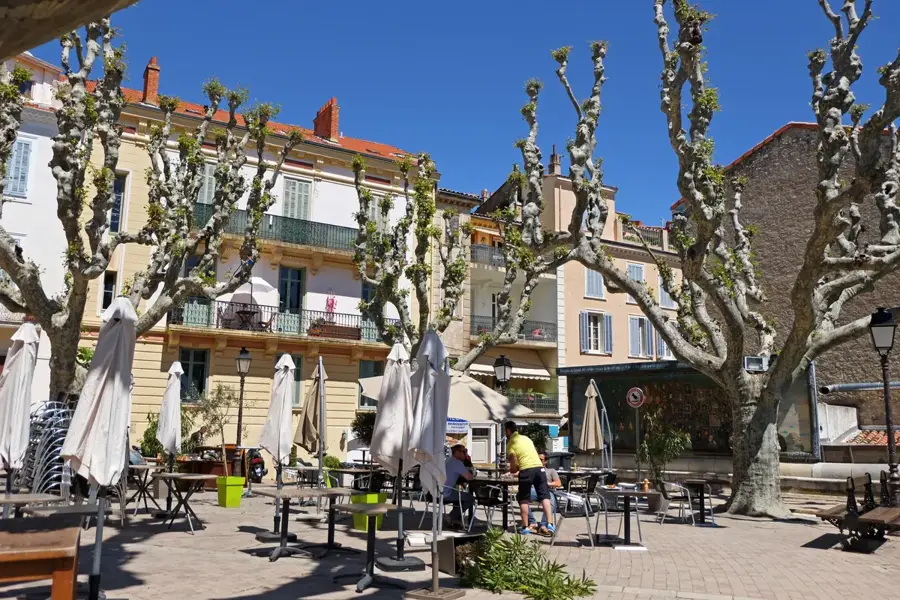
- Nearby: Agay (5 km)
Best time to visit & climate
The most pleasant time to visit is Jun, Jul, Sep.
| Jan | Feb | Mar | Apr | May | Jun | Jul | Aug | Sep | Oct | Nov | Dec | |
|---|---|---|---|---|---|---|---|---|---|---|---|---|
| Avg °C | 8 | 8 | 10 | 13 | 17 | 22 | 25 | 25 | 21 | 17 | 12 | 9 |
| Rain mm | 58 | 55 | 62 | 56 | 52 | 29 | 14 | 20 | 50 | 98 | 126 | 84 |
📋 Practical info
Geography
Facts
- Highest point is Mont Vinaigre at 618 meters
- Composed of red rhyolite rock from the Permian period
- The protected area covers approximately 32,000 hectares
- The Corniche d'Or coastal road was completed in 1903
- Served as a hideout for outlaws in the 18th century
- Spans the departments of Var and Alpes-Maritimes
Explore nearby
Notable places around
Route planner — Car & Motorhome
Where do you start? We build the route here, with stops and country notes along the way.
© OpenStreetMap contributors · OpenRouteService
Sights in the town Esterel Massif (6)
Les Suvières
300-meter hill in the Esterel, offering views of the coast and hinterland.
Réserve biologique dirigée de Suvières
Biosphere reserve in the Esterel, protecting local flora and fauna.
Sights nearby
Frequently asked questions
What is the most striking feature of the Esterel Massif?
Where is the massif located?
What is the name of the famous coastal road there?
What is the highest point?
What activities are possible?
Esterel Massif: where is it located?
Esterel Massif: what is there to see?
Esterel Massif: when is the best time to visit?
Esterel Massif: why is it worth visiting?

Nearby cities