Plizio Visual Lab
Île de Bréhat
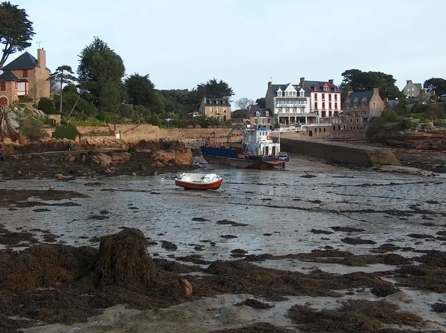
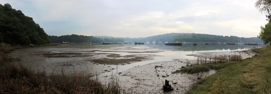
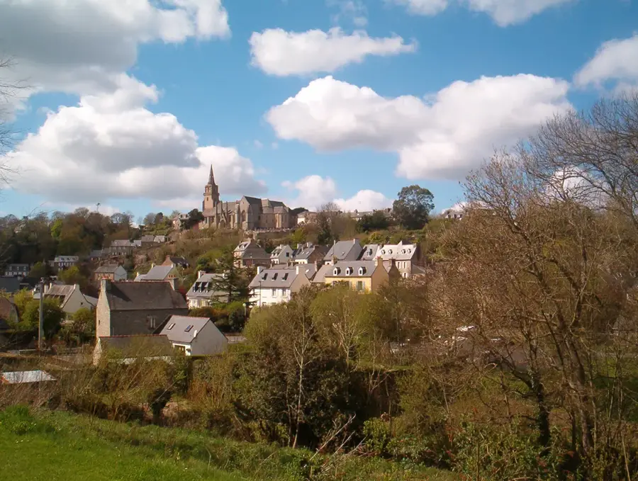
Île de Bréhat is an archipelago located off the northern coast of Brittany in the Côtes-d'Armor department. Often called the 'Island of Flowers,' it benefits from a mild microclimate influenced by the Gulf Stream, allowing Mediterranean plants like agapanthus to thrive far north of their usual range. Geographically, Bréhat consists of two main islands linked by a bridge at low tide, surrounded by numerous islets of pink granite. This distinctive rock formation gives the coastline a reddish hue that is particularly striking at sunset. Historically, the island was a significant fishing base and features several historic lighthouses, such as the Phare du Paon in the north. One of its most unique aspects is that the island is almost entirely car-free, preserving its tranquil and natural atmosphere. Transportation is primarily conducted by foot or bicycle. The landscape is varied, ranging from sheltered gardens in the south to wild, rugged cliffs in the north that face the Atlantic Ocean.
- Location: Bretagne, France
- Top sights: Église Notre-Dame de Bonne Nouvelle · Moulin de Crech Tarek · Chapelle Saint-Michel
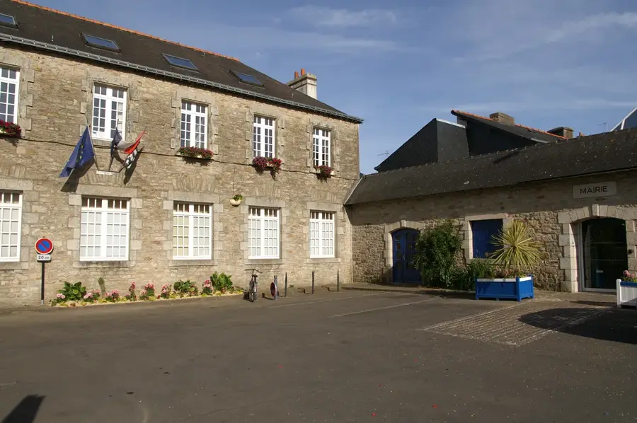
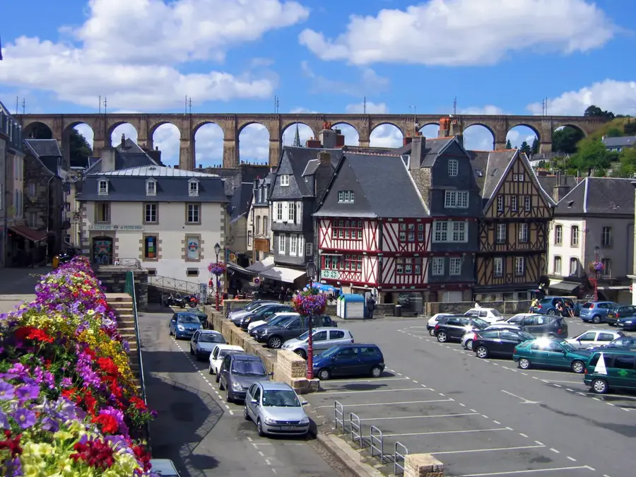
- Nearby: Loguivy de la Mer (5 km)
Best time to visit & climate
The most pleasant time to visit is Jul–Sep.
| Jan | Feb | Mar | Apr | May | Jun | Jul | Aug | Sep | Oct | Nov | Dec | |
|---|---|---|---|---|---|---|---|---|---|---|---|---|
| Avg °C | 9 | 8 | 9 | 10 | 12 | 15 | 17 | 17 | 16 | 15 | 12 | 10 |
| Rain mm | 92 | 78 | 65 | 49 | 53 | 48 | 48 | 53 | 44 | 91 | 103 | 101 |
📋 Practical info
Geography
Facts
- Bréhat was France's first designated natural site in 1907.
- The island consists of two parts linked by a bridge.
- Motor vehicles are prohibited throughout the island.
- The pink granite formations are roughly 300 million years old.
- The archipelago includes approximately 86 islets.
- The Gulf Stream prevents frost even during winter months.
Explore nearby
Notable places around
Route planner — Car & Motorhome
Where do you start? We build the route here, with stops and country notes along the way.
© OpenStreetMap contributors · OpenRouteService
Sights in the town Île de Bréhat (10)
Chapelle Notre-Dame
Chapel in Côtes-d'Armor, France, dedicated to the Virgin Mary.
Pors Ar Men
Sandy beach on the coast of Bréhat island, suitable for swimming.
Moulin du nord
Windmill in the northern part of Bréhat island.
Grand Guerzido
Sandy beach on Bréhat island, in a quiet setting.
Petit Guerzido
Small sandy beach on Bréhat island, near Grand Guerzido.
Verreries de Bréhat
Glassblowing workshop on Bréhat island, selling handmade items.
Sights nearby
Frequently asked questions
How do you get to the island?
Are cars allowed on the island?
Can you rent bicycles?
Why is it called the 'island of flowers'?
Is a day trip sufficient?
Île de Bréhat: where is it located?
Île de Bréhat: what is there to see?
Île de Bréhat: when is the best time to visit?
Île de Bréhat: why is it worth visiting?

Nearby cities