Plizio Visual Lab
Mount Kono

Weather…
Water temperature…
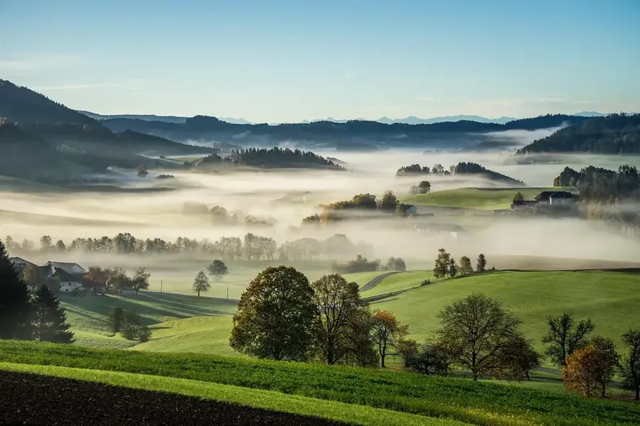
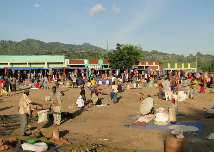
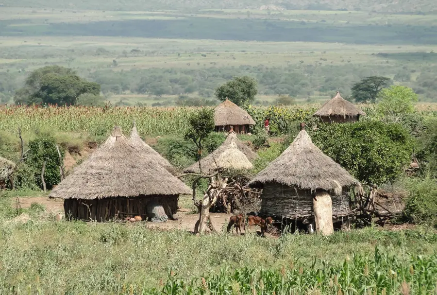
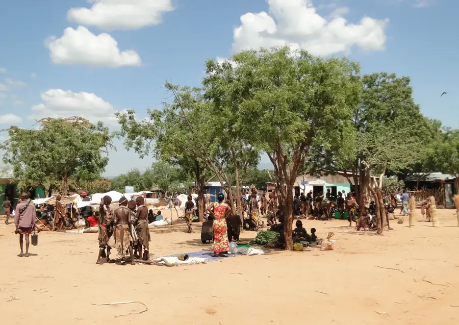
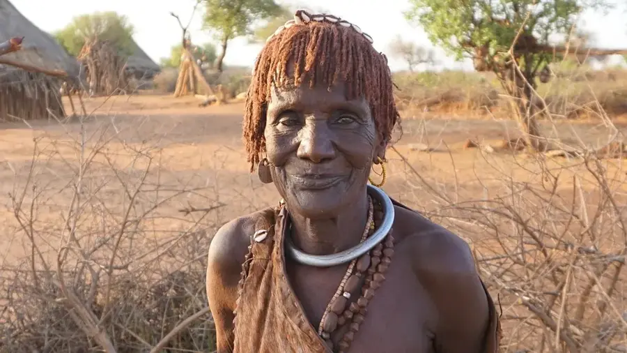
Mount Kono is a prominent elevation located in the southern part of Ethiopia, within the SNNPR region, near the transition between the fertile highlands and the more arid southern Rift Valley. The geography of the surrounding area is characterized by hilly terrain and semi-arid plains, reflecting the drier climate of the southern regions compared to the central highlands. The mountain serves as a significant geographic landmark in a landscape dominated by traditional agricultural and pastoral communities, most notably the Konso people, who are world-famous for their ancient terraced farming systems. The climate is generally warm with distinct wet and dry seasons, which dictate the local vegetation patterns and water availability. Historically, the area around Mount Kono has been a vital crossroads for various ethnic groups and southern trade routes. Its modern significance is primarily linked to the preservation of cultural heritage and the development of sustainable land management practices in a sensitive ecological zone.
- Location: Ethiopia
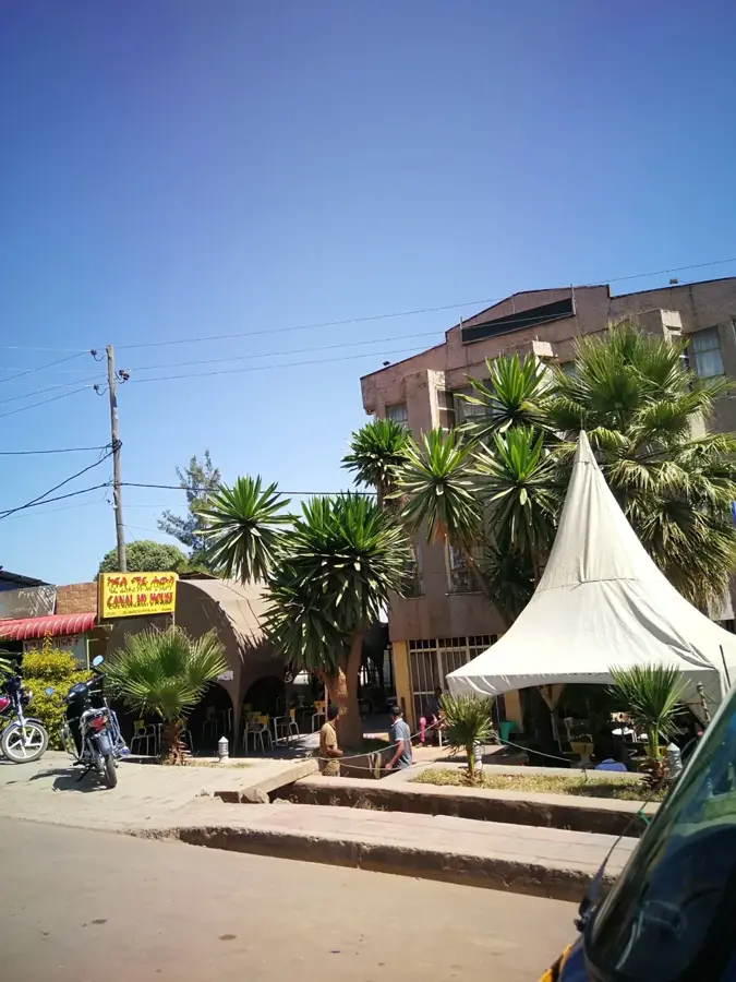
- Top sights: Weavers cooperative · Lookout Dorze Lodge · Dorze
- Nearby: Arba Minch (16 km)
Best time to visit & climate
The most pleasant time to visit is Jan, Feb, Dec.
| Jan | Feb | Mar | Apr | May | Jun | Jul | Aug | Sep | Oct | Nov | Dec | |
|---|---|---|---|---|---|---|---|---|---|---|---|---|
| Avg °C | 23 | 24 | 24 | 22 | 21 | 20 | 19 | 20 | 21 | 21 | 21 | 21 |
| Rain mm | 21 | 25 | 89 | 200 | 171 | 91 | 83 | 98 | 97 | 135 | 102 | 60 |
📋 Practical info
Geography
Facts
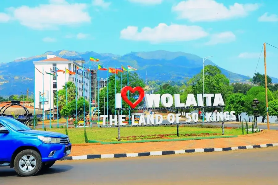
- Located in the SNNPR region of southern Ethiopia.
- Situated near the UNESCO-recognized Konso cultural landscape.
- Geography consists of hilly terrain and semi-arid plains.
- Elevation ranges between 1,500 and 2,000 meters above sea level.
- The region is famous for its ancient stone-walled agricultural terraces.
- Traditional home to the Konso and Gidole ethnic groups.
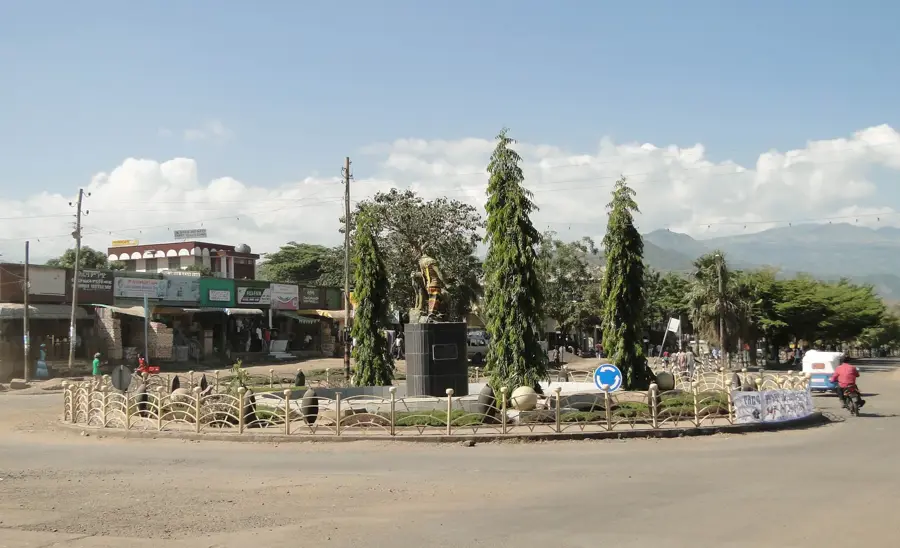
Explore nearby
Notable places around
Route planner — Car & Motorhome
Where do you start? We build the route here, with stops and country notes along the way.
© OpenStreetMap contributors · OpenRouteService
Sights in the town Mount Kono (4)
Sights nearby
Frequently asked questions
Is Mount Kono developed for tourism?
What view does the summit offer?
Are there any restaurants nearby?
When should you start the hike?
Are there drinking water sources on the way?
Mount Kono: where is it located?
Mount Kono: what is there to see?
Mount Kono: when is the best time to visit?
Mount Kono: why is it worth visiting?

Nearby cities
History & landmarks
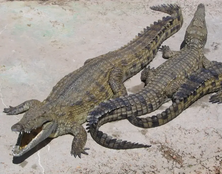
Nature
More places