Plizio Visual Lab
Denkalia Volcanic Field
Weather…
Water temperature…
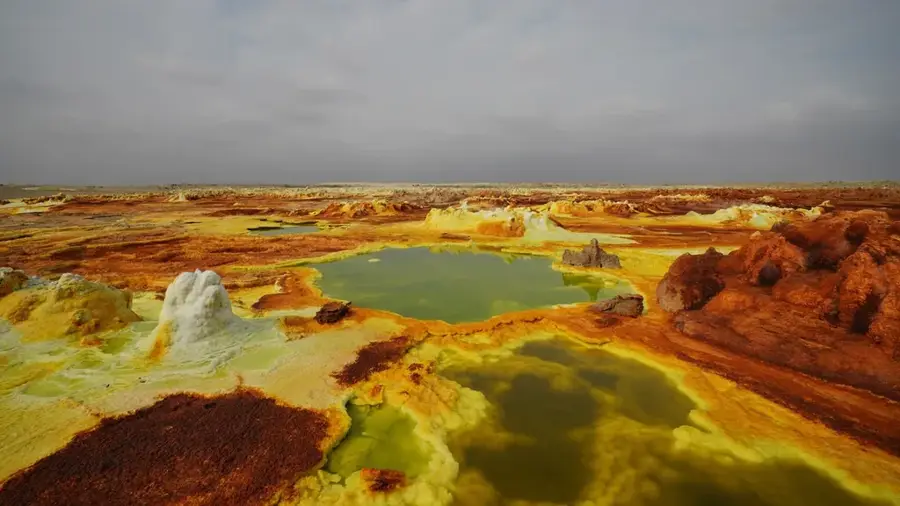
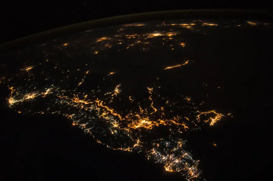
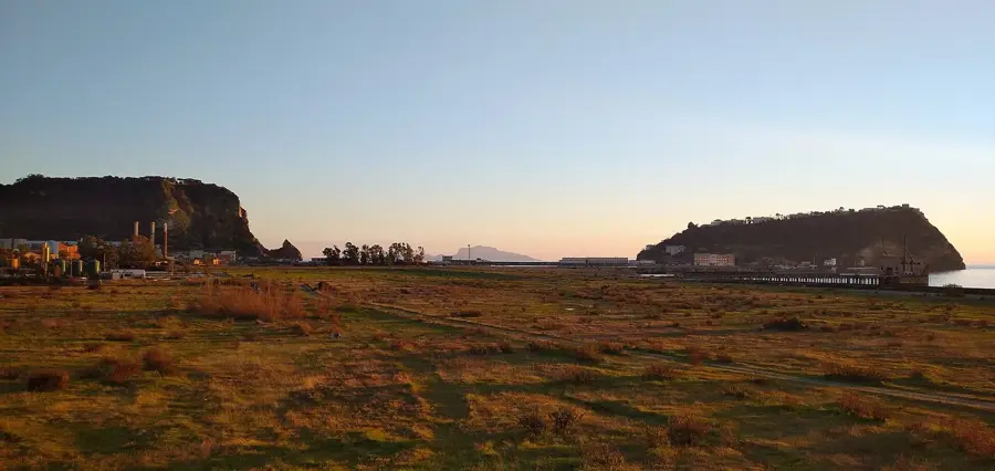
The Denkalia Volcanic Field is located in the southern part of the Eritrean coastal region within the Danakil Depression, one of the most geologically active areas on Earth. This apocalyptic-looking landscape is characterized by vast basalt fields, cinder cones, and active fissure volcanoes that bear witness to the immense forces of the East African Rift. Here, the African, Arabian, and Somalian tectonic plates are drifting apart, resulting in constant tectonic and volcanic activity. A prominent feature is the Nabro volcano, which erupted massively in 2011 after centuries of dormancy, permanently altering the region. The climate is extreme, with temperatures regularly reaching 50 degrees Celsius, making it one of the hottest places on the planet. Despite the hostile conditions, the field hosts valuable mineral deposits, particularly potash and sulfur. The broad lava plains form an inhospitable barrier, crossed only by the nomadic Afar tribes who have adapted to these extreme environments.
Best time to visit & climate
The most pleasant time to visit is Jan, Feb, Dec.
| Jan | Feb | Mar | Apr | May | Jun | Jul | Aug | Sep | Oct | Nov | Dec | |
|---|---|---|---|---|---|---|---|---|---|---|---|---|
| Avg °C | 25 | 26 | 28 | 30 | 32 | 33 | 32 | 31 | 31 | 30 | 28 | 25 |
| Rain mm | 3 | 5 | 10 | 40 | 19 | 4 | 36 | 65 | 23 | 12 | 2 | 6 |
📋 Practical info
Geography
Facts
- The Nabro volcano erupted in June 2011 after a prolonged period of dormancy.
- The field is part of the Afar Triple Junction, where three tectonic plates meet.
- Surface temperatures here can frequently exceed 50°C.
- Portions of the depression lie well below sea level.
- Basaltic lava flows cover thousands of square kilometers in the area.
- The region hosts significant commercial deposits of potash (potassium salts).
Explore nearby
Notable places around
Route planner — Car & Motorhome
Where do you start? We build the route here, with stops and country notes along the way.
© OpenStreetMap contributors · OpenRouteService
Sights nearby
Frequently asked questions
What characterizes the Denkalia volcanic field?
Do I need a guide?
When is the best time?
Is it safe?
What is the best equipment?
Denkalia Volcanic Field: where is it located?
Denkalia Volcanic Field: when is the best time to visit?
Denkalia Volcanic Field: why is it worth visiting?

Nearby cities


History & landmarks
More places