Plizio Visual Lab
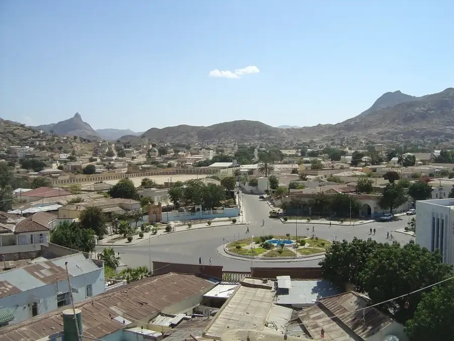
Hames Mountains

Weather…
Water temperature…
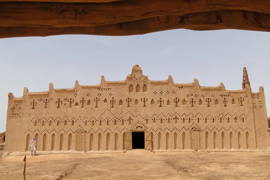
The Hames Mountains form a prominent range in the central highlands of Eritrea, distinguished by steep slopes and deep ravines. Geologically, they consist predominantly of ancient crystalline basement rock, shaped by erosion over millions of years. The region is noted for its cool mountain climate, which contrasts sharply with the heat of the surrounding lowlands, and supports diverse flora including juniper and wild olive trees. Historically, the Hames Mountains provided strategic sanctuary during various conflicts and were home to communities practicing terrace farming to make use of the rugged terrain. The mountains serve as a significant watershed for seasonal rivers that drain both east toward the Red Sea and west into the Gash-Barka basin. Today, they are a destination for trekking, offering spectacular vistas across the Eritrean landscape.
- Location: Eritrea
- Nearby: Keren (49 km)
Best time to visit & climate
The most pleasant time to visit is Jan, Feb, Dec.
| Jan | Feb | Mar | Apr | May | Jun | Jul | Aug | Sep | Oct | Nov | Dec | |
|---|---|---|---|---|---|---|---|---|---|---|---|---|
| Avg °C | 22 | 23 | 24 | 27 | 30 | 32 | 31 | 29 | 30 | 27 | 24 | 22 |
| Rain mm | 3 | 6 | 3 | 13 | 9 | 11 | 56 | 81 | 18 | 7 | 9 | 5 |
📋 Practical info
Geography
Facts
- The Hames Mountains reach elevations exceeding 2,500 meters.
- The rock formations are part of the ancient Arabian-Nubian Shield.
- Terrace farming has been practiced here by local tribes for centuries.
- The region is a known habitat for the endangered African wild ass.
- Key tributaries of the Anseba River originate in these mountains.
- Average temperatures in the winter months hover around 15 degrees Celsius.
Explore nearby
Notable places around
Route planner — Car & Motorhome
Where do you start? We build the route here, with stops and country notes along the way.
© OpenStreetMap contributors · OpenRouteService
Sights nearby
Frequently asked questions
How high is the Hames Mountain range?
What hiking routes are available in Hames-Gebirge?
Is Hames-Gebirge suitable for beginners?
How long does a typical hike in Hames-Gebirge take?
Do I need a mountain guide in Hames-Gebirge?
Hames Mountains: where is it located?
Hames Mountains: when is the best time to visit?
Hames Mountains: why is it worth visiting?

Nearby cities

History & landmarks
More places