Plizio Visual Lab
Anseba Valley

Weather…
Water temperature…
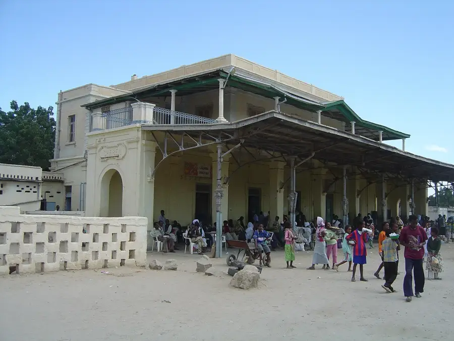
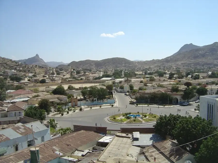
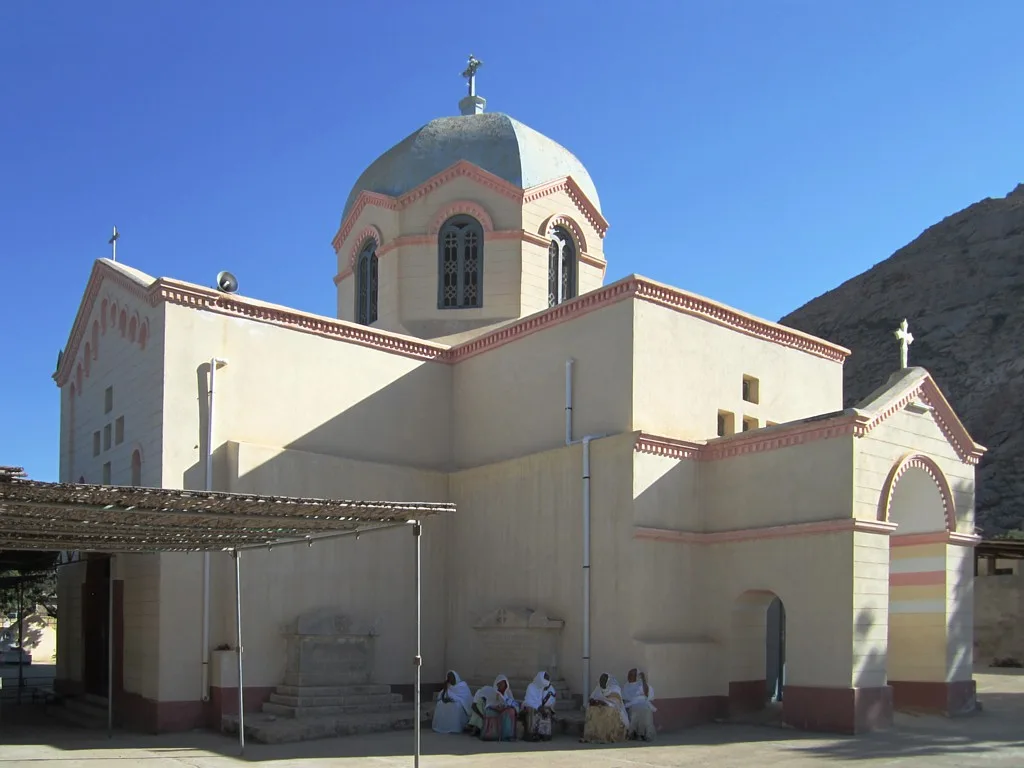
The Anseba Valley extends through north-central Eritrea and is traversed by the Anseba River, a major tributary of the Baraka. Originating in the highlands west of Asmara, the valley winds northward through rugged mountain landscapes until it reaches the lowland plains. Geologically, the valley is defined by sedimentary rocks and Quaternary alluvial soils deposited by the seasonal river flow. These fertile soils establish the Anseba Valley as one of the country's most significant centers for horticulture, particularly in the production of fruits and vegetables. The city of Keren, one of Eritrea's largest urban centers, is strategically located within the valley, serving as a vital commercial and educational hub. During World War II, the valley was the site of the decisive Battle of Keren in 1941, which heralded the end of Italian rule in East Africa. The vegetation along the riverbanks consists of gallery forests with Doum palms and acacias, providing a crucial corridor for local wildlife.
- Location: Eritrea
- Nearby: Keren (20 km)
Best time to visit & climate
The most pleasant time to visit is Jan, Feb, Dec.
| Jan | Feb | Mar | Apr | May | Jun | Jul | Aug | Sep | Oct | Nov | Dec | |
|---|---|---|---|---|---|---|---|---|---|---|---|---|
| Avg °C | 20 | 22 | 23 | 26 | 28 | 30 | 28 | 26 | 27 | 24 | 23 | 21 |
| Rain mm | 3 | 5 | 4 | 17 | 13 | 20 | 92 | 120 | 27 | 7 | 7 | 3 |
📋 Practical info
Geography
Facts
- The Anseba River has a total length of approximately 346 kilometers.
- Keren, the valley's primary city, is situated at an elevation of 1,390 meters.
- The valley is a leading center for Eritrea's dairy and poultry production.
- The historic Battle of Keren took place here from February to March 1941.
- The river is seasonal but sustains high groundwater levels throughout the year.
- Citrus fruits and bananas are the primary agricultural exports of the valley.
Explore nearby
Notable places around
Route planner — Car & Motorhome
Where do you start? We build the route here, with stops and country notes along the way.
© OpenStreetMap contributors · OpenRouteService
Sights nearby
Frequently asked questions
What is the Anseba Valley?
When to visit?
Is it good for hiking?
Do I need a guide?
Is there camping?
Anseba Valley: where is it located?
Anseba Valley: when is the best time to visit?
Anseba Valley: why is it worth visiting?

Nearby cities
History & landmarks
More places