Plizio Visual Lab
El Imposible National Park
Weather…
Water temperature…
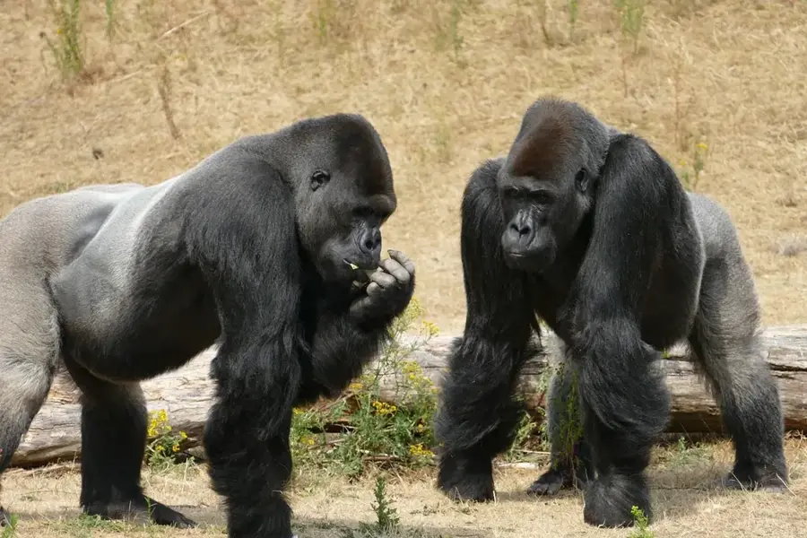
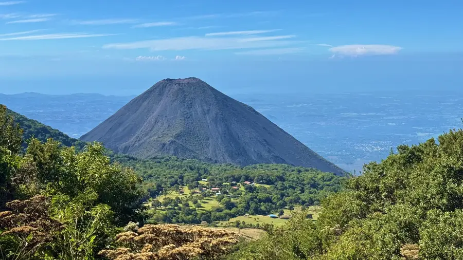
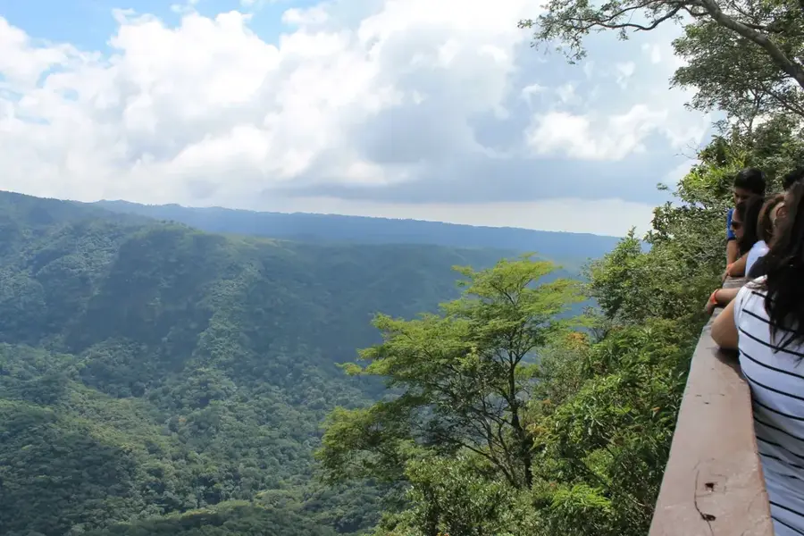
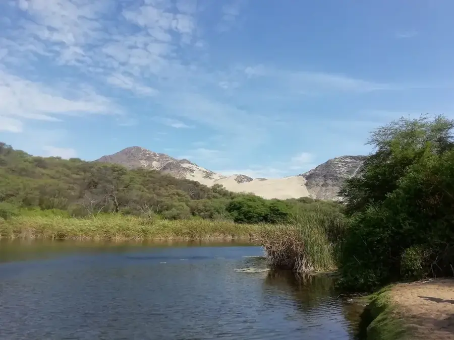
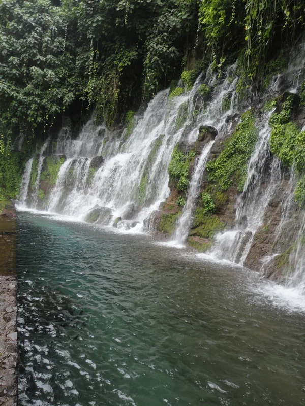
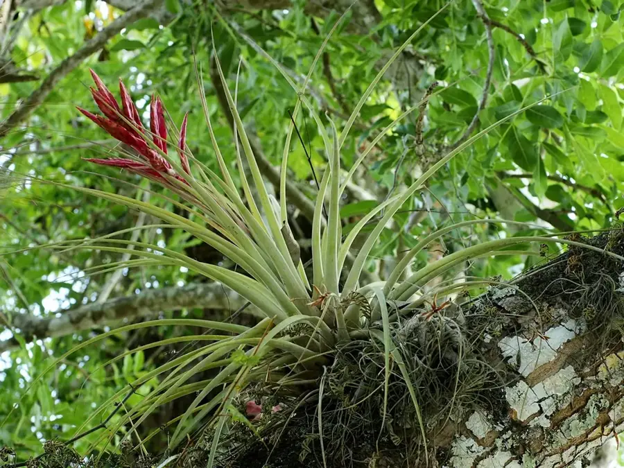
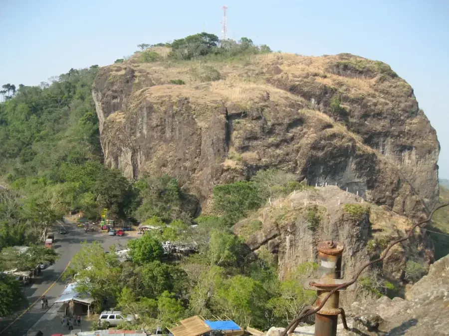
El Impossible National Park is El Salvador's premier natural reserve, protecting the nation's largest remaining stand of tropical dry forest. Located in the Apaneca-Ilamatepec mountain range within the Ahuachapán Department, the park encompasses nearly 4,000 hectares of rugged terrain. Its name originated from a notoriously dangerous mountain pass used by coffee farmers and their mules, a route that claimed many lives until a bridge was constructed in 1968. The park is characterized by its steep topography, with elevations ranging from 300 to over 1,450 meters above sea level. This geographical diversity supports an incredible array of wildlife, including pumas, ocelots, and more than 280 species of birds. Additionally, the park serves as a critical watershed, giving rise to numerous rivers that sustain surrounding communities. Designated as part of a UNESCO Biosphere Reserve, El Imposible gives hikers challenging trails and vantage points, such as Cerro León, which provide sweeping views of the Pacific coastline.
- Location: El Salvador
- Nearby: Jujutla (8 km)
Best time to visit & climate
The most pleasant time to visit is Jan, Feb, Dec.
| Jan | Feb | Mar | Apr | May | Jun | Jul | Aug | Sep | Oct | Nov | Dec | |
|---|---|---|---|---|---|---|---|---|---|---|---|---|
| Avg °C | 23 | 25 | 26 | 27 | 26 | 25 | 25 | 25 | 24 | 24 | 23 | 23 |
| Rain mm | 6 | 8 | 8 | 34 | 159 | 207 | 178 | 218 | 227 | 171 | 45 | 11 |
📋 Practical info
Geography
Facts
- The national park was officially established in 1989.
- The total protected area covers roughly 3,800 hectares.
- More than 280 bird species have been recorded within its borders.
- The 'Impossible Bridge' was completed in 1968 to improve safety.
- Elevation within the park ranges from 300 to 1,450 meters.
- The reserve is home to over 500 documented species of plants.
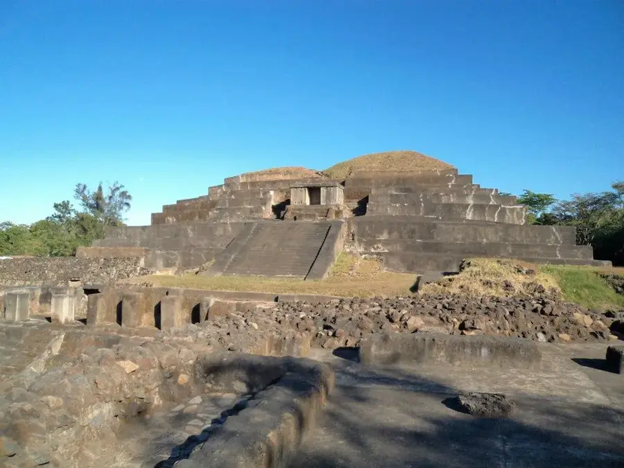
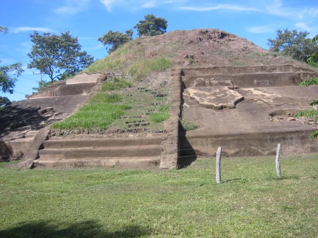
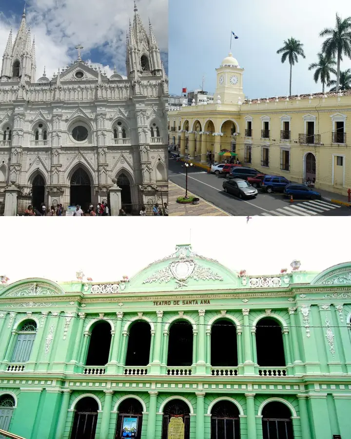
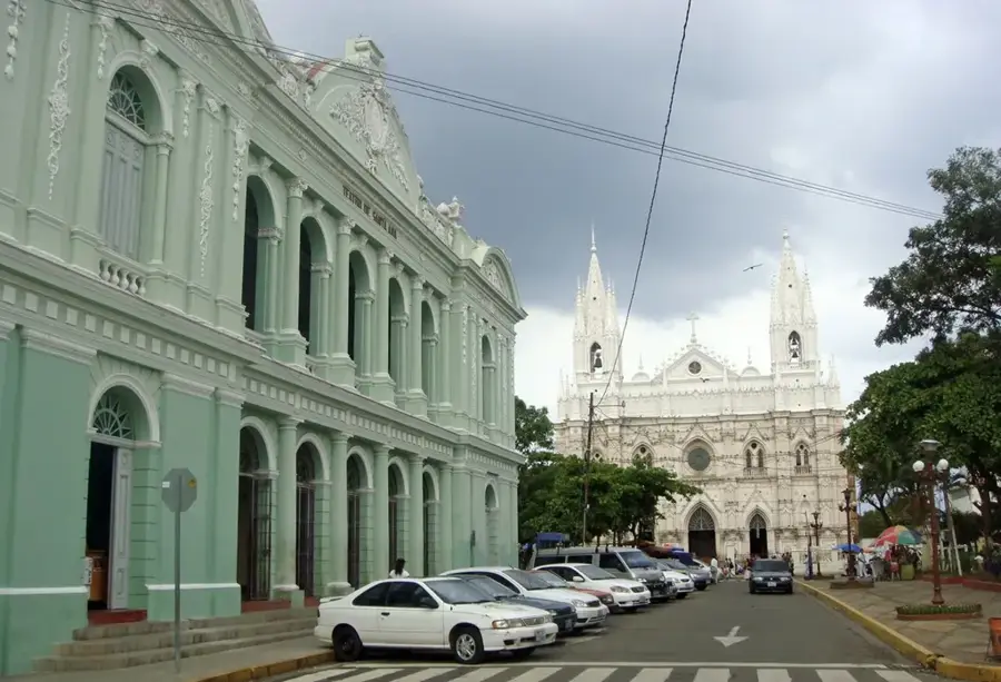
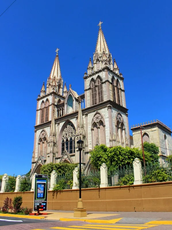
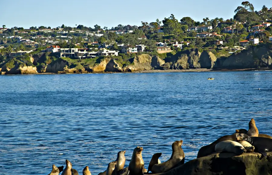
Explore nearby
Notable places around
Route planner — Car & Motorhome
Where do you start? We build the route here, with stops and country notes along the way.
© OpenStreetMap contributors · OpenRouteService
Sights nearby
Frequently asked questions
Why the name 'El Imposible'?
Is it safe to hike?
What is the best season?
Is entrance needed?
What can you see?
El Imposible National Park: where is it located?
El Imposible National Park: when is the best time to visit?
El Imposible National Park: why is it worth visiting?

Nearby cities
History & landmarks
Nature
More places