Plizio Visual Lab
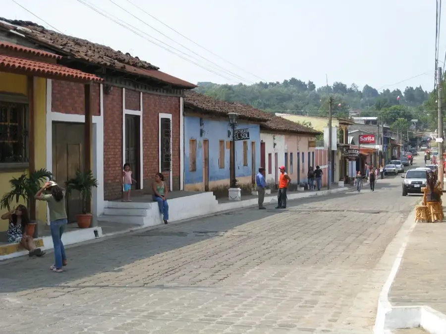
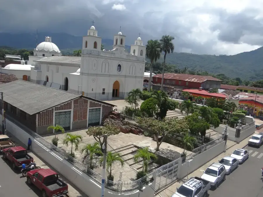
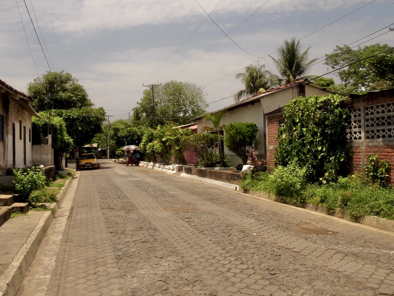
El Imposible National Park
Weather…
Water temperature…
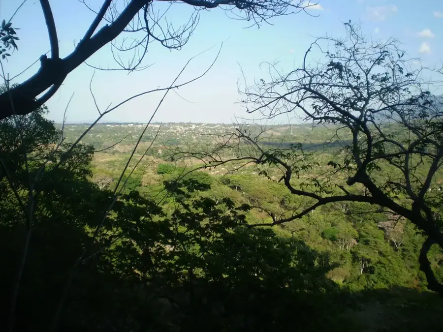
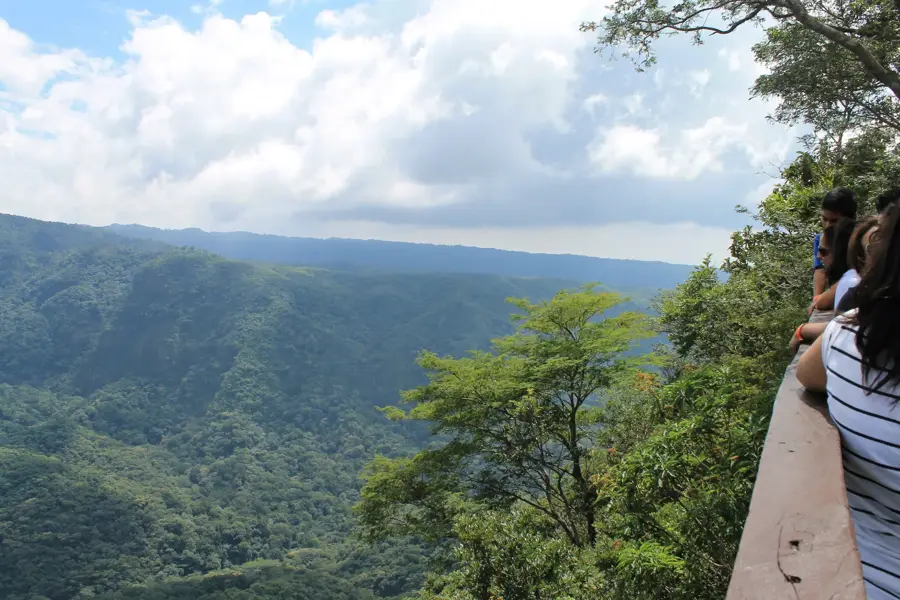
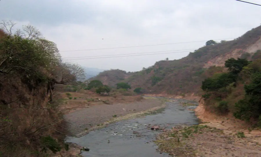
El Imposible National Park is the largest and most significant protected area in El Salvador, located within the Sierra de Apaneca-Ilamatepec mountain range. The park encompasses approximately 3,820 hectares of dry tropical forest, an ecosystem that has become rare globally. Its name originates from a historically treacherous mountain pass used by coffee farmers, where many pack animals tragically perished before a bridge was built in 1968. Established officially in 1989, the park is managed by the SalvaNatura organization and serves as a vital sanctuary for biodiversity. It houses over 500 butterfly species, 250 bird species, and rare mammals such as pumas and ocelots. The topography is characterized by steep ridges and deep ravines, with elevations ranging from 250 to 1,425 meters. Eight major rivers originate within the park, providing essential water resources to the southern coastal plains. The park remains a critical site for environmental research and conservation in Central America.
- Location: El Salvador
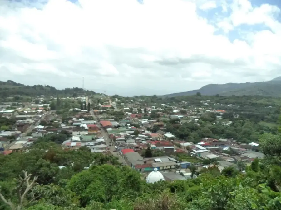
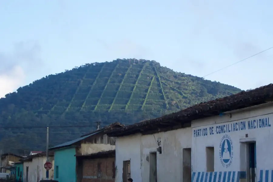
- Nearby: Jujutla (4 km)
Best time to visit & climate
The most pleasant time to visit is Jan, Feb, Dec.
| Jan | Feb | Mar | Apr | May | Jun | Jul | Aug | Sep | Oct | Nov | Dec | |
|---|---|---|---|---|---|---|---|---|---|---|---|---|
| Avg °C | 23 | 25 | 26 | 27 | 26 | 25 | 25 | 25 | 24 | 24 | 23 | 23 |
| Rain mm | 6 | 8 | 8 | 34 | 159 | 207 | 178 | 218 | 227 | 171 | 45 | 11 |
📋 Practical info
Geography
Facts
- Officially established as a national park on January 1, 1989.
- Covers a total land area of 3,820 hectares.
- Home to more than 500 different species of butterflies.
- The highest point reaches 1,425 meters above sea level.
- Source of eight permanent rivers flowing to the Pacific.
- Named after a dangerous pass used by coffee transporters.
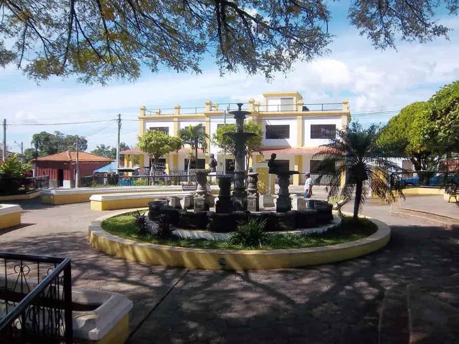
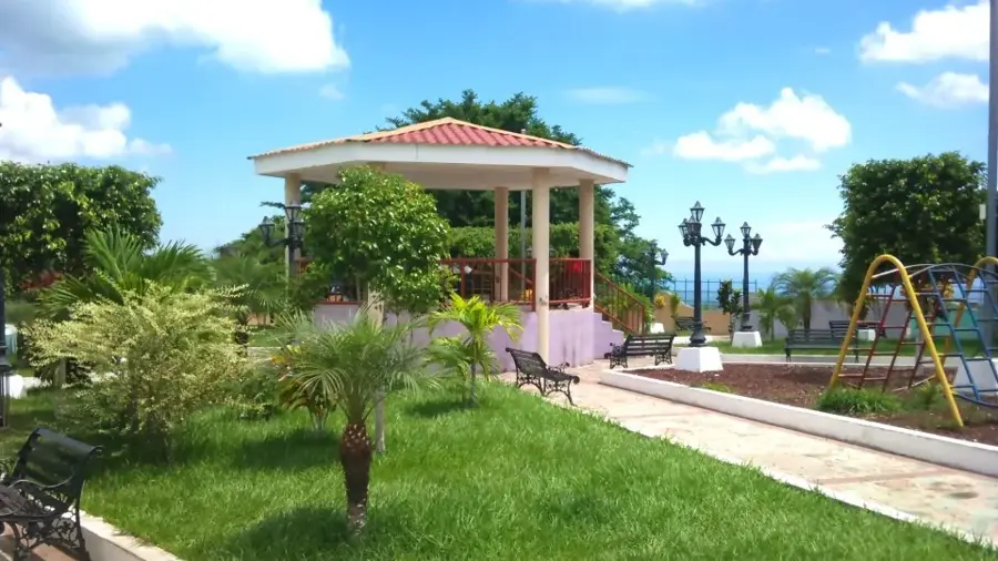
Explore nearby
Notable places around
Route planner — Car & Motorhome
Where do you start? We build the route here, with stops and country notes along the way.
© OpenStreetMap contributors · OpenRouteService
Sights in the town El Imposible National Park (1)
Sights nearby
Frequently asked questions
Is a guide mandatory in the national park?
What is the difficulty level of the hikes?
Are there dangerous animals there?
What is essential to bring?
Can one stay overnight there?
El Imposible National Park: where is it located?
El Imposible National Park: when is the best time to visit?
El Imposible National Park: why is it worth visiting?

Nearby cities
Nature
More places