Plizio Visual Lab
Qattara Depression

Weather…
Water temperature…
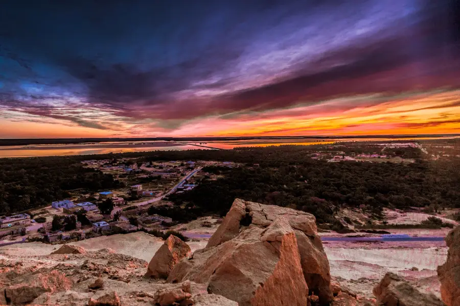
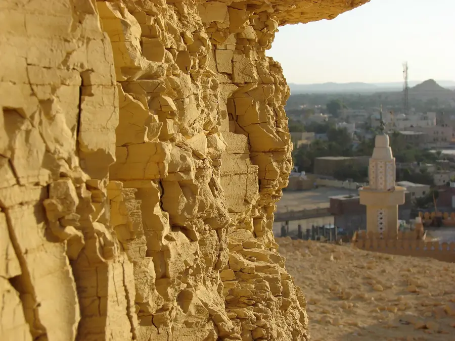
The Qattara Depression is a vast basin in northwestern Egypt, covering approximately 19,605 square kilometers, making it one of the largest natural depressions in the world. Its lowest point reaches 133 meters below sea level, which is the second lowest point on the African continent after Lake Assal in Djibouti. Formed through weathering and wind erosion, the depression is characterized by expansive salt pans, sand dunes, and hazardous salt marshes. Due to extreme aridity and soil hypersalinity, the region is almost entirely uninhabited, with the exception of the small Qara Oasis on its western fringe. Historically, the area gained strategic prominence during World War II, as its impassable terrain formed a natural defensive flank for military forces. For decades, various scientific and engineering proposals have suggested flooding the depression via a canal from the Mediterranean Sea to generate hydroelectric power, though these plans have yet to be implemented.
Best time to visit & climate
The most pleasant time to visit is Mar, Apr, Nov.
| Jan | Feb | Mar | Apr | May | Jun | Jul | Aug | Sep | Oct | Nov | Dec | |
|---|---|---|---|---|---|---|---|---|---|---|---|---|
| Avg °C | 13 | 14 | 18 | 22 | 26 | 30 | 31 | 31 | 29 | 25 | 19 | 14 |
| Rain mm | 8 | 11 | 2 | 1 | 0 | 0 | 0 | 0 | 0 | 2 | 7 | 7 |
📋 Practical info
Geography
Facts
- Lowest elevation is 133 m below sea level
- Covers an area of roughly 19,605 sq km
- Second lowest point on the African continent
- Created by millions of years of wind erosion
- Region is uninhabited except for Qara Oasis
- Served as a strategic barrier in World War II
Explore nearby
Notable places around
Route planner — Car & Motorhome
Where do you start? We build the route here, with stops and country notes along the way.
© OpenStreetMap contributors · OpenRouteService
Sights nearby
Frequently asked questions
Can tourists visit the Qattara Depression?
How deep is the lowest point of the depression?
Are there dangerous animals in this region?
Is agriculture possible in the depression?
What is the biggest risk during an expedition there?
Qattara Depression: where is it located?
Qattara Depression: when is the best time to visit?
Qattara Depression: why is it worth visiting?

Nearby cities