Plizio Visual Lab
Gabal el-Fath

Weather…
Water temperature…
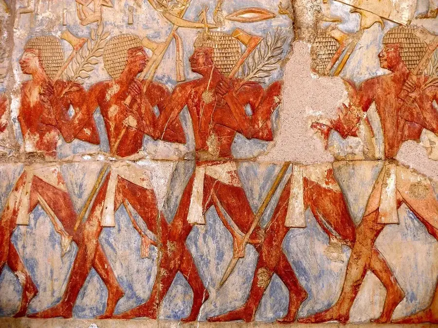
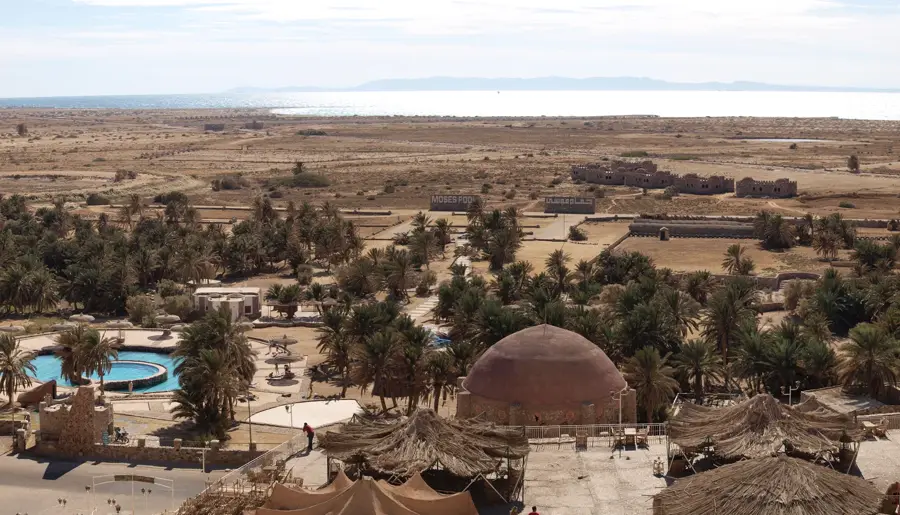
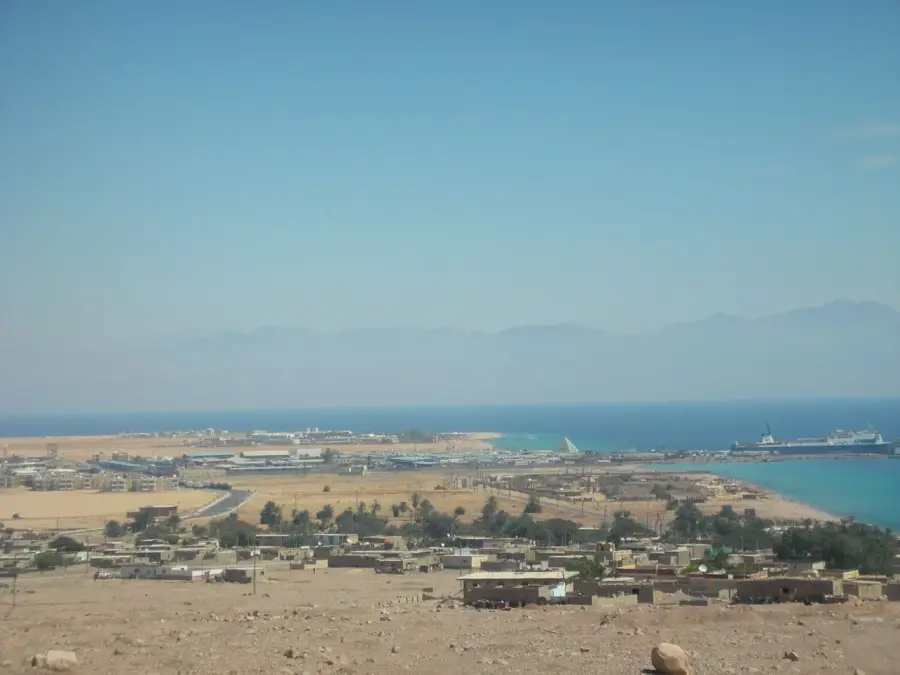
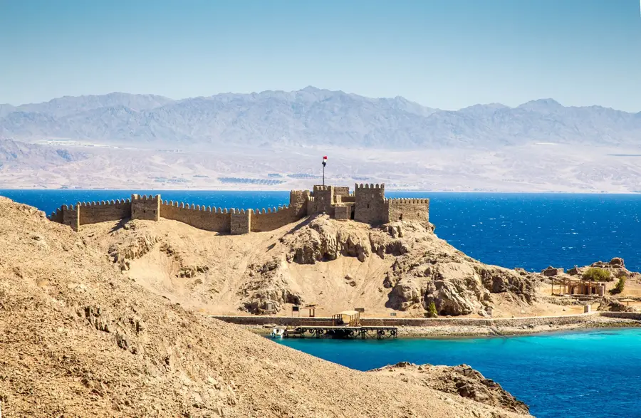
Gabal el-Fath is an elevation often associated with the Muqattam Hills near Cairo or specific areas in the Eastern Desert. The name 'Fath' translates to 'conquest' or 'opening' in Arabic, frequently referring to the Islamic conquest of Egypt in the 7th century. Geologically, the mountain consists mainly of Eocene limestone, which is rich in fossils such as nummulites. These rock layers have been used for millennia as building material for Cairo's monumental structures, including the Citadel of Saladin. Historically, the mountain provided a strategic vantage point over the Nile Valley and served various rulers as a defensive line. Its caves and rock outcroppings hold traces of religious significance, ranging from early Christian hermitages to Islamic shrines.
- Location: Egypt
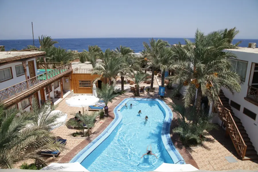
- Nearby: El Tor (25 km)
Best time to visit & climate
The most pleasant time to visit is Apr, May, Oct.
| Jan | Feb | Mar | Apr | May | Jun | Jul | Aug | Sep | Oct | Nov | Dec | |
|---|---|---|---|---|---|---|---|---|---|---|---|---|
| Avg °C | 10 | 12 | 16 | 20 | 24 | 27 | 29 | 29 | 26 | 22 | 17 | 12 |
| Rain mm | 3 | 3 | 3 | 1 | 0 | 0 | 0 | 0 | 0 | 1 | 3 | 2 |
📋 Practical info
Geography
Facts
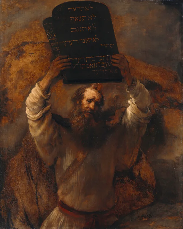
- The name commemorates the Islamic conquest in 641 AD.
- The limestone contains abundant nummulite fossils.
- Stone from this mountain was used to build the Cairo Citadel.
- It provides a strategic view over historical Cairo.
- Caves in the mountain served as religious retreats for centuries.
- Geologically, it is part of the Eocene Mokattam formation.
Explore nearby
Notable places around
Route planner — Car & Motorhome
Where do you start? We build the route here, with stops and country notes along the way.
© OpenStreetMap contributors · OpenRouteService
Sights nearby
Frequently asked questions
Where is Gabal el-Fath located?
What does 'el-Fath' mean?
Are there hiking trails there?
What can you see in the surrounding area?
Is a visit dangerous?
Gabal el-Fath: where is it located?
Gabal el-Fath: when is the best time to visit?
Gabal el-Fath: why is it worth visiting?

Nearby cities
History & landmarks
More places