Plizio Visual Lab
Nuweiba
ℹ️Practical info — Nuweiba
▾
🌤 Weather — 5 days
📍 Nearby
Sights nearby
💡 Tips
- Public transport is practically non-existent, so you will need to rely on walking, biking, or local Bedouin taxis.
- The ferry to Aqaba operates from here, but schedules can change unexpectedly, so verify the timing a day in advance.
- Mobile reception can be spotty along the coast, especially near the mountainous areas.
- Many camps only accept cash; there are very few ATMs in the town center, so bring enough Egyptian pounds.
🍽 Food
Freshly caught and grilled Bedouin-style right on the beach.
Traditionally baked directly in the hot ashes of the sand.
A must-have in the evening by the campfires of the coastal camps.
🛍 Shopping · 🧘 Quiet spots
Unique pieces crafted by local women.
Herbal remedies and teas gathered directly by the Bedouins.
Well-suited for a quiet morning stroll by the Red Sea.
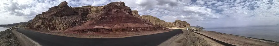
Book an excursion to experience the silent desert beauty of the colored rocks.
A hilltop venue for a slow-paced, relaxing afternoon with sweeping views.
Water temperature…
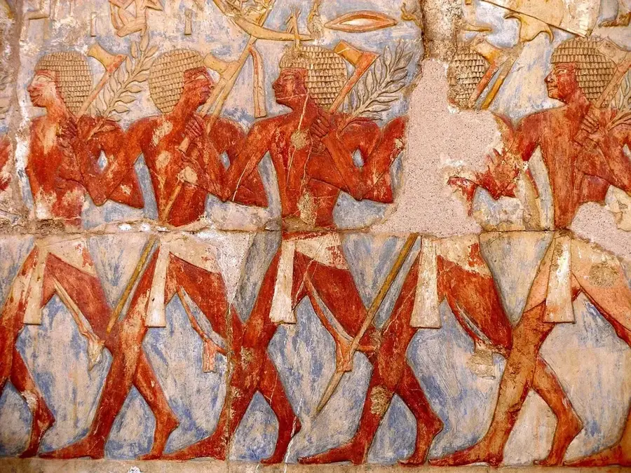
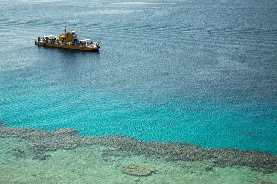
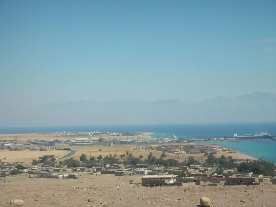
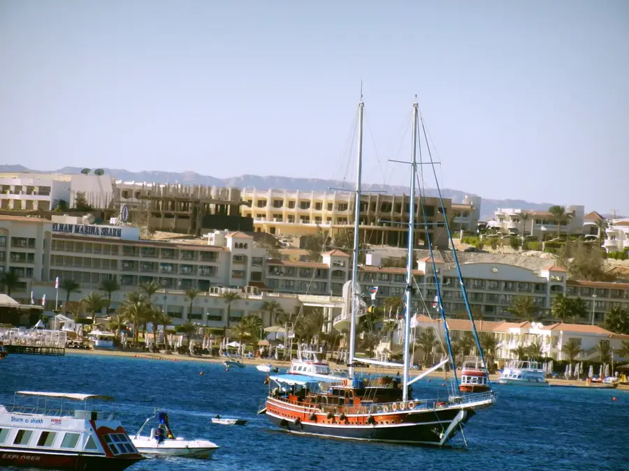
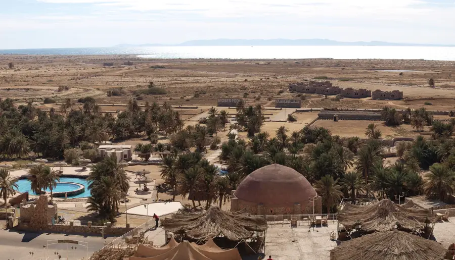
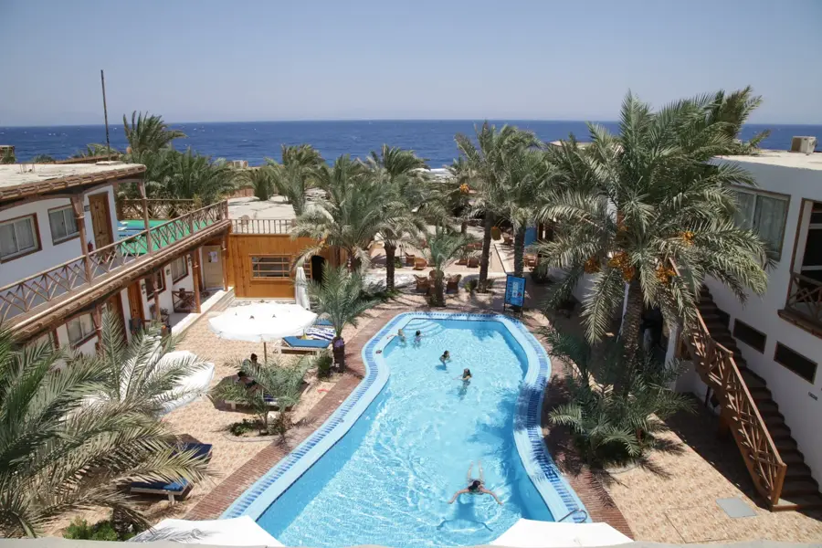
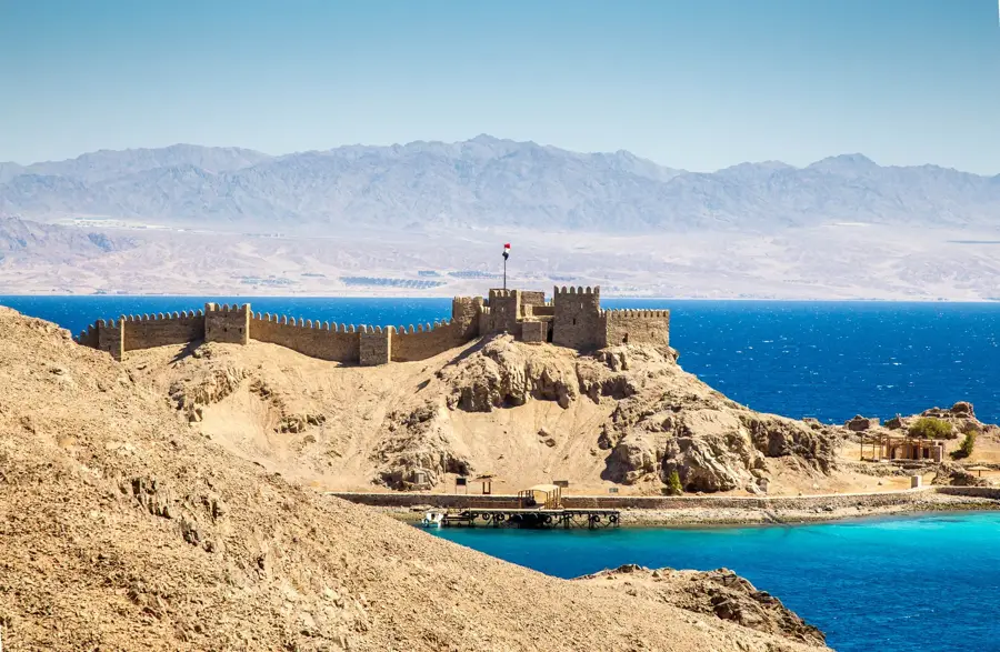
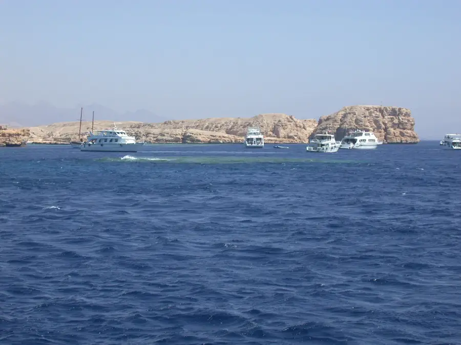
Nuweiba is a port city located on the eastern coast of the Sinai Peninsula along the Gulf of Aqaba. Its name is derived from the Arabic 'Nuwayba'al-Muwayzil,' which translates to 'Moses' bubbling spring.' The city was developed in the 1970s, initially serving as a strategic military outpost before transitioning into a major commercial and passenger port. Today, the Port of Nuweiba is a critical transportation hub, offering regular ferry services connecting Egypt with Aqaba in Jordan. Tourism in Nuweiba is characterized by vast, unspoiled sandy beaches and traditional Bedouin camps that offer a serene alternative to the more commercialized Sinai resorts. The surrounding area features the memorable Colored Canyon, famous for its bustling rock formations shaped by wind and water erosion. The local population primarily consists of members from the Muzeina and Tarabin Bedouin tribes. Geographically, Nuweiba occupies a flat coastal plain set between the rugged Sinai mountain range and the deep blue waters of the Gulf.
- Location: Egypt
- Nearby: Taba Heights (39 km)
Best time to visit & climate
The most pleasant time to visit is Apr, May, Oct.
| Jan | Feb | Mar | Apr | May | Jun | Jul | Aug | Sep | Oct | Nov | Dec | |
|---|---|---|---|---|---|---|---|---|---|---|---|---|
| Avg °C | 10 | 11 | 15 | 19 | 23 | 26 | 28 | 28 | 25 | 22 | 16 | 11 |
| Rain mm | 4 | 5 | 3 | 2 | 0 | 0 | 0 | 0 | 0 | 3 | 2 | 3 |
Geography
Facts
- The name Nuweiba means 'Moses' bubbling spring'
- Key ferry terminal connecting Egypt to Aqaba, Jordan
- Located approximately 70 kilometers south of Taba
- Inhabited mainly by the Muzeina and Tarabin Bedouins
- The Colored Canyon is located about 30 km northwest
- Developed from a small outpost in 1971 to a major port
Explore nearby
Notable places around
Route planner — Car & Motorhome
Where do you start? We build the route here, with stops and country notes along the way.
© OpenStreetMap contributors · OpenRouteService
Sights in the town Nuweiba (1)
Frequently asked questions
Are there ferries from Nuweiba to Jordan?
What is the Colored Canyon?
Are there luxury hotels?
How is the beach?
Is Nuweiba safe?
Nuweiba: where is it located?
Nuweiba: when is the best time to visit?
Nuweiba: why is it worth visiting?

Nearby cities
History & landmarks
More places