Plizio Visual Lab
Tvilum Bakker
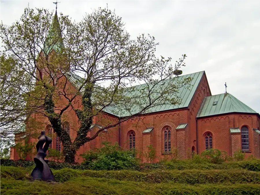
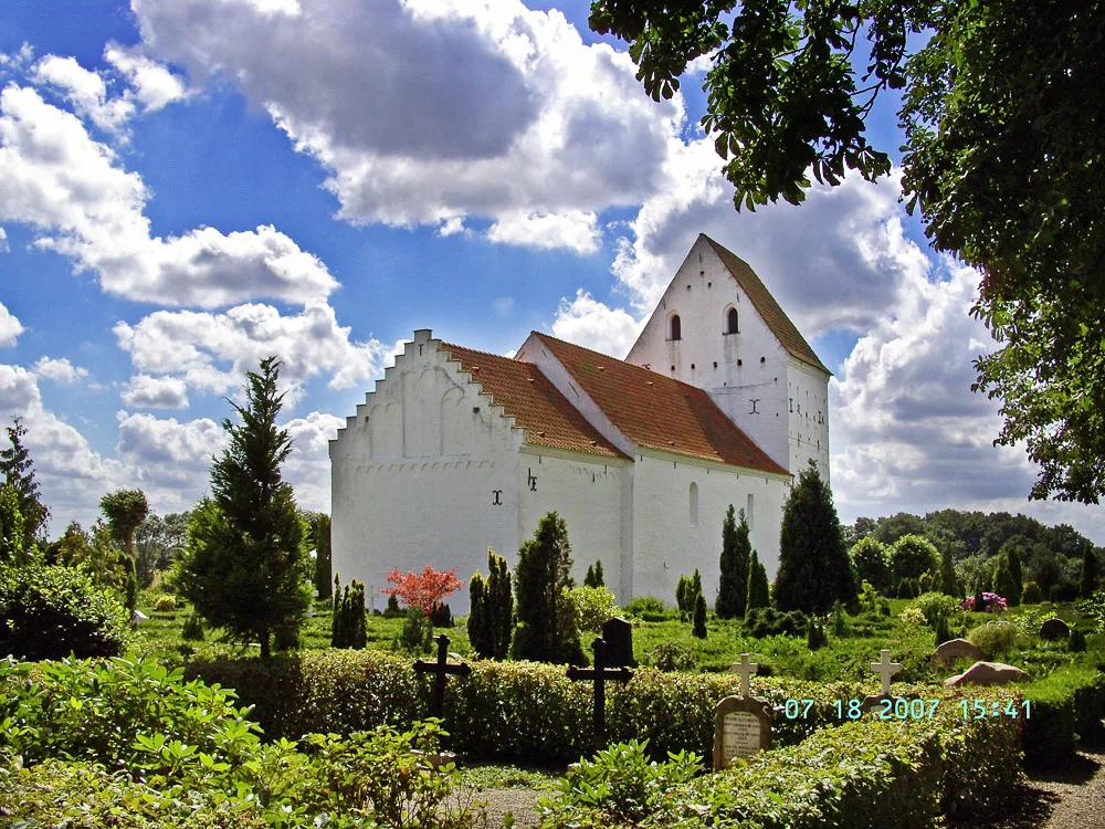
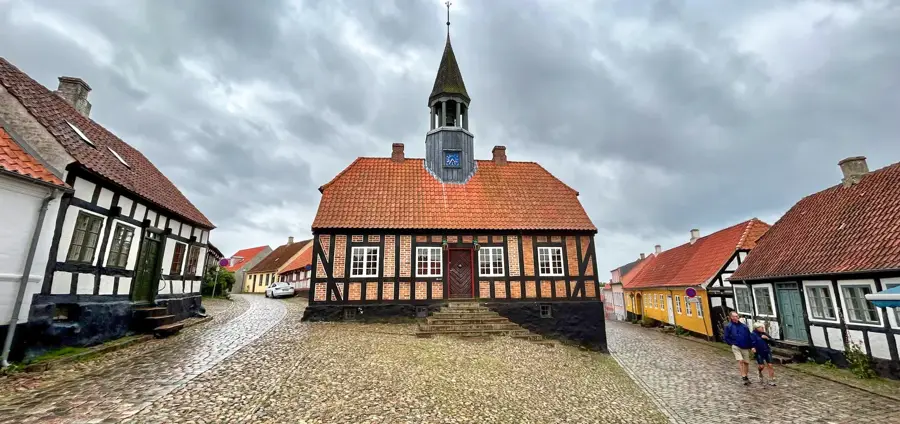
Tvilum Bakker is a distinctive hilly landscape in Central Jutland, stretching along the Gudenå river valley. These formations are the result of glacial processes during the Weichselian ice age, when meltwater currents and ice margins sculpted the terrain. The hills reach elevations of over 50 meters, offering strategic views across Denmark's longest river. Historically, the area is closely linked to the founding of Tvilum Monastery in the 13th century, with Tvilum Church standing as the only surviving structure of the medieval monastic complex. Today, the landscape is characterized by a mix of steep slopes, dense deciduous forests, and open grazing lands. Due to its topographical diversity, Tvilum Bakker serves as a key local recreation area and provides a habitat for specialized flora and fauna in the damp lowlands of the Gudenå. The geological composition of sand and gravel historically favored the extraction of building materials.
- Location: Denmark
- Top sights: Lodnehøje · Brunagerhøj · Doverhøj
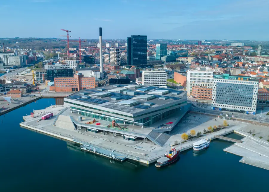
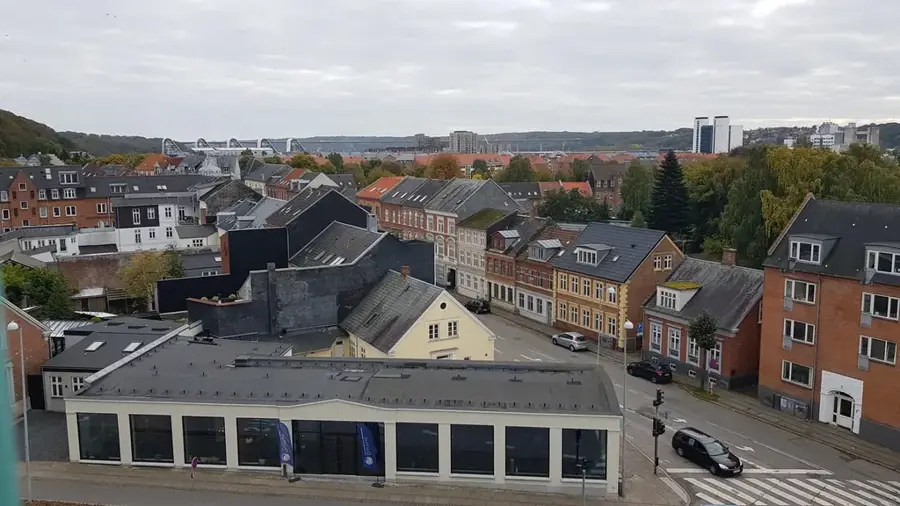
- Nearby: Silkeborg (17 km)
Best time to visit & climate
The most pleasant time to visit is Jun–Aug.
| Jan | Feb | Mar | Apr | May | Jun | Jul | Aug | Sep | Oct | Nov | Dec | |
|---|---|---|---|---|---|---|---|---|---|---|---|---|
| Avg °C | 1 | 1 | 3 | 7 | 11 | 15 | 17 | 17 | 14 | 9 | 5 | 2 |
| Rain mm | 66 | 51 | 47 | 45 | 56 | 77 | 82 | 83 | 67 | 85 | 72 | 67 |
📋 Practical info
Geography
Facts
- Located northeast of Silkeborg in the Gudenå river valley.
- The hills are primarily composed of glacial meltwater deposits.
- Tvilum Monastery was founded around 1250 by Augustinian canons.
- The nearby Tvilum Church contains rare medieval frescoes.
- The terrain is part of a larger nature conservation project along the Gudenå.
- Features hiking trails with panoramic views of the river's bends.
Explore nearby
Notable places around
Route planner — Car & Motorhome
Where do you start? We build the route here, with stops and country notes along the way.
© OpenStreetMap contributors · OpenRouteService
Sights in the town Tvilum Bakker (3)
Sights nearby
Frequently asked questions
Where are the Tvilum Bakker located?
What is the historical sight in Tvilum?
Can you go canoeing there?
What are the hiking trails like in the Bakker?
Are there parking spaces?
Tvilum Bakker: where is it located?
Tvilum Bakker: what is there to see?
Tvilum Bakker: when is the best time to visit?
Tvilum Bakker: why is it worth visiting?

Nearby cities