Plizio Visual Lab
Bambesa
ℹ️Practical info — Bambesa
▾
🌤 Weather — 5 days
📍 Nearby
Sights nearby
💡 Tips
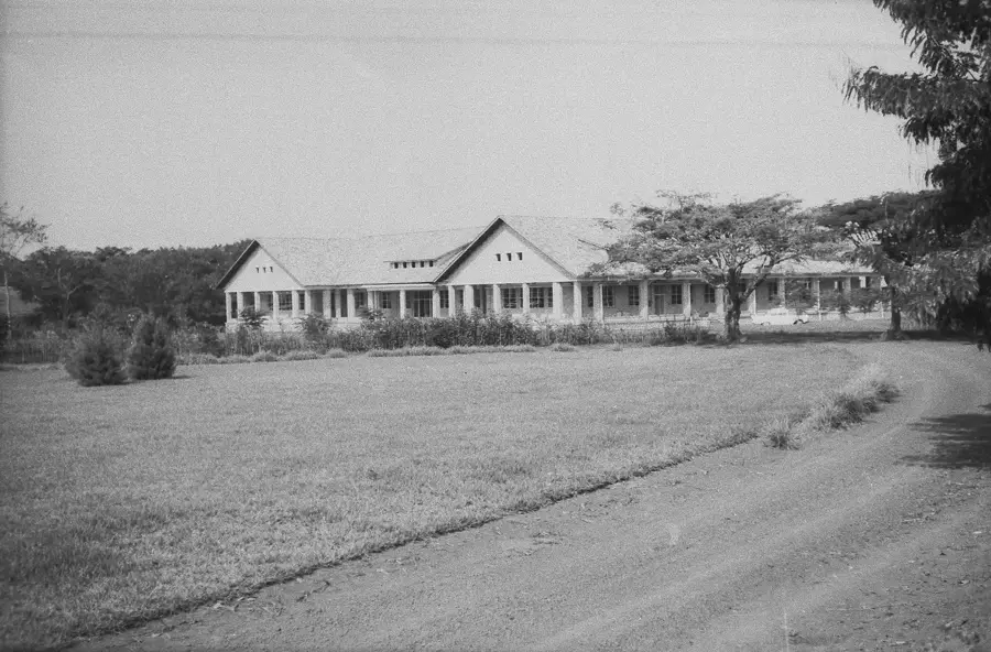
- Visit the historical INERA research station to understand the region's deep colonial agricultural heritage tied to cotton.
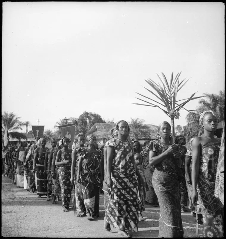
- English and French are rarely spoken here; learning a few basic greetings in Lingala will go a long way in connecting with locals.
- Solar power banks are highly recommended, as the electricity grid in the village is extremely unreliable.
- Carry a comprehensive personal medical kit, because the local health facilities often only provide the most basic care.
🍽 Food
Chicken cooked in a rich, savory palm nut sauce. Ask around at local guesthouses, as it's often made by request.
A classic, protein-rich snack. You can find them sold freshly harvested and roasted at the local markets.
Tightly rolled cassava paste wrapped in leaves, a daily staple carbohydrate meant to be dipped in local sauces.
🛍 Shopping · 🧘 Quiet spots
A good place to purchase cotton goods or other agricultural produce directly from the farmers.
At the central village square, local farmers gather daily to sell freshly harvested vegetables and starchy tubers.
The historical gardens and surviving buildings of the research station offer a deeply peaceful setting for a walk.
Take a stroll along the quiet dirt pathways surrounding the village to take in the slow-paced agricultural atmosphere.
Water temperature…
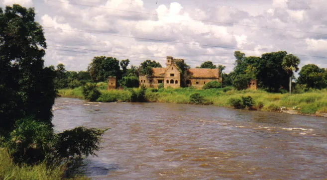
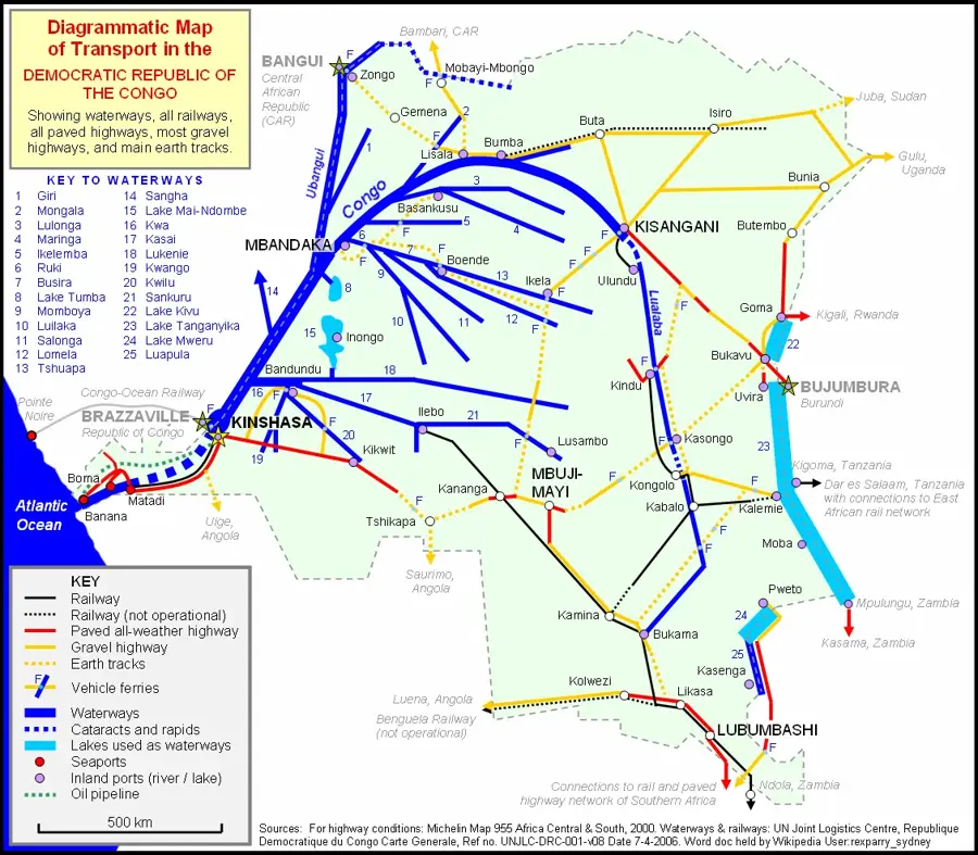
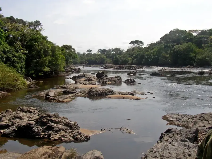
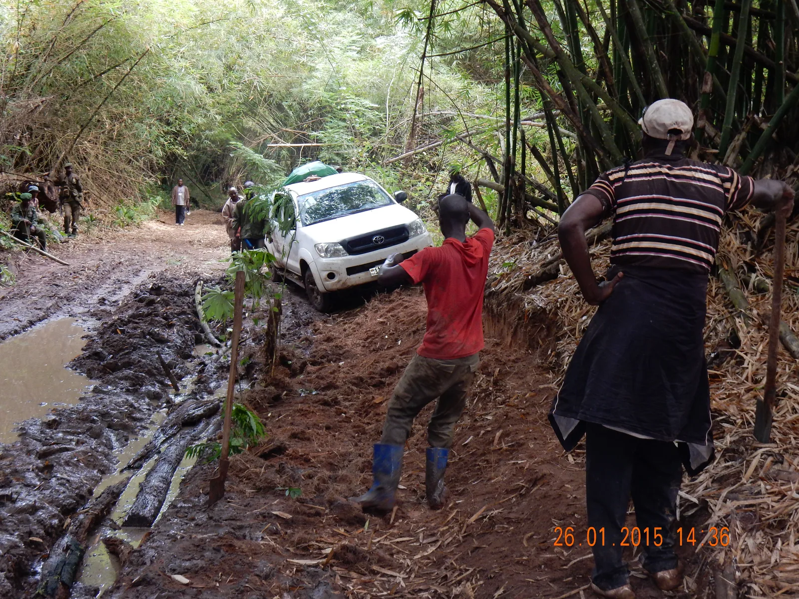
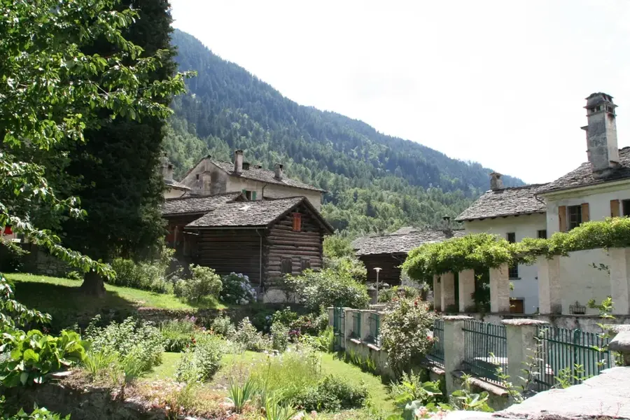
Bambesa is a significant agricultural locality situated in the Bas-Uele Province of northern Democratic Republic of the Congo. The town gained prominence primarily for its role as a center for agricultural research, particularly during the colonial era. It hosted one of the most vital research stations of the National Institute for Agricultural Research (INEAC), which specialized in the breeding and improvement of cotton varieties. The region surrounding Bambesa is characterized by fertile soils and a climate conducive to the cultivation of crops such as cotton, coffee, and staple foodstuffs. Geographically, Bambesa lies within the transition zone between the dense tropical rainforest and the northern savanna. The town was linked to other regional centers via the Vicicongo railway system, although the infrastructure has significantly deteriorated over time. Despite economic hardships, Bambesa remains an important reference point for rural development and the country's agrarian history. The preservation of agricultural traditions and the potential for reviving research make the locality relevant for the future of Congolese agriculture.
Best time to visit & climate
The most pleasant time to visit is Jan, Feb, Dec.
| Jan | Feb | Mar | Apr | May | Jun | Jul | Aug | Sep | Oct | Nov | Dec | |
|---|---|---|---|---|---|---|---|---|---|---|---|---|
| Avg °C | 25 | 26 | 26 | 25 | 25 | 24 | 24 | 24 | 24 | 24 | 24 | 24 |
| Rain mm | 23 | 54 | 131 | 187 | 180 | 157 | 147 | 186 | 186 | 236 | 124 | 33 |
Geography
Facts
- Site of a major INEAC agricultural research station
- Specialized in the breeding of improved cotton varieties
- Located within the Bas-Uele Province of northern DRC
- Connected to the former Vicicongo railway network
- Region is known for its fertile lateritic soils
- Key center for agricultural extension services
Explore nearby
Notable places around
Route planner — Car & Motorhome
Where do you start? We build the route here, with stops and country notes along the way.
© OpenStreetMap contributors · OpenRouteService
Frequently asked questions
Where is Bambesa located?
Why is Bambesa historically known?
How is the access to Bambesa?
What kind of agriculture is practiced in Bambesa?
Is there medical care in Bambesa?
Bambesa: where is it located?
Bambesa: when is the best time to visit?
Bambesa: why is it worth visiting?

Nearby cities
More places