Plizio Visual Lab
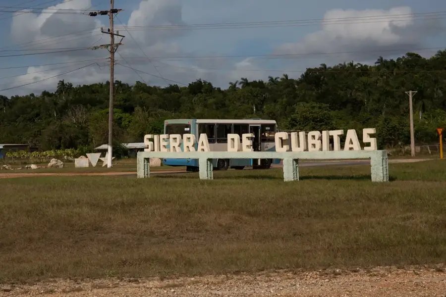
Sierra de Cubitas
Weather…
Water temperature…
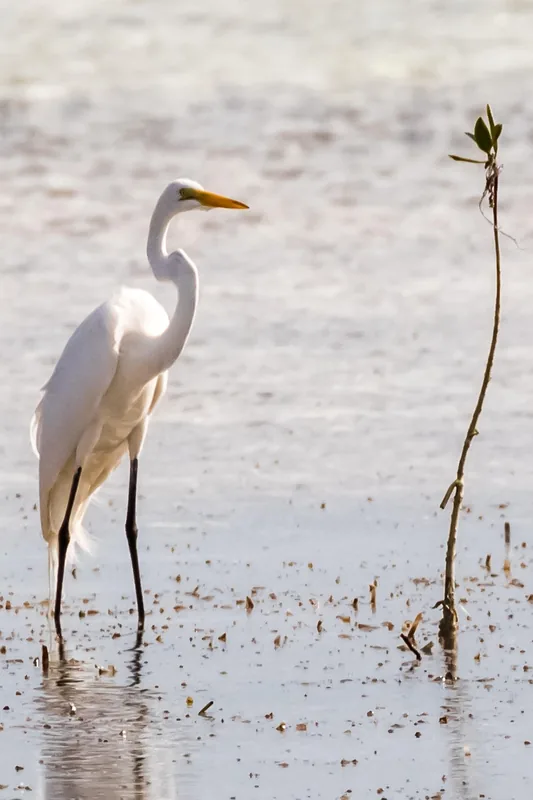
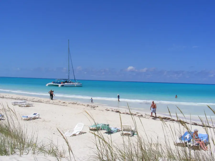
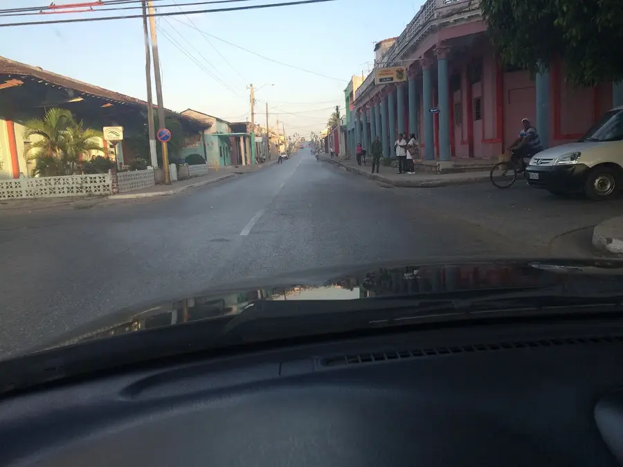
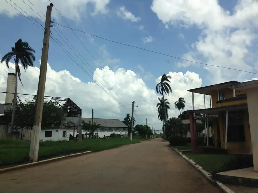
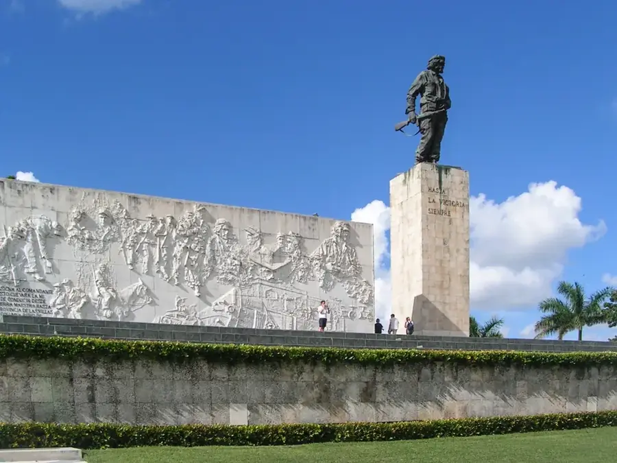
Sierra de Cubitas is a mountain range in the Camagüey province of eastern Cuba. This relief is distinguished by its striking limestone formations, which are part of a significant karst system. One of the most spectacular geological features is the 'Paso de los Paredones', a deep canyon with vertical walls that cuts through the mountains. The Sierra is famous for its numerous caves, such as the Cueva de Maria Teresa, which contains prehistoric pictograms created by the indigenous Taíno people. The vegetation mainly consists of semi-deciduous forests that provide a vital habitat for endemic bird species. Historically, the inaccessible areas of the Sierra served as a refuge for runaway slaves and later for freedom fighters during the wars of independence. Today, the region is an important site for nature tourism and scientific research in the fields of paleontology and archaeology.
- Location: Cuba
- Nearby: Amancio (23 km)
Best time to visit & climate
The most pleasant time to visit is Jan, Feb, Dec.
| Jan | Feb | Mar | Apr | May | Jun | Jul | Aug | Sep | Oct | Nov | Dec | |
|---|---|---|---|---|---|---|---|---|---|---|---|---|
| Avg °C | 24 | 25 | 25 | 27 | 27 | 28 | 28 | 28 | 28 | 27 | 25 | 24 |
| Rain mm | 21 | 23 | 42 | 57 | 149 | 170 | 90 | 137 | 146 | 140 | 53 | 25 |
📋 Practical info
Geography
Facts
- The Sierra de Cubitas extends for a length of approximately 60 kilometers.
- The highest point in the range is about 260 meters above sea level.
- More than 300 indigenous pictograms have been discovered in its caves.
- The Paso de los Paredones canyon is approximately 2 kilometers long.
- The region is home to one of the largest colonies of the Cuban Parakeet.
- Geologically, the range consists of limestone layers from the Cretaceous period.
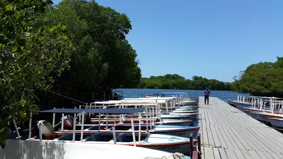
Explore nearby
Notable places around
Route planner — Car & Motorhome
Where do you start? We build the route here, with stops and country notes along the way.
© OpenStreetMap contributors · OpenRouteService
Sights nearby
Frequently asked questions
Where is Sierra de Cubitas located?
Are there caves in these mountains?
What is the 'Paso de los Paredones'?
What birds can be spotted here?
Is the mountain range suitable for ecotourism?
Sierra de Cubitas: where is it located?
Sierra de Cubitas: when is the best time to visit?
Sierra de Cubitas: why is it worth visiting?

Nearby cities

History & landmarks
Nature
More places