Plizio Visual Lab
Velika Kapela
Weather…
Water temperature…
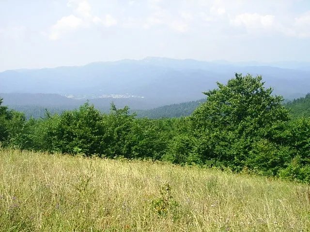
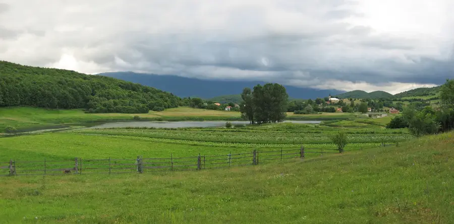
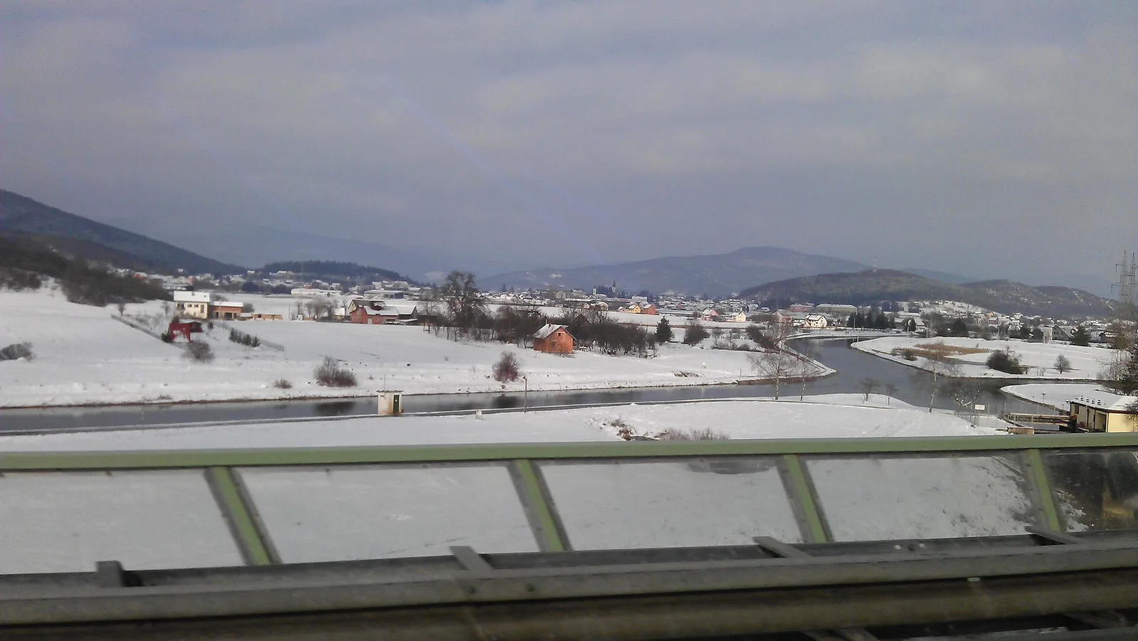
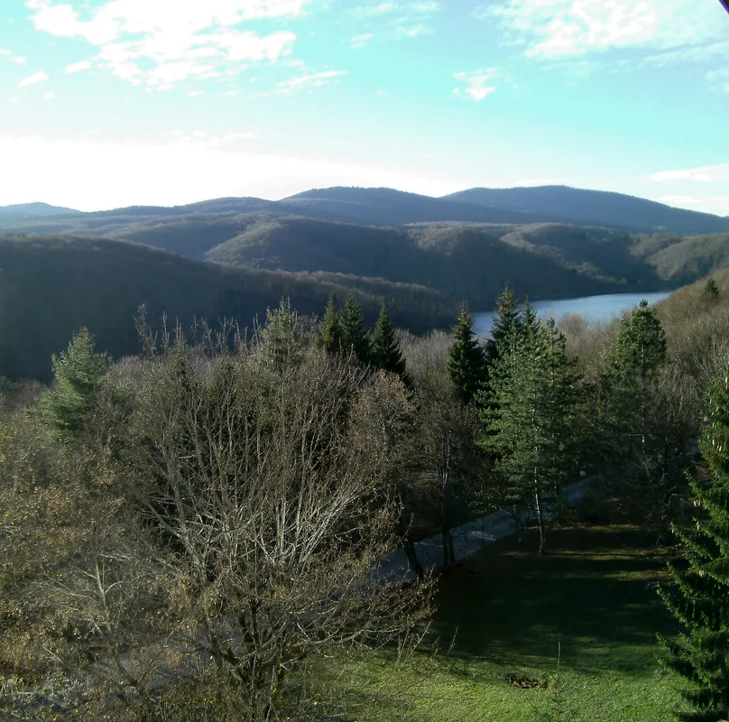
Velika Kapela is an extensive mountain massif in Croatia that connects the regions of Gorski Kotar, Lika, and the Croatian Littoral. As a major part of the Dinaric Alps, it stretches from Gorski Kotar in the northwest to Mala Kapela in the southeast. The highest peak of the massif is Bjelolasica, with its Kula summit reaching 1,534 meters, which also serves as a significant center for winter sports. The area is defined by dense coniferous and beech forests and exceptional karst features, including the Bijele and Samarske stijene rock formations, designated as a strict nature reserve. Climatically, Velika Kapela acts as a barrier between the continental interior and the Mediterranean coast, leading to high levels of snowfall and rain. Historically a strategic mountain pass, it is now traversed by modern tunnels of the A1 highway, facilitating rapid transit through the range.
- Location: Croatia
- Nearby: Sibinj Krmpotski (11 km)
📋 Practical info
Geography
Facts
- Highest peak: Bjelolasica (Kula) at 1,534 meters.
- Home to the Bijele and Samarske stijene strict reserve.
- Major climatic divide between the Adriatic and mainland.
- Part of the extensive Dinarides mountain system.
- Known for one of the densest bear populations in Croatia.
- Historical crossing point between the coast and Lika region.
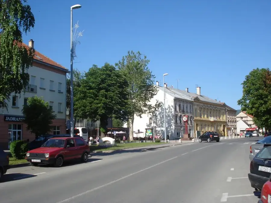
Explore nearby
Notable places around
Route planner — Car & Motorhome
Where do you start? We build the route here, with stops and country notes along the way.
© OpenStreetMap contributors · OpenRouteService
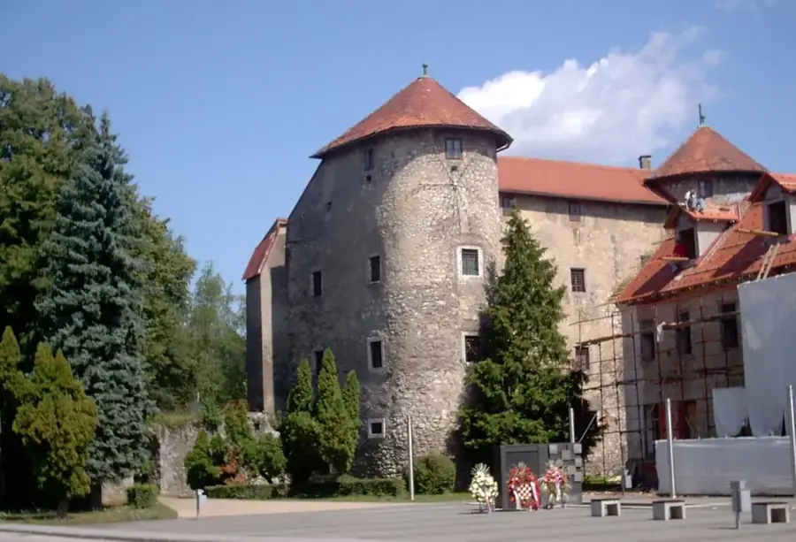
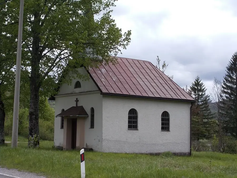
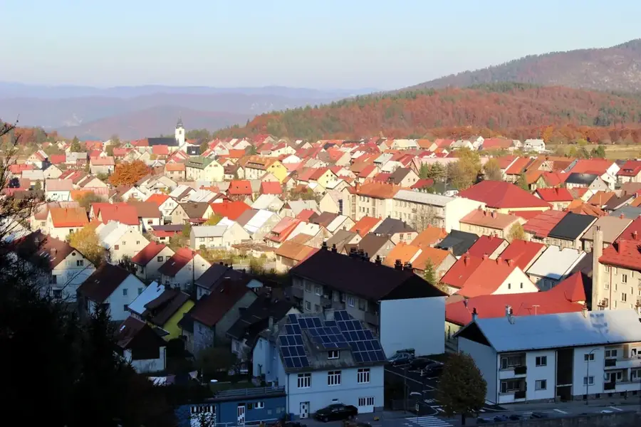
Sights in the town Velika Kapela (1)
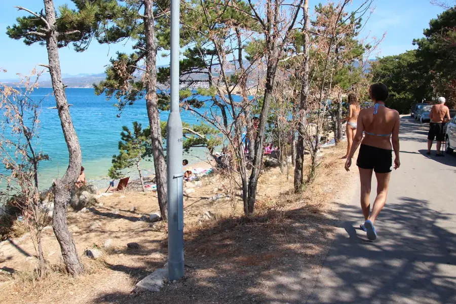
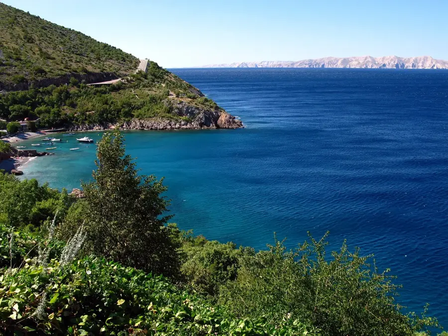
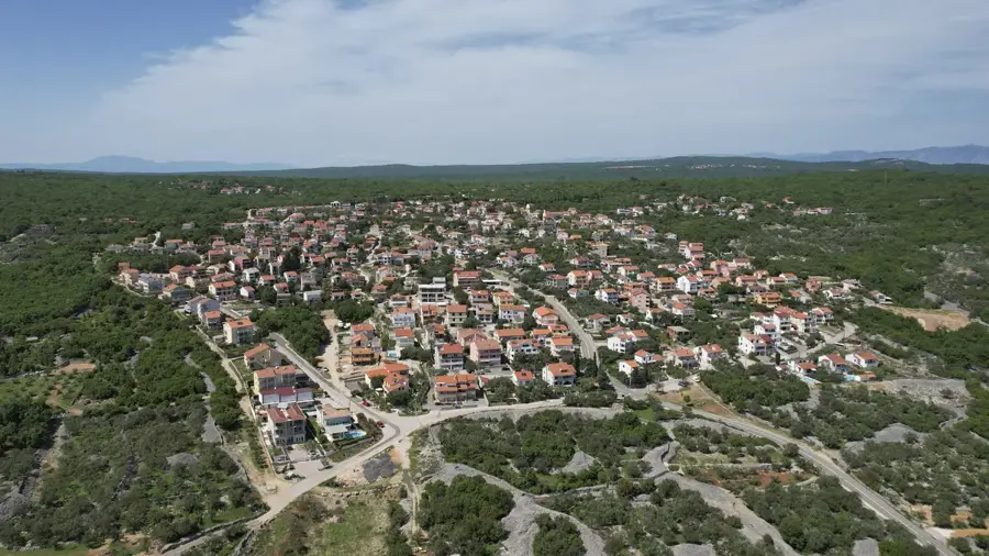
Sights nearby
Frequently asked questions
Where is Velika Kapela located?
What are Bijele and Samarske stijene?
How high is the highest peak?
Are there bears there?
Is the region developed for tourism?
Velika Kapela: where is it located?
Velika Kapela: why is it worth visiting?

Nearby cities