Plizio Visual Lab
Abou Telfane Massif
Weather…
Water temperature…
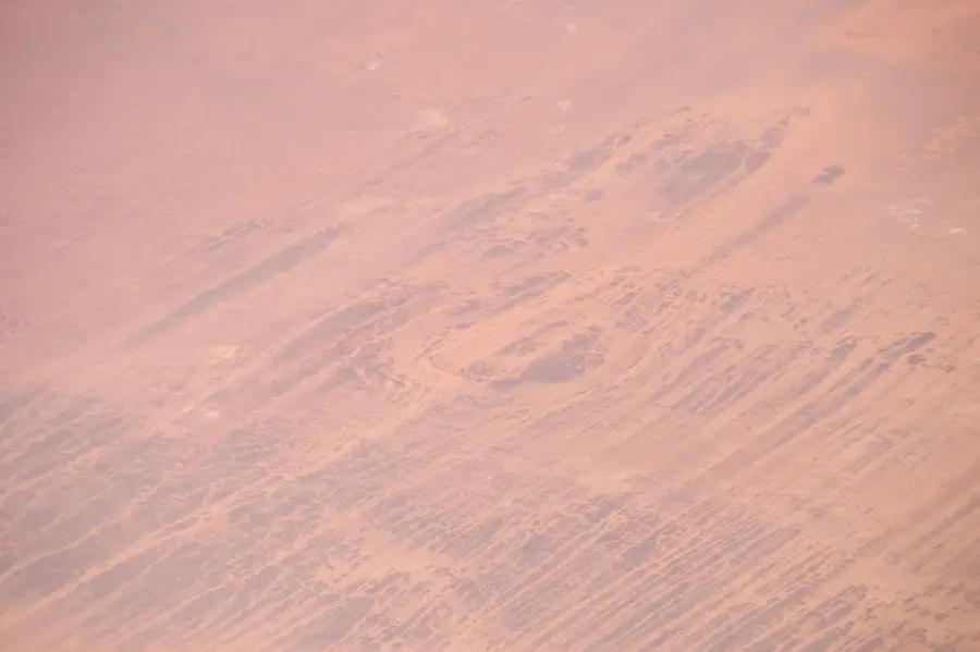
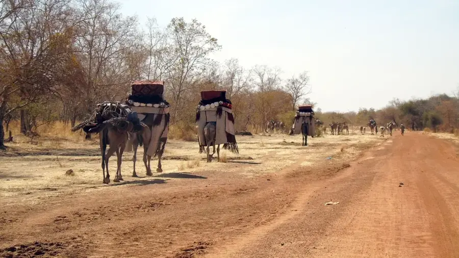
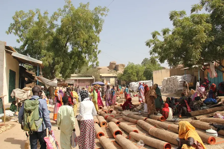
The Abou Telfane Massif is a prominent granitic mountain range located in the south-central Guéra Region of Chad. Rising to elevations of approximately 1,500 meters above sea level, it stands as a significant topographical feature in an otherwise relatively flat sahelian landscape. The massif is part of the Precambrian basement complex of central Africa, composed primarily of crystalline rocks that have withstood millions of years of erosion. Due to its height, the range experiences a slightly higher precipitation rate than the surrounding plains, making it a vital water catchment area for the local environment. Numerous wadis originate from its slopes, providing necessary moisture for seasonal agriculture and livestock in the valleys below. Historically, the rugged terrain has served as a natural fortress for local populations during periods of regional conflict. Today, it remains a critical ecological zone, hosting various species of flora and fauna adapted to the rocky montane conditions. The massif also plays a role in the local cultural identity of the Guéra people.
- Location: Chad
- Top sights: Guéra (department) · Guéra (province) · Mongo, Chad
- Nearby: Bitkine (25 km)
Best time to visit & climate
The most pleasant time to visit is Jan, Nov, Dec.
| Jan | Feb | Mar | Apr | May | Jun | Jul | Aug | Sep | Oct | Nov | Dec | |
|---|---|---|---|---|---|---|---|---|---|---|---|---|
| Avg °C | 25 | 28 | 31 | 33 | 33 | 30 | 27 | 25 | 26 | 27 | 26 | 25 |
| Rain mm | 0 | 0 | 1 | 7 | 34 | 87 | 181 | 249 | 134 | 42 | 0 | 0 |
📋 Practical info
Geography
Facts
- The highest peaks reach an elevation of about 1,500 meters above sea level.
- It is located in the Guéra Region, north of the town of Mongo.
- The massif is primarily composed of ancient Precambrian granite.
- The mountain range extends for a length of approximately 120 kilometers.
- It functions as a significant water catchment for the surrounding sahel.
- Rugged terrain provided defensive positions for local tribes historically.
Explore nearby
Notable places around
Route planner — Car & Motorhome
Where do you start? We build the route here, with stops and country notes along the way.
© OpenStreetMap contributors · OpenRouteService
Sights in the town Abou Telfane Massif (3)
Sights nearby
Frequently asked questions
What is the Abou-Telfane Massif?
Can the rock paintings there be visited?
How does one reach the massif?
Is there tourist infrastructure?
When is the safest travel time?
Abou Telfane Massif: where is it located?
Abou Telfane Massif: what is there to see?
Abou Telfane Massif: when is the best time to visit?
Abou Telfane Massif: why is it worth visiting?

Nearby cities
More places