Plizio Visual Lab
Ati
ℹ️Practical info — Ati
▾
🌤 Weather — 5 days
📍 Nearby
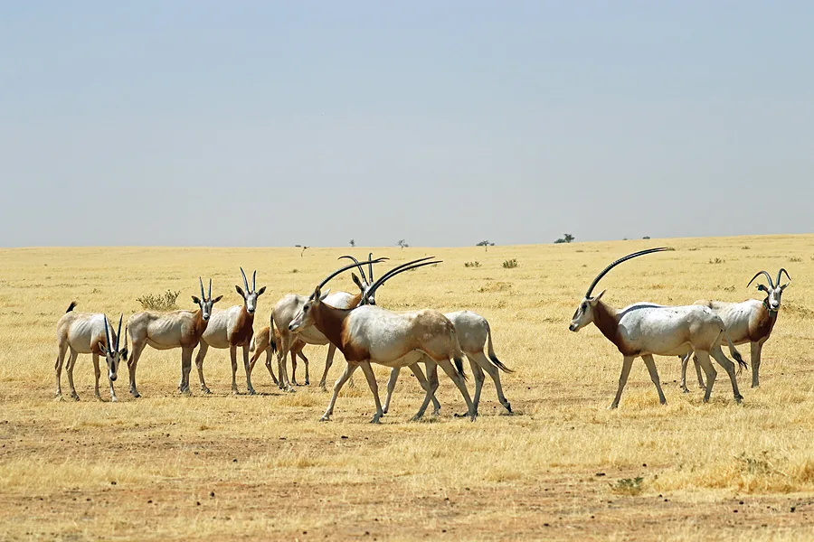
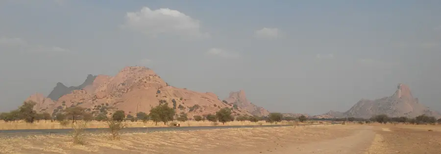
Sights nearby
💡 Tips
- Plan your activities for early morning or late afternoon to avoid the extreme daytime heat.
- Always dress very modestly out of respect for the deeply conservative local culture.
- Politely ask for permission before taking photographs of people in the markets.
- Always inquire about the current road conditions before traveling, especially after rain.
🍽 Food
A traditional millet porridge usually served with a savory meat sauce at local eateries.
Tender, spiced meat cooked fresh in the evenings at small street food stalls.
Strong, heavily sweetened tea served in small glasses as a sign of hospitality.
🛍 Shopping · 🧘 Quiet spots
The main market has basic traditional textiles and fabrics from the region.
Handmade local pottery that is commonly sold for practical everyday household use.
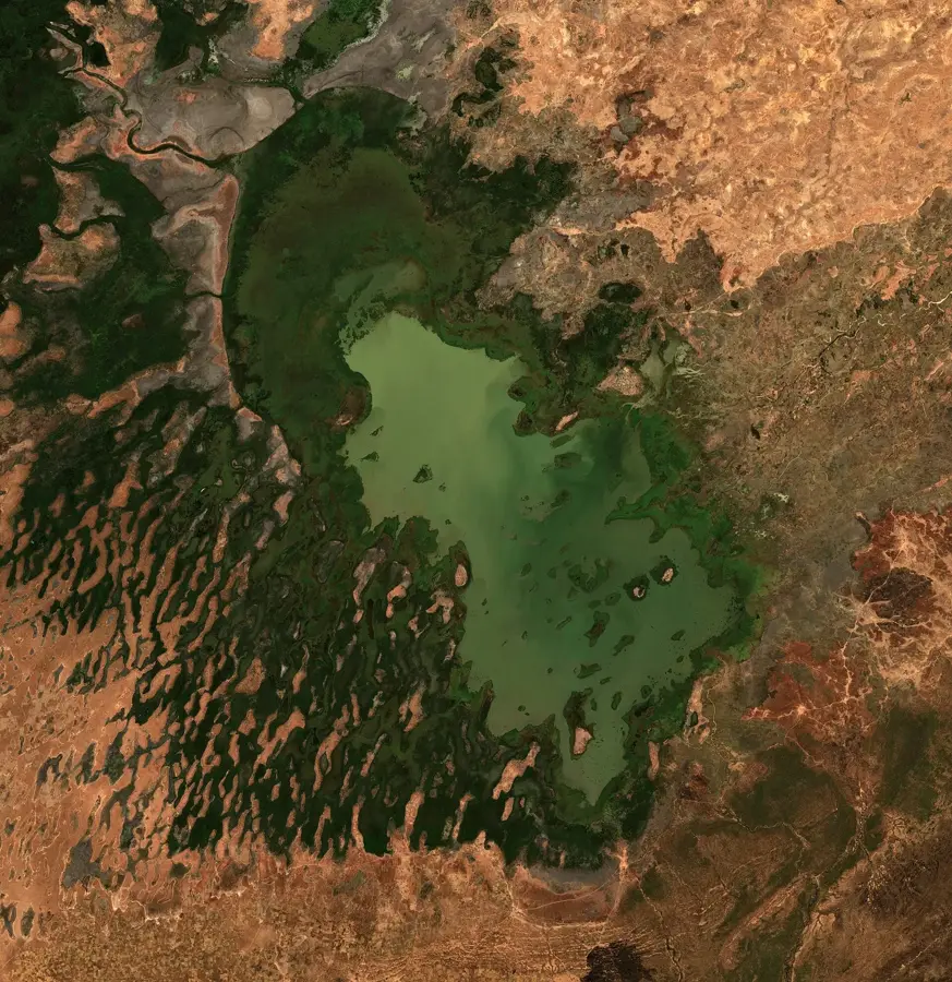
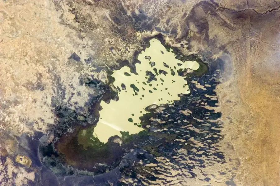
When the river flows, the banks provide a relaxing escape from the busy market streets.
The sandy edges of the town offer an impressive, deep silence in the evening.
Water temperature…
Ati is the capital of the Batha region and is situated in the geographical heart of Chad along the banks of the seasonal Batha River. The city serves as a critical junction in the national transportation network, linking the capital N'Djamena with the eastern parts of the country. Historically, Ati gained prominence during the Chadian Civil War, most notably for the significant Battle of Ati in 1978, which played a decisive role in the conflict's progression. Geographically, the area is characterized by a semi-arid Sahelian climate, with the local economy heavily reliant on livestock rearing and the trade of agricultural commodities. With a population of approximately 25,000 residents, the city hosts a regional airport and functions as the administrative center for the surrounding province. Despite the challenging climatic conditions, Ati remains a vital location for interregional exchange and government administration. The development of urban infrastructure is bolstered by its strategic position on major national roads, ensuring the city's long-term economic relevance.
- Location: Chad
- Top sights: Ati, Chad · Batha (region) · Batha (prefecture)
- Population: ~29.867 (2026)
Best time to visit & climate
The most pleasant time to visit is Jan, Nov, Dec.
| Jan | Feb | Mar | Apr | May | Jun | Jul | Aug | Sep | Oct | Nov | Dec | |
|---|---|---|---|---|---|---|---|---|---|---|---|---|
| Avg °C | 24 | 28 | 31 | 34 | 35 | 33 | 29 | 27 | 27 | 29 | 27 | 25 |
| Rain mm | 0 | 0 | 0 | 2 | 16 | 49 | 156 | 251 | 80 | 18 | 0 | 0 |
Geography
Facts
- Capital city of the Batha region in central Chad.
- Located on the banks of the seasonal Batha River.
- Site of a major battle during the civil war in 1978.
- Population is estimated at around 25,000 residents.
- Equipped with a regional airstrip for domestic transport.
- Strategic junction on the National Highway 1.
Explore nearby
Notable places around
Route planner — Car & Motorhome
Where do you start? We build the route here, with stops and country notes along the way.
© OpenStreetMap contributors · OpenRouteService
Sights in the town Ati (3)
Frequently asked questions
Where is Ati located?
What can you see in Ati?
How are the people?
What is important for the visit?
Is water available?
Ati: where is it located?
Ati: what is there to see?
Ati: when is the best time to visit?
Ati: why is it worth visiting?

Nearby cities

Nature
More places