Plizio Visual Lab
Mont Kanza
Weather…
Water temperature…
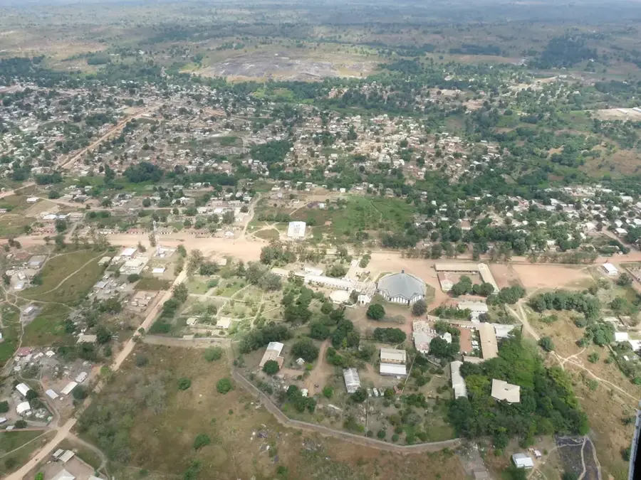
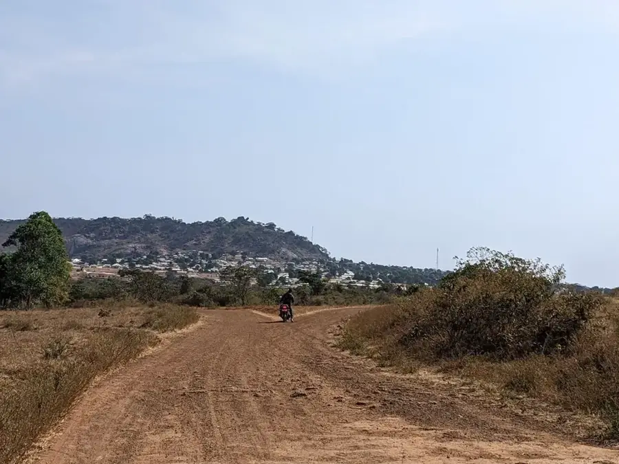
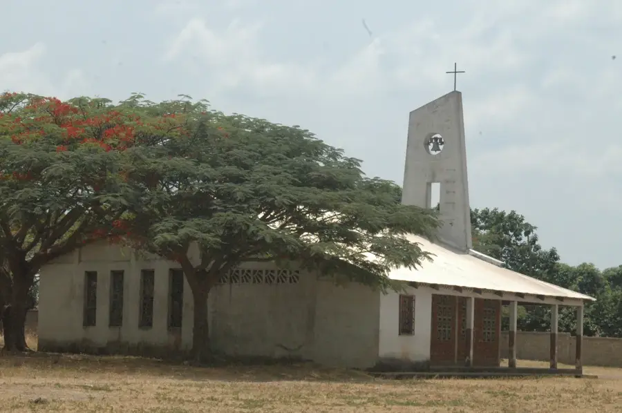
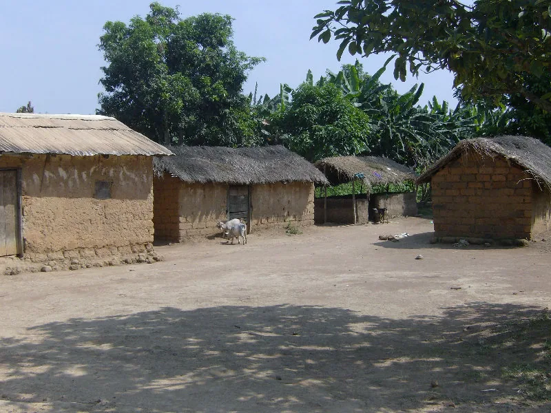
Mont Kanza is a prominent peak within the hilly landscape of the Central African Republic, situated in a region defined by dense vegetation and complex geological formations. This mountain is part of a larger range that serves as a watershed between various river systems. The geographical position of Mont Kanza makes it a significant ecological refuge, as its elevation fosters a cooler climate that contrasts sharply with the hot surrounding plains. The slopes are frequently covered in primary forest, exhibiting a high density of endemic plant species. Historically, Mont Kanza held importance for local tribes and early explorers due to its strategic oversight of the surrounding terrain. Geologically, metamorphic rocks dating back to the Precambrian era dominate, ensuring the stability of this mountain massif. Reaching the summit is challenging due to the thick undergrowth and steep paths, which has ultimately contributed to the preservation of its pristine natural state. In terms of regional meteorology, the mountain plays a role by inducing orographic rainfall that provides essential moisture to the adjacent valleys.
- Location: Central African Republic
- Nearby: Bouar (24 km)
Best time to visit & climate
The most pleasant time to visit is Jan, Nov, Dec.
| Jan | Feb | Mar | Apr | May | Jun | Jul | Aug | Sep | Oct | Nov | Dec | |
|---|---|---|---|---|---|---|---|---|---|---|---|---|
| Avg °C | 25 | 27 | 28 | 27 | 26 | 24 | 23 | 23 | 23 | 23 | 24 | 24 |
| Rain mm | 3 | 16 | 90 | 103 | 134 | 166 | 251 | 252 | 269 | 182 | 27 | 3 |
📋 Practical info
Geography
Facts
- Part of a mountain range that functions as a significant watershed.
- Geologically composed mainly of Precambrian metamorphic rocks.
- Serves as a key site for the protection of mountain rainforest biodiversity.
- Induces orographic rainfall that benefits local agricultural activities.
- The elevation provides a significantly cooler climate than the lowlands.
- Difficult access paths have largely preserved its pristine natural state.
Explore nearby
Notable places around
Route planner — Car & Motorhome
Where do you start? We build the route here, with stops and country notes along the way.
© OpenStreetMap contributors · OpenRouteService
Sights nearby
Frequently asked questions
Can you reach the summit?
How is the weather on the mountain?
Are there marked hiking trails?
When should one start the hike?
Is there accommodation nearby?
Mont Kanza: where is it located?
Mont Kanza: when is the best time to visit?
Mont Kanza: why is it worth visiting?

Nearby cities
More places