Plizio Visual Lab
Sal
Weather…
Water temperature…
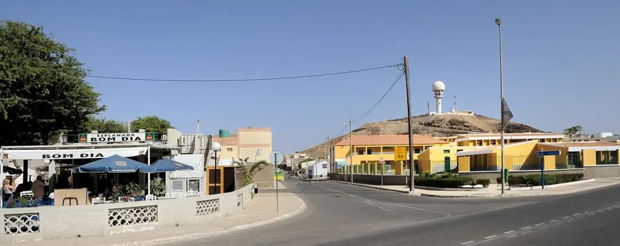
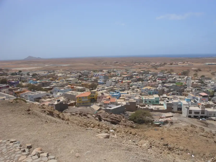
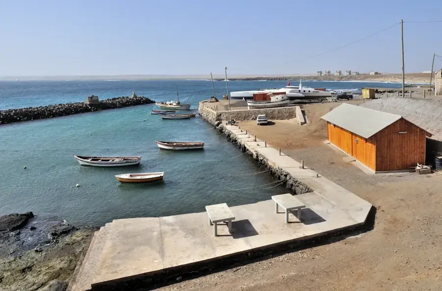
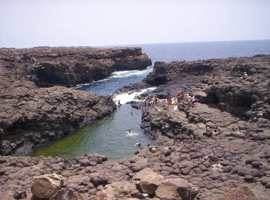
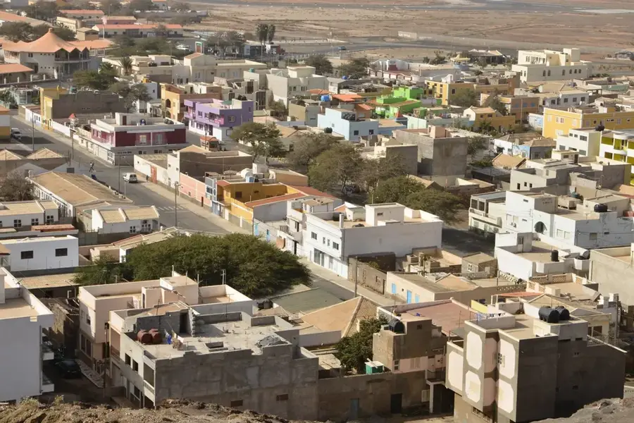
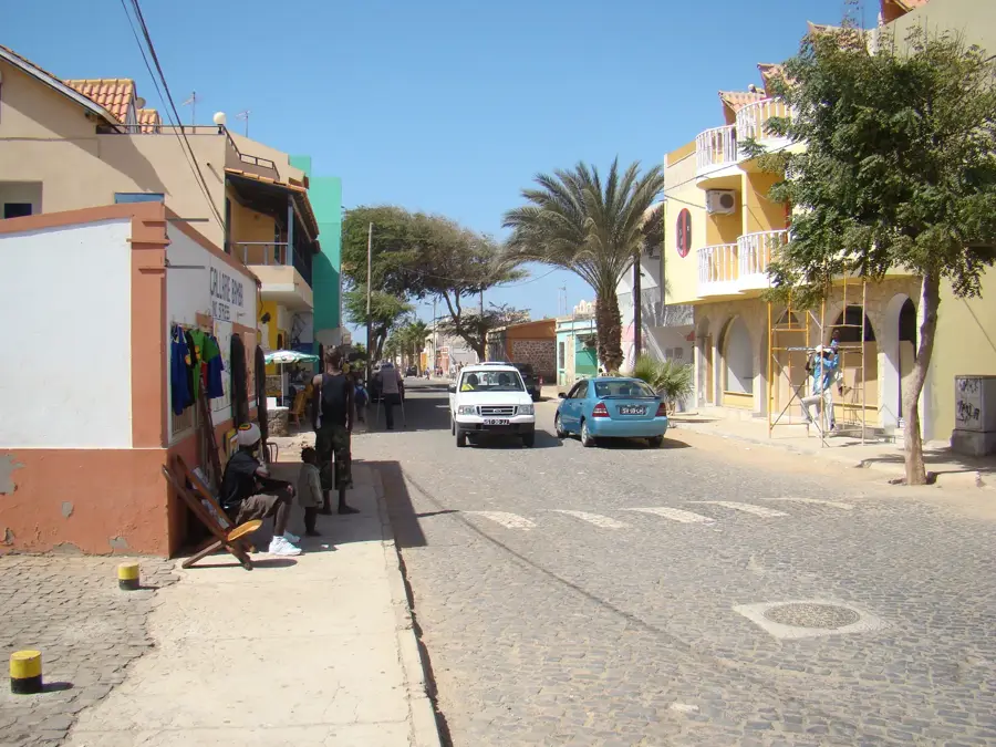
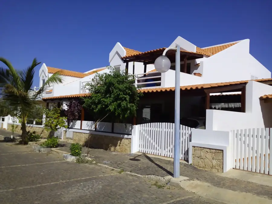
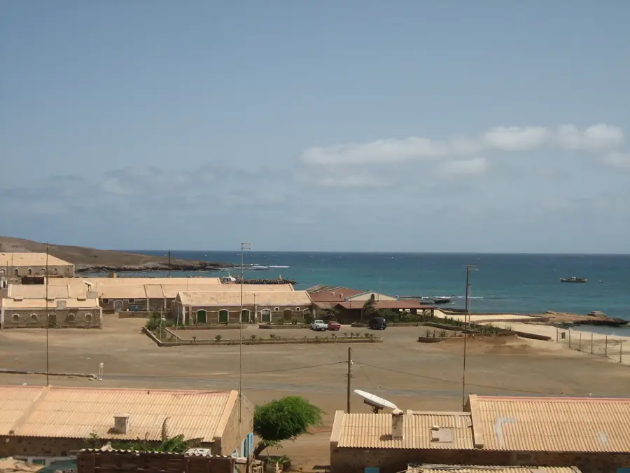
Sal is one of the geologically oldest islands of Cape Verde, characterized by an extremely flat, desert-like relief. Originally called Lhana (Flat), the island was renamed Sal following the 18th-century discovery of rich salt deposits at Pedra de Lume. The landscape is dominated by vast sandy plains and barren terrains, with Monte Grande serving as the highest point at 406 meters. The climate is tropical-arid with minimal rainfall, making the island a premier destination for sun tourism. Unique natural phenomena such as the 'Blue Eye' at Buracona, a natural sea cave, attract visitors from around the world. The island has played a pivotal role in the region's international air traffic since the first airport was constructed in 1939. Sal's coastlines are globally renowned for their windsurfing and kitesurfing conditions, particularly at Ponta Preta. Despite the dryness, specialized ecosystems exist within the salt pans and along the beaches, which serve as vital nesting grounds for sea turtles. The economic transformation from salt mining to a leading tourism hub has significantly reshaped the island's identity over the last few decades.
- Location: Cape Verde
- Nearby: Murdeira (5 km)
Best time to visit & climate
The most pleasant time to visit is Feb–Apr.
| Jan | Feb | Mar | Apr | May | Jun | Jul | Aug | Sep | Oct | Nov | Dec | |
|---|---|---|---|---|---|---|---|---|---|---|---|---|
| Avg °C | 22 | 21 | 21 | 22 | 22 | 23 | 24 | 26 | 27 | 26 | 25 | 24 |
| Rain mm | 23 | 23 | 7 | 6 | 5 | 4 | 7 | 34 | 50 | 26 | 27 | 33 |
📋 Practical info
Geography
Facts
- Sal island is approximately 30 km long and 12 km wide.
- Monte Grande is the highest peak on the island at 406 meters.
- The Amílcar Cabral International Airport was opened in 1939.
- Sal enjoys approximately 350 sunny days per calendar year.
- The island was formed approximately 50 million years ago.
- Santa Maria in the south is the primary tourism hub of the island.
Explore nearby
Notable places around
Route planner — Car & Motorhome
Where do you start? We build the route here, with stops and country notes along the way.
© OpenStreetMap contributors · OpenRouteService
Sights in the town Sal (1)
Sights nearby
Frequently asked questions
Why is the island called Sal?
What can you do on Sal besides a beach holiday?
Is Sal windy?
Is there vegetation on Sal?
Where do most tourists stay?
Sal: where is it located?
Sal: when is the best time to visit?
Sal: why is it worth visiting?

Nearby cities
History & landmarks

Nature
More places