Plizio Visual Lab
Monte Tortolho
Weather…
Water temperature…
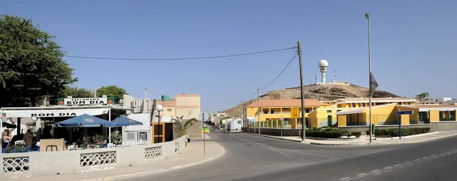
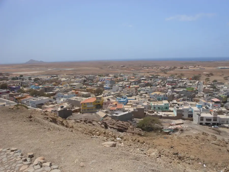
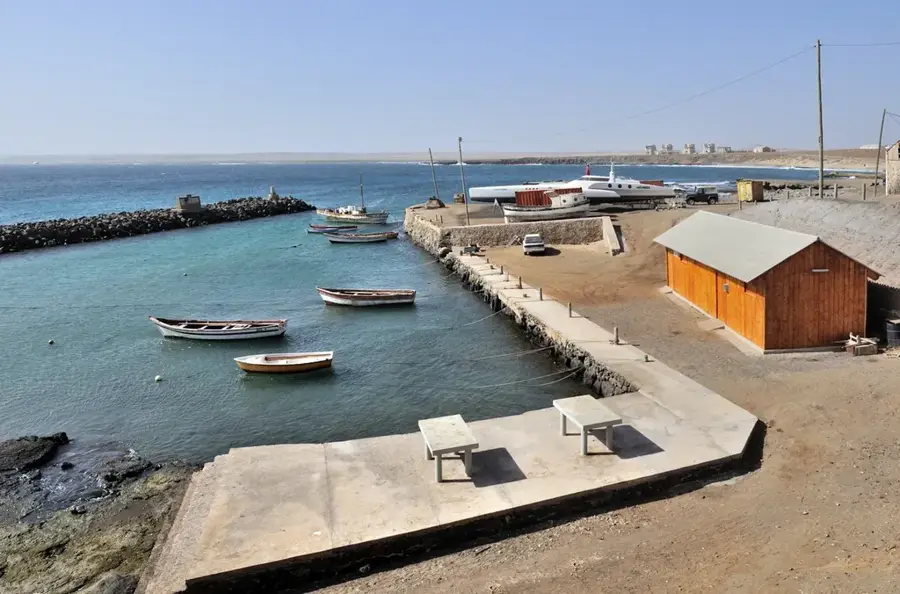
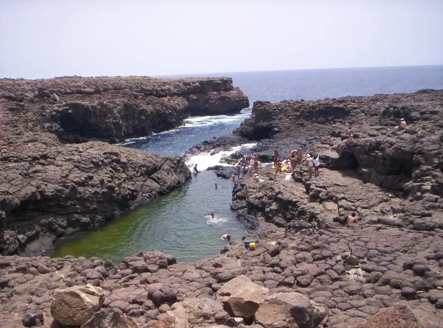
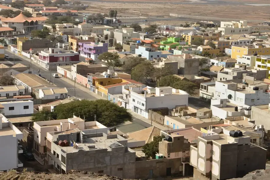
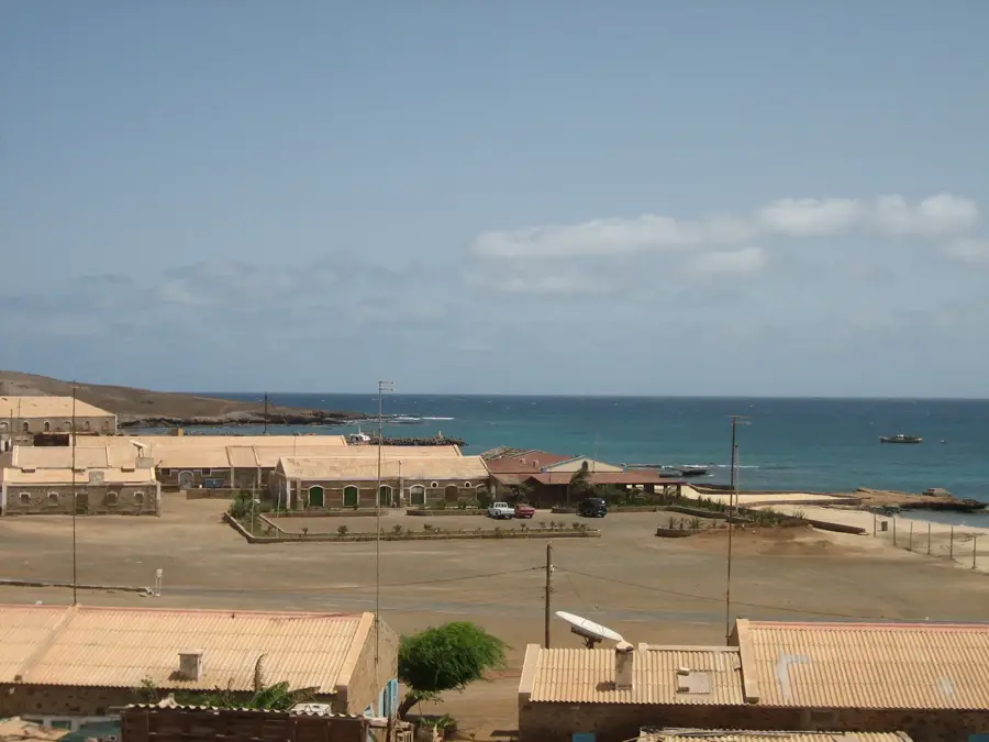
Monte Tortolho is a small but prominent elevation on the island of Sal in Cape Verde, reaching a height of approximately 124 meters above sea level. Located in the south-central part of the island, it sits between the Amílcar Cabral International Airport and the coastal town of Santa Maria. Despite its modest height, Monte Tortolho stands out against Sal's flat coastal plains, serving as a notable landmark in the barren, desert-like interior. Geologically, it is a remnant of ancient volcanic activity, composed of weathered basaltic rocks and volcanic debris that have been exposed to the elements for millions of years. The surface is characterized by loose stones and aeolian sand deposits, which are constantly shifted by the island's strong trade winds. Vegetation on the hill is minimal due to the hyper-arid climate, consisting mainly of resilient grasses and lichens. Historically, the elevation may have been used as a vantage point to monitor the coast and the nearby salt evaporation ponds. Today, it is a popular destination for quad bike tours and hikers seeking a panoramic view of the island's southern beaches and the Atlantic Ocean. Its geological structure gives insights into the long-term erosional processes that have shaped Sal, one of the oldest islands in the archipelago.
- Location: Cape Verde
- Nearby: Murdeira (5 km)
Best time to visit & climate
The most pleasant time to visit is Feb–Apr.
| Jan | Feb | Mar | Apr | May | Jun | Jul | Aug | Sep | Oct | Nov | Dec | |
|---|---|---|---|---|---|---|---|---|---|---|---|---|
| Avg °C | 22 | 21 | 21 | 22 | 22 | 23 | 24 | 26 | 27 | 26 | 25 | 24 |
| Rain mm | 23 | 23 | 7 | 6 | 5 | 4 | 7 | 34 | 50 | 26 | 27 | 33 |
📋 Practical info
Geography
Facts
- The peak stands at an elevation of 124 meters (407 feet).
- It is a key navigational landmark for the southern half of Sal Island.
- The hill was formed during the Miocene epoch by volcanic events.
- The surrounding landscape is often compared to a lunar surface.
- Low rainfall and high winds prevent the growth of substantial vegetation.
- It is a frequent stop for guided off-road excursions on the island.
Explore nearby
Notable places around
Route planner — Car & Motorhome
Where do you start? We build the route here, with stops and country notes along the way.
© OpenStreetMap contributors · OpenRouteService
Sights in the town Monte Tortolho (1)
Sights nearby
Frequently asked questions
What is Monte Tortolho?
Is it easy to climb?
What can you see from above?
How do you get there?
Is there shade there?
Monte Tortolho: where is it located?
Monte Tortolho: when is the best time to visit?
Monte Tortolho: why is it worth visiting?

Nearby cities
History & landmarks

Nature
More places