Plizio Visual Lab
Monte Curral
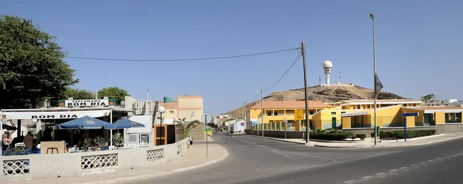
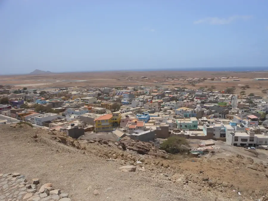
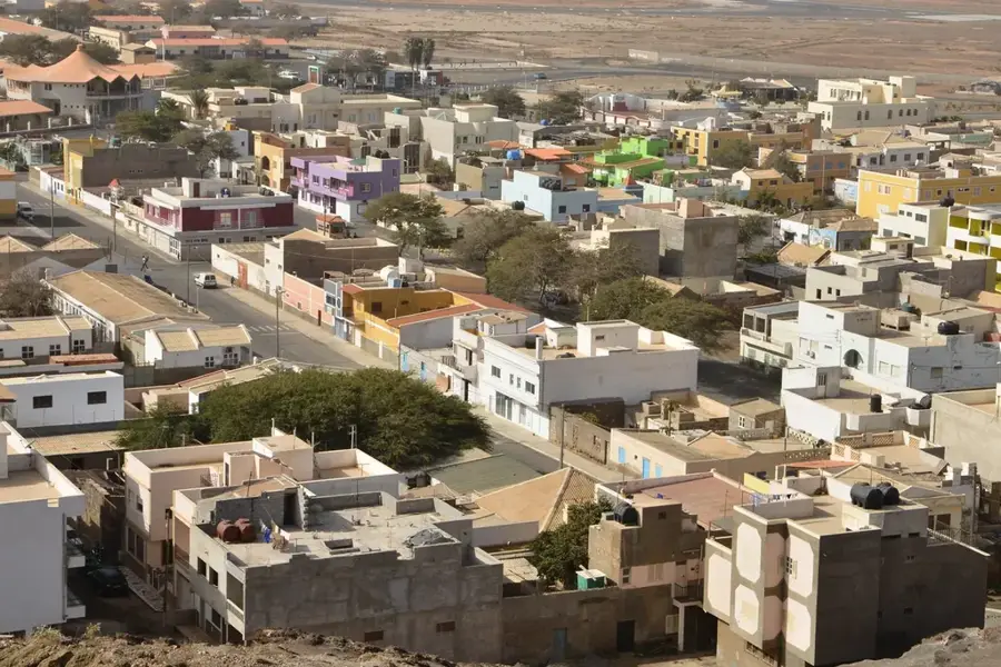
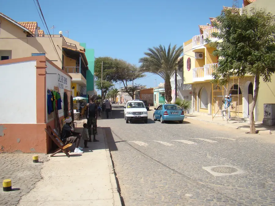
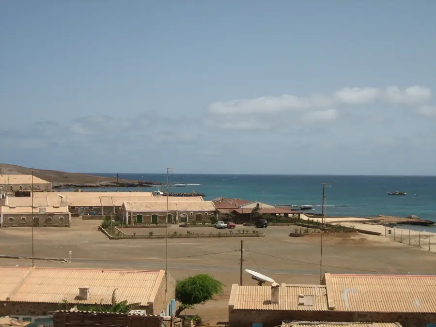
Monte Curral is a strategically and historically significant hill on the island of Sal in Cape Verde, reaching an elevation of approximately 109 meters. It rises directly above the city of Espargos, the island's administrative center, and serves as its most prominent geographical feature. The summit houses a crucial radar tower for the air traffic control of the nearby Amílcar Cabral International Airport, as well as various telecommunications installations. Geologically, it is an isolated volcanic neck composed of hard basaltic rocks that have resisted erosion more effectively than the surrounding terrain. Historically, the hill was used as a vital observation post by the Portuguese during World War II to monitor naval and aerial movements in the central Atlantic. Today, Monte Curral is accessible via a paved road, and visitors can enjoy a 360-degree panoramic view of Espargos, the airport runways, and the vast desert plains stretching to the coast. The slopes are largely barren but provide a habitat for some of Cape Verde's endemic reptile species. The mountain's role in modern infrastructure is indispensable, acting as a hub for safe navigation and communication in the region.
- Location: Cape Verde
- Top sights: Anfiteatro José Cabral · Monte Curral
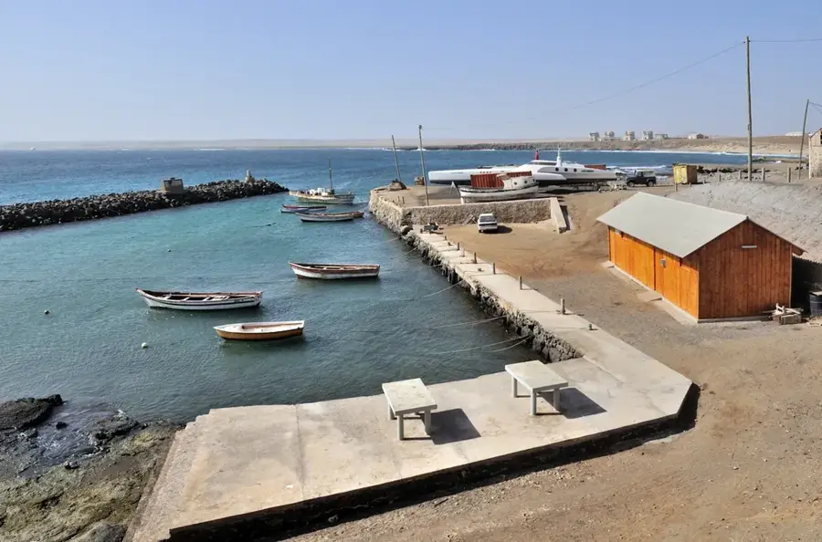
- Nearby: Palmeira (5 km)
Best time to visit & climate
The most pleasant time to visit is Mar–May.
| Jan | Feb | Mar | Apr | May | Jun | Jul | Aug | Sep | Oct | Nov | Dec | |
|---|---|---|---|---|---|---|---|---|---|---|---|---|
| Avg °C | 22 | 21 | 21 | 22 | 22 | 23 | 24 | 26 | 26 | 26 | 25 | 23 |
| Rain mm | 25 | 23 | 8 | 8 | 5 | 4 | 7 | 30 | 44 | 23 | 27 | 42 |
📋 Practical info
Geography
Facts
- The peak stands at 109 meters (358 feet) above sea level.
- It is the main telecommunications hub for the entire island of Sal.
- The hill is centrally located in the urban area of Espargos.
- Its strategic location was recognized during the mid-20th century for aviation.
- It consists of basaltic rocks that date back over 20 million years.
- The summit is a popular spot for watching sunsets over the desert landscape.
Explore nearby
Notable places around
Route planner — Car & Motorhome
Where do you start? We build the route here, with stops and country notes along the way.
© OpenStreetMap contributors · OpenRouteService
Sights in the town Monte Curral (2)
Sights nearby
Frequently asked questions
What is located on Monte Curral?
Where is this mountain located?
Can you visit the mountain?
Is the mountain historically significant?
How long does the visit take?
Monte Curral: where is it located?
Monte Curral: what is there to see?
Monte Curral: when is the best time to visit?
Monte Curral: why is it worth visiting?

Nearby cities
History & landmarks

Nature
More places