Plizio Visual Lab
Monte Grande
Weather…
Water temperature…
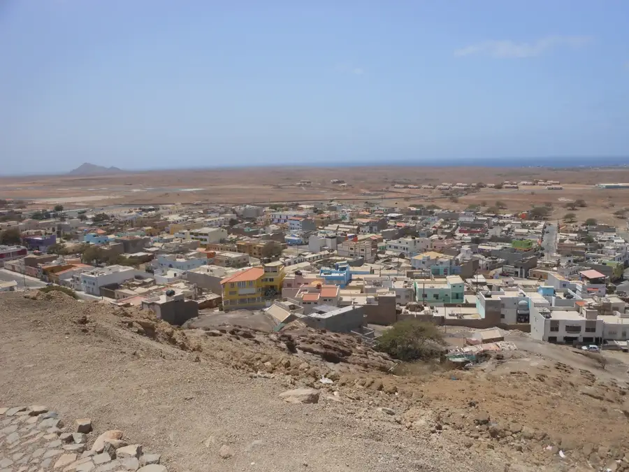
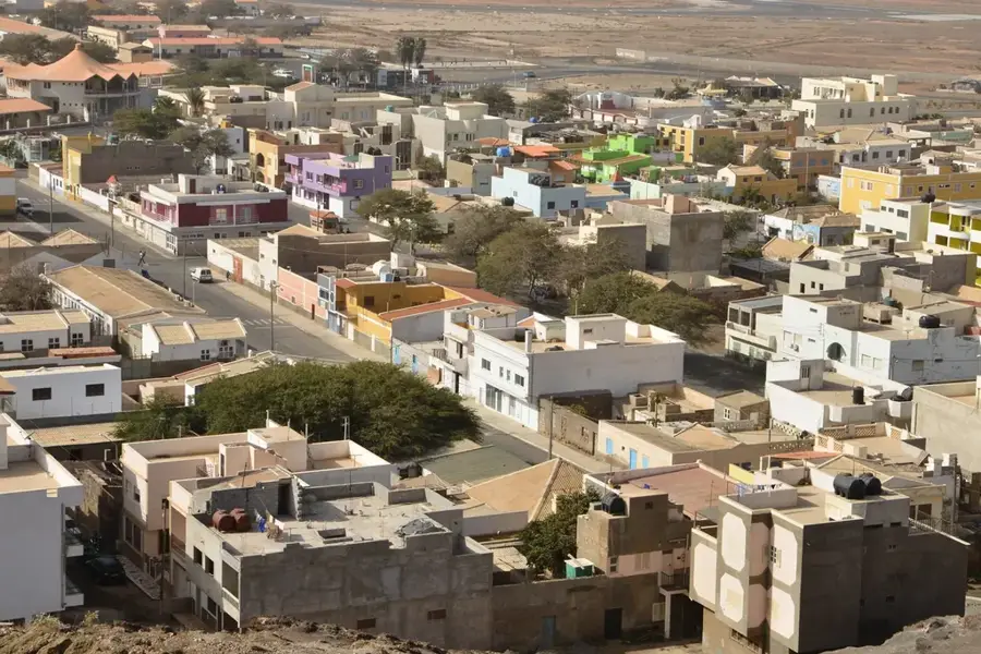
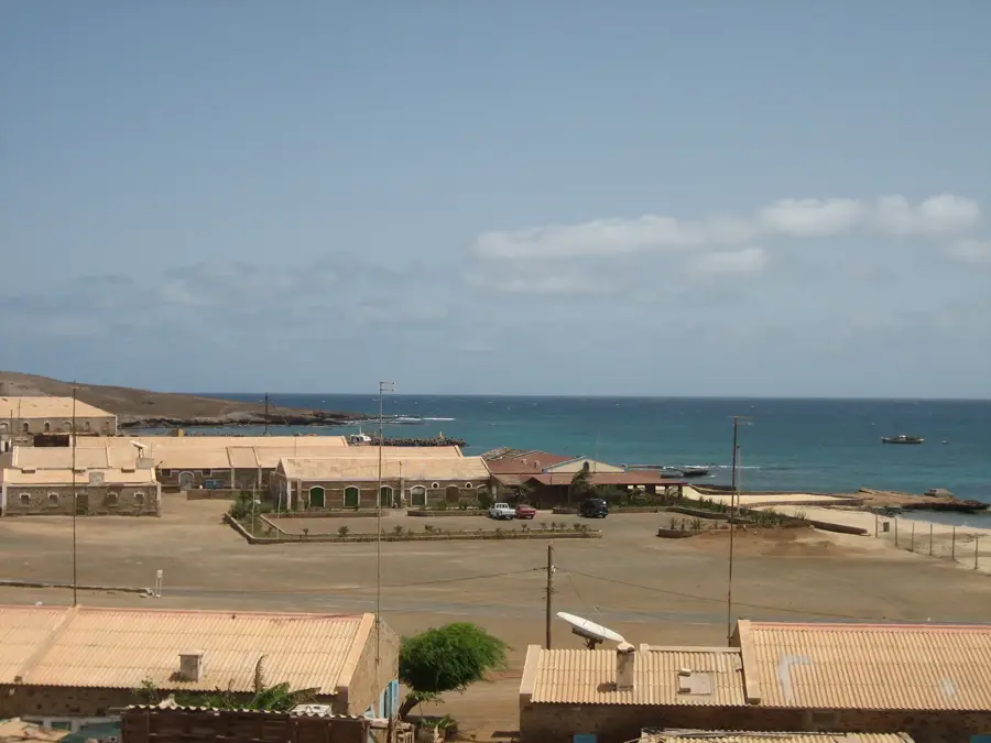
Monte Grande is the highest point on the island of Sal, reaching an elevation of 406 meters. Located in the northern section of the island, it stands out as a significant landmark against the otherwise flat and arid limestone plains. Geologically, it is the remnant of an ancient volcanic cone that has been gradually eroded over millions of years into its current rounded silhouette. Despite its modest height, the mountain serves as a crucial navigational reference for both sailors and local travelers. The area surrounding Monte Grande is a designated protected landscape, aimed at preserving unique desert flora and providing a habitat for nesting birds of prey. From the summit, hikers are rewarded with a panoramic view of the entire island, including the famous salt pans of Pedra de Lume and the vast sandy expanses to the south. Climbing Monte Grande has a unique opportunity to explore the volcanic heritage of Sal, providing a starkly beautiful contrast to the island's popular beach resorts.
- Location: Cape Verde
- Top sights: faro pequeno · Farol de Fiúra · Faról
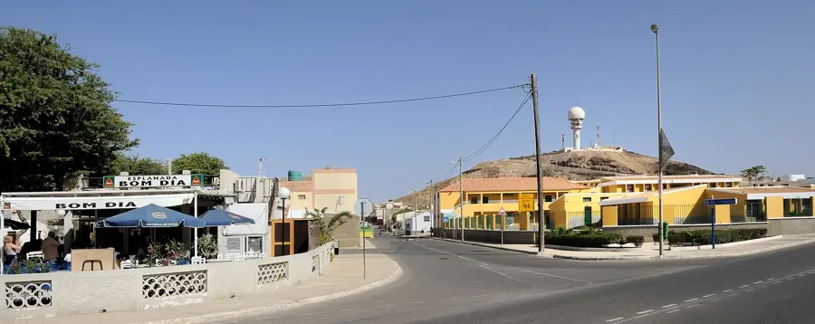
- Nearby: Espargos (9 km)
Best time to visit & climate
The most pleasant time to visit is Mar–May.
| Jan | Feb | Mar | Apr | May | Jun | Jul | Aug | Sep | Oct | Nov | Dec | |
|---|---|---|---|---|---|---|---|---|---|---|---|---|
| Avg °C | 22 | 21 | 21 | 22 | 22 | 23 | 24 | 26 | 26 | 26 | 25 | 23 |
| Rain mm | 25 | 23 | 8 | 8 | 5 | 4 | 7 | 30 | 44 | 23 | 27 | 42 |
📋 Practical info
Geography
Facts
- The official height of Monte Grande is 406 meters above sea level.
- The mountain is classified as a 'Protected Landscape' under local environmental laws.
- Its geological formation dates back to the island's earliest volcanic phase, 20 million years ago.
- On very clear days, it is possible to spot the distant silhouette of Boa Vista island.
- The distance from the summit to the main town of Espargos is roughly 10 kilometers.
- The slopes are home to unique bird species such as the Cape Verde kestrel.
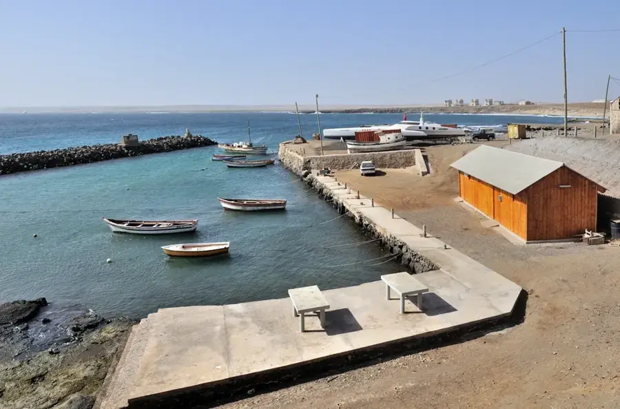
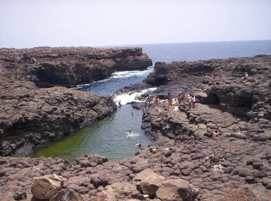
Explore nearby
Notable places around
Route planner — Car & Motorhome
Where do you start? We build the route here, with stops and country notes along the way.
© OpenStreetMap contributors · OpenRouteService
Sights in the town Monte Grande (4)
Sights nearby
Frequently asked questions
How high is Monte Grande?
Is the climb difficult?
What can you see from the summit?
Do you need a guide?
When should you start?
Monte Grande: where is it located?
Monte Grande: what is there to see?
Monte Grande: when is the best time to visit?
Monte Grande: why is it worth visiting?

Nearby cities
History & landmarks

Nature
More places