Plizio Visual Lab
Boulsa Plateau

Weather…
Water temperature…
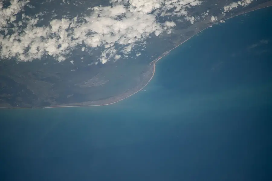
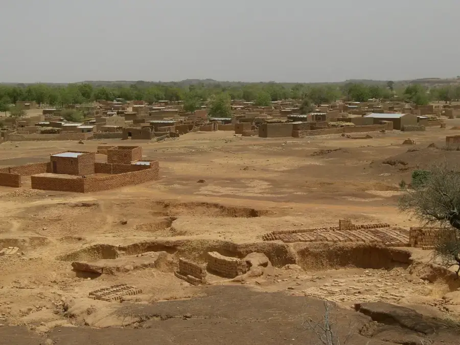
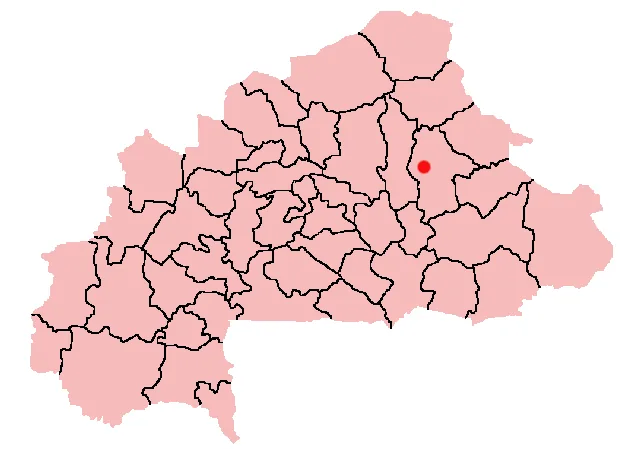
The Boulsa Plateau is located in the Namentenga Province of east-central Burkina Faso, forming part of the extensive central highland region. The topography is characterized by a monotonous, gently undulating surface at an elevation of 280 to 330 meters above sea level. Geologically, the plateau rests on the crystalline basement shield, where granite intrusions occasionally form small outcrops. The soils are typically shallow and often covered by a hard lateritic crust, which presents challenges for agricultural cultivation. However, deeper sediments accumulate in the valleys, enabling the growth of staple cereals. The vegetation consists of typical North Sudanian savanna, featuring trees such as shea (karité) and néré. The climate is defined by a long dry season, necessitating the construction of small dams to secure water supplies for both the local population and livestock.
- Location: Burkina Faso
- Nearby: Boulsa (11 km)
Best time to visit & climate
The most pleasant time to visit is Jan, Nov, Dec.
| Jan | Feb | Mar | Apr | May | Jun | Jul | Aug | Sep | Oct | Nov | Dec | |
|---|---|---|---|---|---|---|---|---|---|---|---|---|
| Avg °C | 23 | 27 | 31 | 33 | 33 | 30 | 28 | 27 | 27 | 28 | 26 | 24 |
| Rain mm | 2 | 1 | 2 | 14 | 42 | 105 | 166 | 238 | 129 | 36 | 0 | 0 |
📋 Practical info
Geography
Facts
- The plateau maintains an average elevation of 300 meters.
- The underlying geology is part of the Precambrian crystalline shield.
- Hard lateritic crusts cover large portions of the terrain.
- Shea (karité) and néré trees are the most common botanical features.
- Small-scale dams are essential for water management in the region.
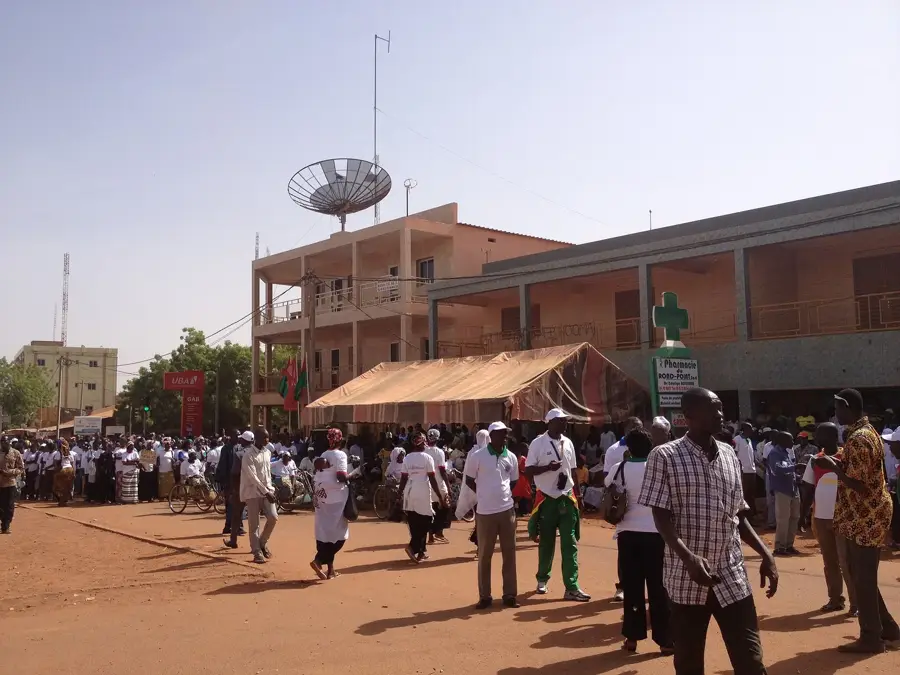
- The town of Boulsa is the provincial capital of Namentenga.
Explore nearby
Notable places around
Route planner — Car & Motorhome
Where do you start? We build the route here, with stops and country notes along the way.
© OpenStreetMap contributors · OpenRouteService
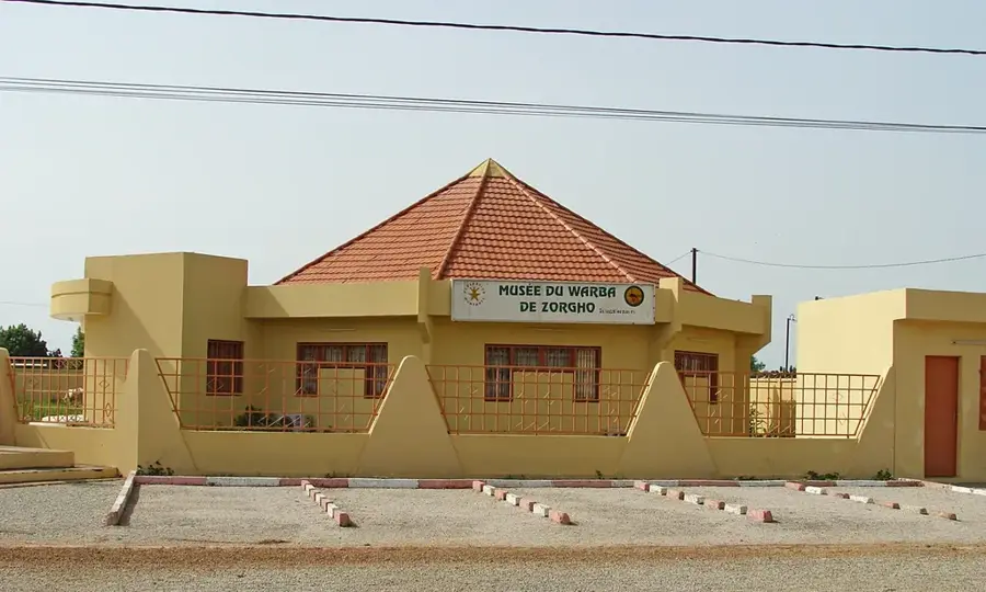
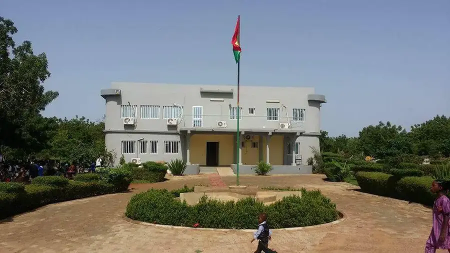
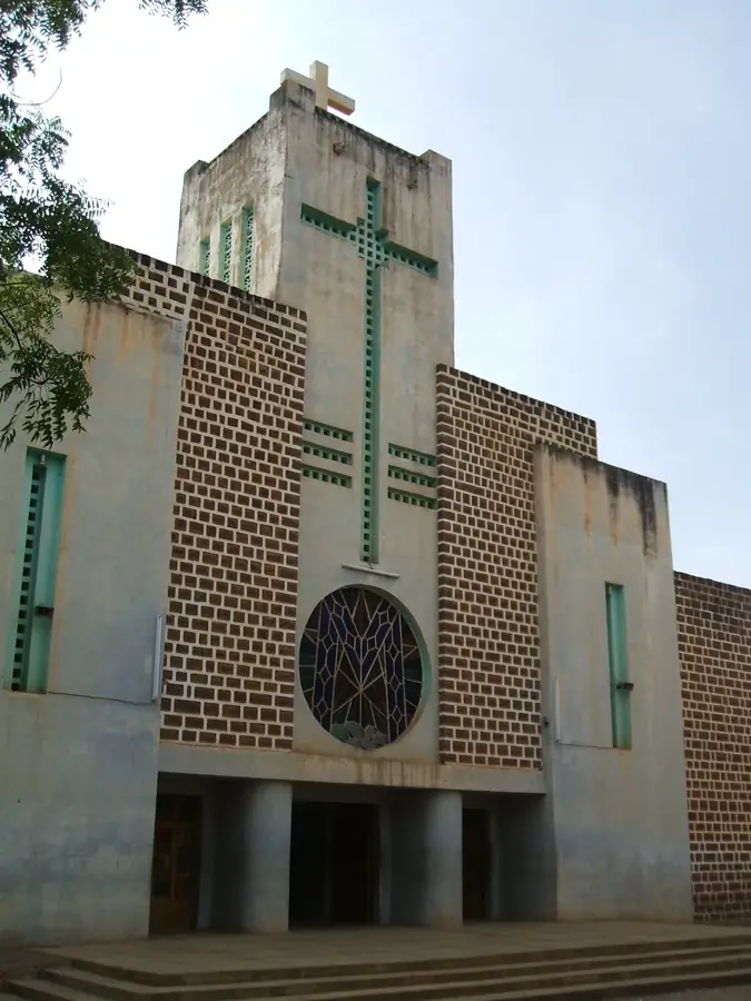
Sights in the town Boulsa Plateau (1)
Sights nearby
Frequently asked questions
What is the Boulsa Plateau?
Are the rocks suitable for climbing?
What grows on the plateau?
What is the visibility like?
Are there watercourses?
Boulsa Plateau: where is it located?
Boulsa Plateau: when is the best time to visit?
Boulsa Plateau: why is it worth visiting?

Nearby cities
More places