Plizio Visual Lab

Pouytenga Plain

Plizio editorial teamData Sources
Relief
—°
Pouytenga Plain (Burkina Faso)

Weather…

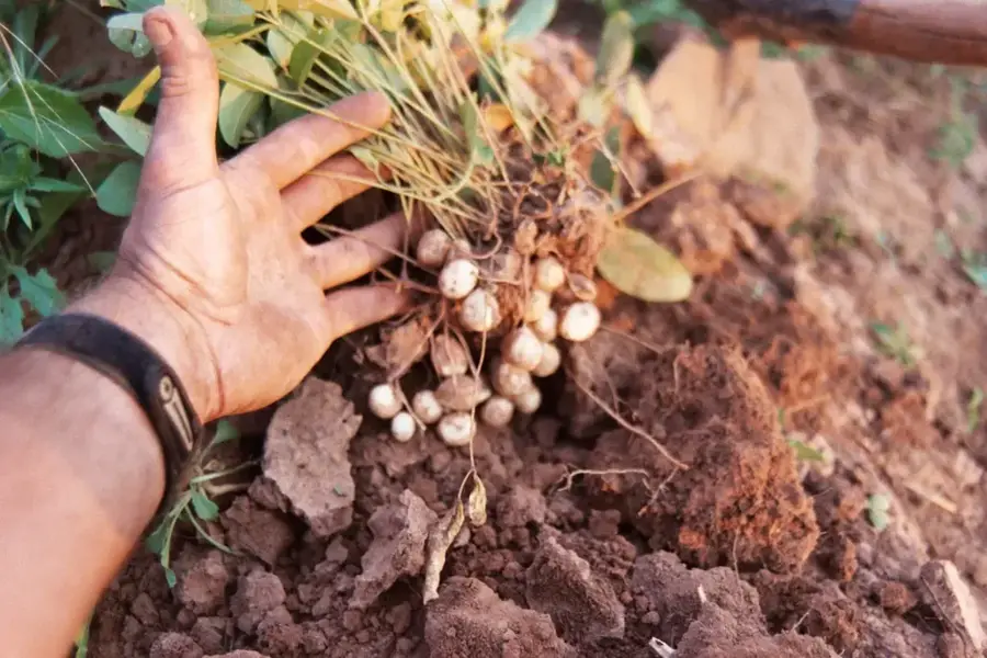
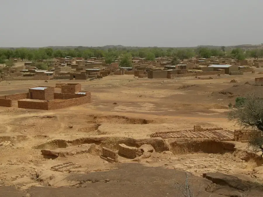
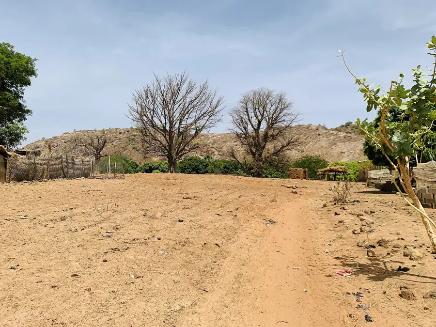
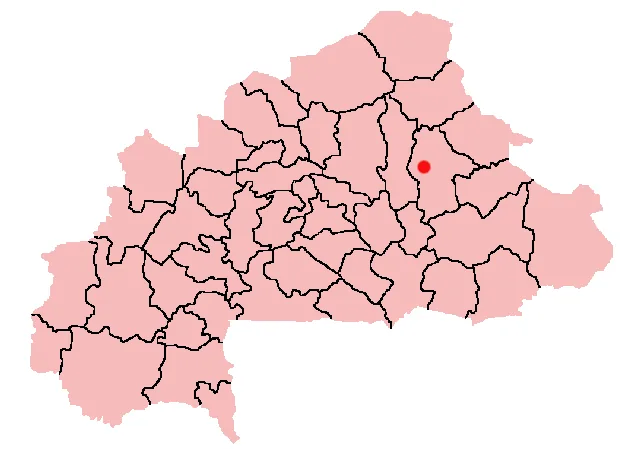
The Pouytenga Plain is situated in the Kouritenga Province of eastern Burkina Faso. This geographic unit is a segment of the gently sloping central plateau, reaching an elevation of approximately 290 to 310 meters. The relief is remarkably flat, which has historically established Pouytenga as a natural junction for trade routes connecting the West African coast with the Sahel region. Geologically, the area is dominated by lateritic formations created through iron enrichment processes. Despite the relative aridity, the plain is intensively farmed, with sorghum, millet, and peanuts serving as the primary crops. The plain functions as a local catchment area, with its runoff feeding into the White Volta (Nakambé) river system. Due to its strategic location and level terrain, the region has evolved into one of the country's most significant commercial hubs, where the physical geography directly facilitated the growth of large-scale markets.

Best time to visit & climate

The most pleasant time to visit is Jan, Nov, Dec.

JanFebMarAprMayJunJulAugSepOctNovDec
Avg °C232731333230272627272624
Rain mm11422571051662381424410

📋 Practical info

🧭
Getting there
The vast plain is generally accessed quite easily via the main prominent national routes that extensively connect the vital commercial hubs of Burkina Faso. Regular local transportation options and private vehicles are by far the most typical ways to navigate the area.
📅
Best season
The prevailing dry season, typically running reliably from November right through to February, is generally considered the most entirely comfortable time for extended travel. Conversely, during the heavy rainy season, some unpaved sections may become notably difficult to traverse.
⛰️
Terrain & paths
The sprawling terrain here is predominantly and remarkably flat and expansive, heavily characteristic of a wide, busy commercial and agricultural regional plain. There are virtually no significant elevation changes at all, making overall movement relatively straightforward and simple.
🎒
What to bring
Very lightweight, exceptionally breathable casual clothing and strong, reliable sun protection are absolutely essential items in this particular prevailing climate. Visitors should always dependably carry an incredibly abundant daily supply of fresh drinking water when traveling extensively.
🅿️
Parking
General parking is essentially very informal and widely available constantly across the entirety of the vast flat commercial region. However, inside the busy, bustling market areas, it is highly advisable to park exclusively in secure, officially designated spots if they are available.
⚠️
Safety
Travelers must definitely thoroughly prepare for consistently high regional temperatures and remember to remain well hydrated throughout the entire day. It is generally very strongly recommended to travel exclusively during daylight hours and be constantly aware of the heavy commercial traffic.
⏱️
Time needed
Merely passing smoothly through or conducting a general, quick overview of the wide plain usually just takes a few fleeting hours. Those purposefully engaging in robust local commerce or undertaking extensive cross-region travel may effortlessly spend a full busy day in the broader area.

Geography

Coordinates
12.28000, -0.28000

Facts

  • The plain is elevated at approximately 300 meters above sea level.
  • The exceptionally flat relief facilitates regional and international trade.
  • Lateritic soils define the geological landscape of the area.
  • Sorghum and peanuts are the cornerstone of the local agricultural economy.
  • Surface runoff from the plain feeds the Nakambé river basin.
  • Pouytenga is home to one of the largest livestock markets in West Africa.
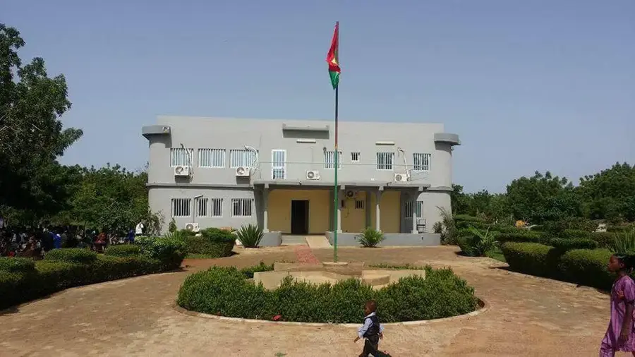
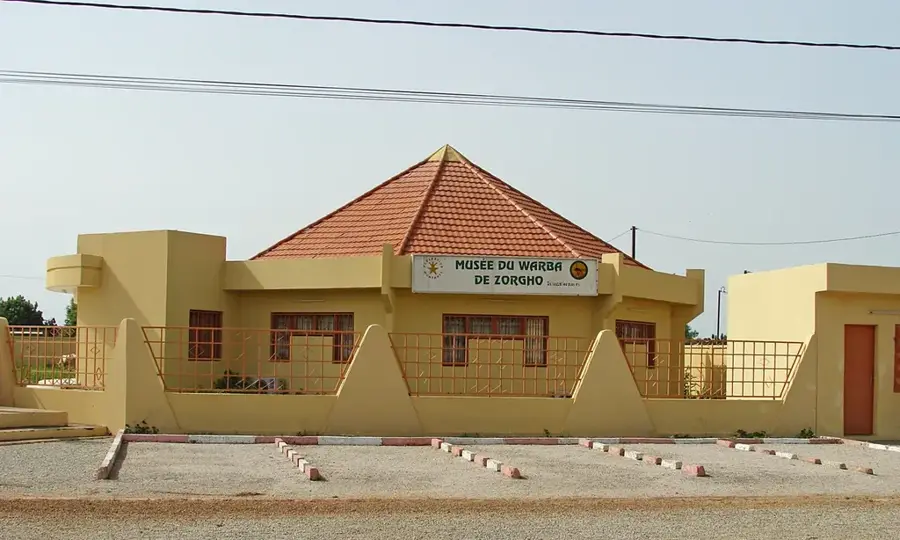
Explore nearby

Notable places around

Route planner — Car & Motorhome

Where do you start? We build the route here, with stops and country notes along the way.

Vehicle
Only stops with (optional):

© OpenStreetMap contributors · OpenRouteService

Sights nearby

Frequently asked questions

What does the terrain in Pouytenga look like?
It is a flat, open savanna plain without significant elevations.
Why is the region known?
Pouytenga is a huge marketplace and trade hub for West Africa.
Is it dusty there?
Yes, especially during the Harmattan wind (December-February), dust levels are high.
Are there parks or gardens?
There are no nature parks here; the use is purely economic and agricultural.
Can the region be reached by bus?
Yes, Pouytenga is on the main axis between Ouagadougou and Niamey.
Pouytenga Plain: where is it located?
Pouytenga Plain is located in Burkina Faso.
Pouytenga Plain: when is the best time to visit?
The most pleasant time to visit is Jan, Nov, Dec.
Pouytenga Plain: why is it worth visiting?
The Pouytenga Plain is situated in the Kouritenga Province of eastern Burkina Faso.
View on map → The Top 50 Attractions → OpenStreetMap →
Africa
Explore with Plizio Discover more places in Africa
More places in Burkina Faso →

Nearby cities

More places