Plizio Visual Lab
Bukit Bedawan

Weather…
Water temperature…
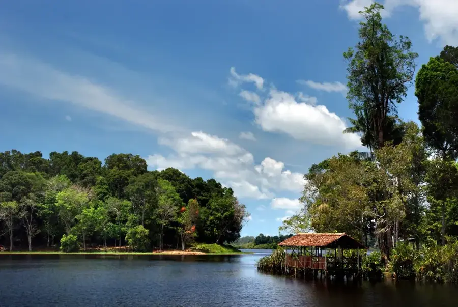
Standing at approximately 505 meters, Bukit Bedawan is the highest point in the Tutong district of Brunei. It is located in a remote and densely forested inland area, far from major settlements. Access to this peak is extremely difficult, and there are no official or marked trails leading to its summit. The landscape consists of pristine tropical rainforest, which is rich in biodiversity, including many rare plants and animals adapted to hill life. Expeditions to Bukit Bedawan are infrequent and typically only undertaken by well-equipped research teams or experienced jungle adventurers. The mountain and its surroundings form an important catchment area for the region's rivers and play a crucial role in the ecological stability of the Tutong district.
- Location: Brunei
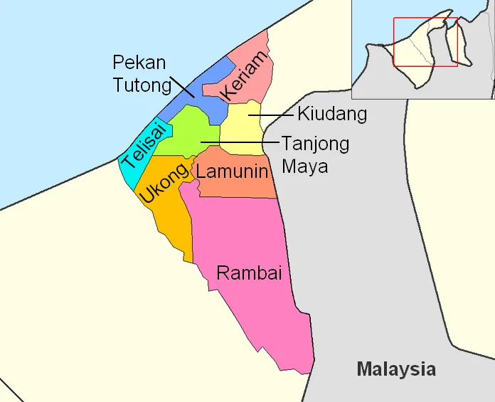
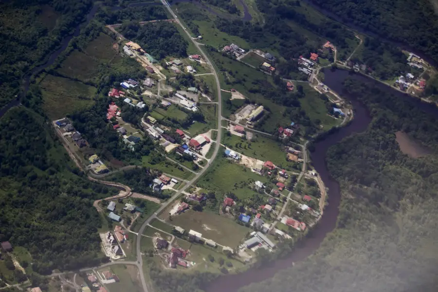
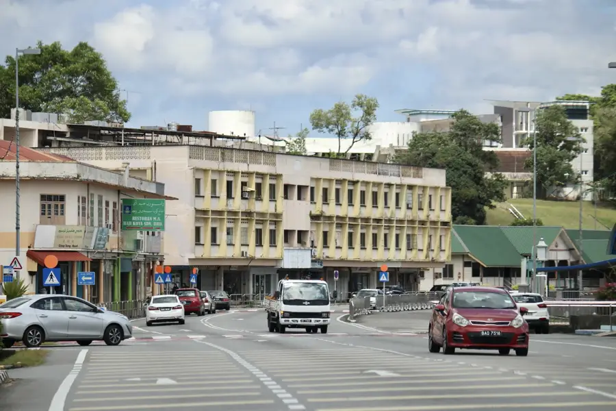
- Nearby: Lamunin (16 km)
Best time to visit & climate
The most pleasant time to visit is Feb, Mar, Aug.
| Jan | Feb | Mar | Apr | May | Jun | Jul | Aug | Sep | Oct | Nov | Dec | |
|---|---|---|---|---|---|---|---|---|---|---|---|---|
| Avg °C | 25 | 25 | 25 | 26 | 26 | 26 | 25 | 25 | 25 | 25 | 25 | 25 |
| Rain mm | 305 | 161 | 166 | 223 | 242 | 248 | 238 | 224 | 240 | 306 | 315 | 339 |
📋 Practical info
Geography
Facts
- Elevation: approx. 505 meters.
- Offers challenging hiking routes.
Explore nearby
Notable places around
Route planner — Car & Motorhome
Where do you start? We build the route here, with stops and country notes along the way.
© OpenStreetMap contributors · OpenRouteService
Sights nearby
Frequently asked questions
How high is Bukit Bedawan?
Where is Bukit Bedawan?
What are its relief features?
Is the mountain developed for tourism?
What is the ecological value of the area?
Bukit Bedawan: where is it located?
Bukit Bedawan: when is the best time to visit?
Bukit Bedawan: why is it worth visiting?

Nearby cities


History & landmarks

Nature
More places