Plizio Visual Lab
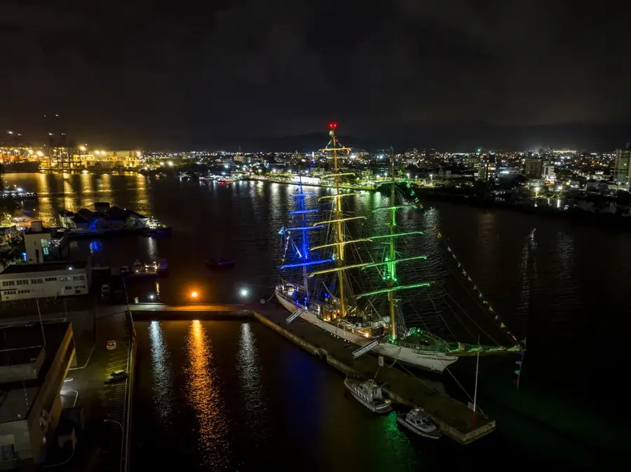
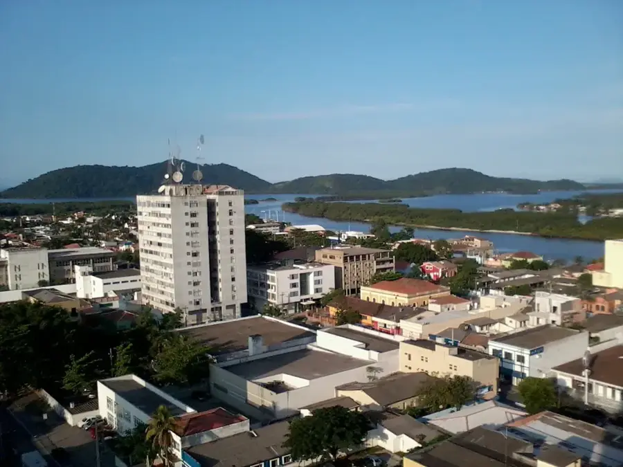
Port of São Francisco do Sul
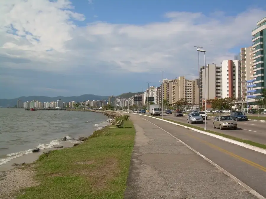
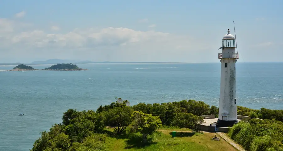
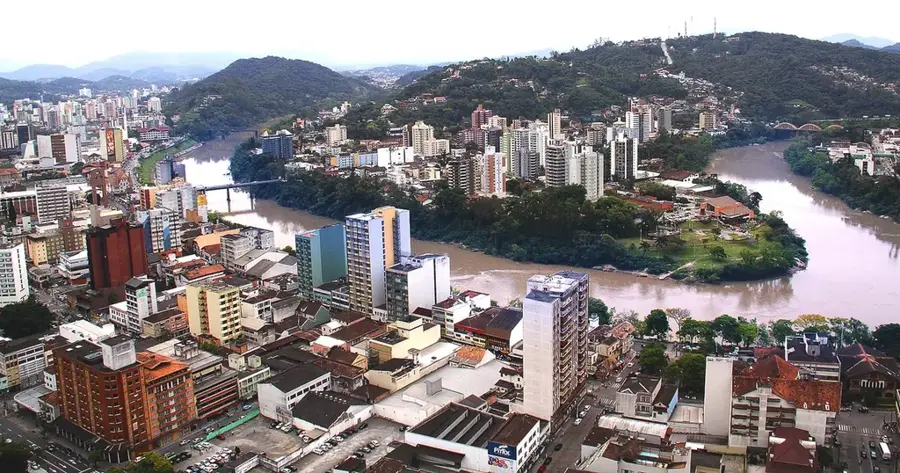
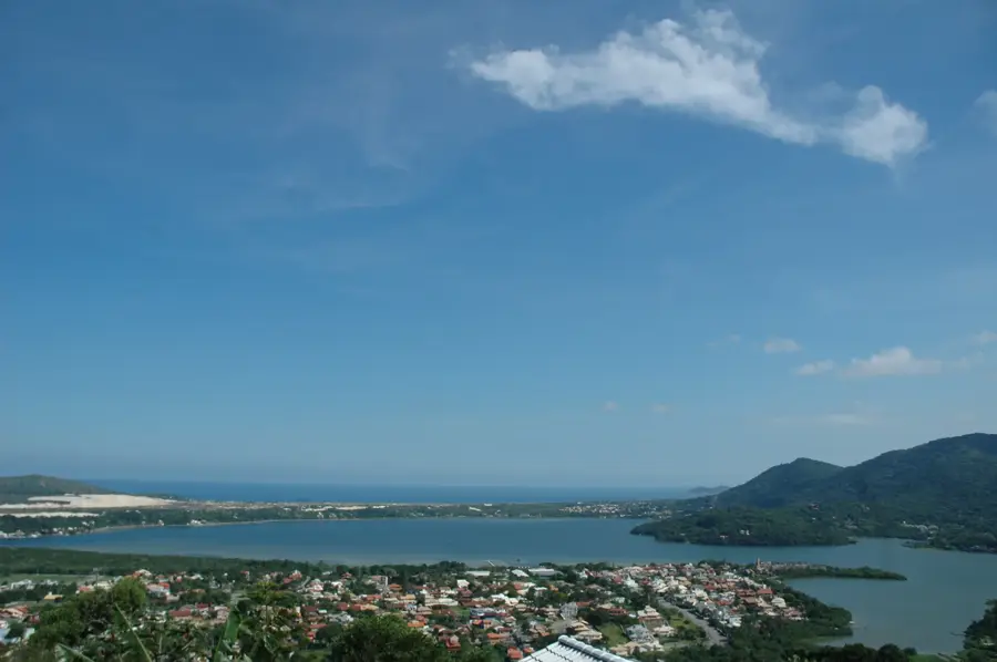
The Port of São Francisco do Sul is located in the protected Babitonga Bay in northern Santa Catarina. As one of the region's oldest and most efficient ports, it stands out for its natural depth and calm waters, making it convenient for bulk cargo operations. It is a major export hub for agricultural products such as soybeans and corn, as well as steel products from nearby industrial centers. The integration with the Rumo railroad network allows for cost-effective transportation of large cargo volumes from the hinterland. The port features a modern grain terminal and specialized facilities for fertilizer imports. Its position in one of Brazil's deepest bays enables deep-draft vessels to dock without significant technical constraints. Managed by the state government, the port continuously invests in modernizing its loading structures to maintain high competitiveness in the maritime market.
- Location: Brazil
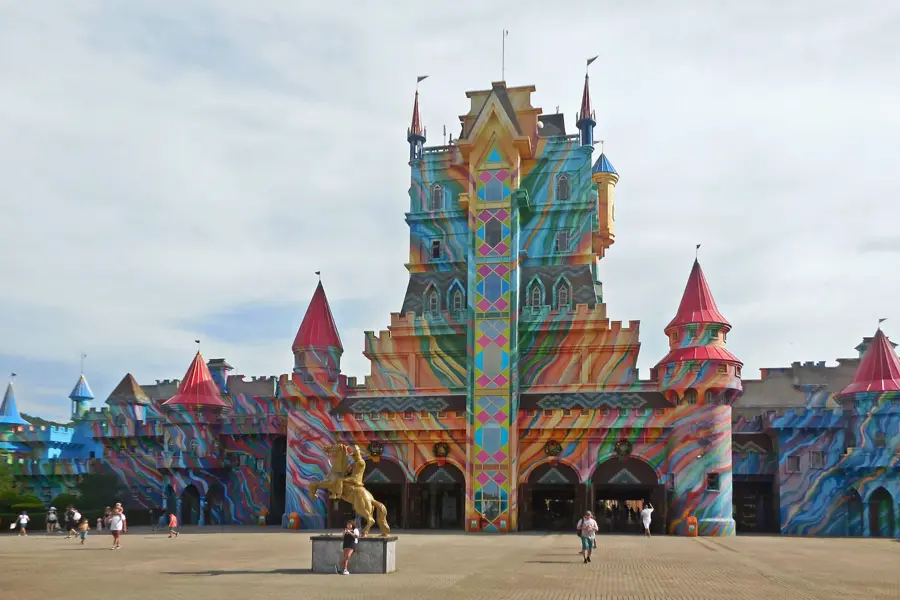
- Top sights: Baía da Babitonga · Museu Histórico Prefeito José Schmidt · Cachoeira da Serrinha
- Nearby: Joinville (24 km)
Best time to visit & climate
The most pleasant time to visit is Apr, Aug, Nov.
| Jan | Feb | Mar | Apr | May | Jun | Jul | Aug | Sep | Oct | Nov | Dec | |
|---|---|---|---|---|---|---|---|---|---|---|---|---|
| Avg °C | 24 | 24 | 23 | 21 | 18 | 17 | 16 | 17 | 18 | 20 | 21 | 23 |
| Rain mm | 248 | 209 | 170 | 114 | 113 | 106 | 101 | 79 | 131 | 153 | 156 | 187 |
📋 Practical info
Geography
Facts
- Located in Babitonga Bay, one of Brazil's deepest natural ports.
- Primary hub for handling steel products in Santa Catarina.
- Directly linked to the Rumo Logística rail network.
- Handles an annual cargo throughput of over 15 million tons.
- Specialized in grain exports and fertilizer imports.
- Features a natural water depth of up to 14 meters.
Explore nearby
Notable places around
Route planner — Car & Motorhome
Where do you start? We build the route here, with stops and country notes along the way.
© OpenStreetMap contributors · OpenRouteService
Sights in the town Port of São Francisco do Sul (10)
Sights nearby
Frequently asked questions
How old is the Port of São Francisco do Sul?
What are the main export goods here?
Where exactly is this port located?
Is there a maritime museum?
Is the port important for the steel sector?
Port of São Francisco do Sul: where is it located?
Port of São Francisco do Sul: what is there to see?
Port of São Francisco do Sul: when is the best time to visit?
Port of São Francisco do Sul: why is it worth visiting?

Nearby cities
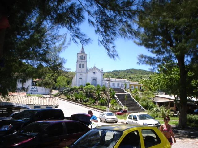
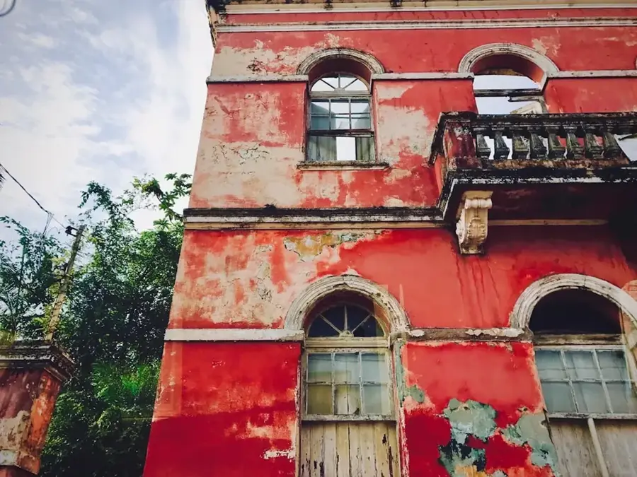
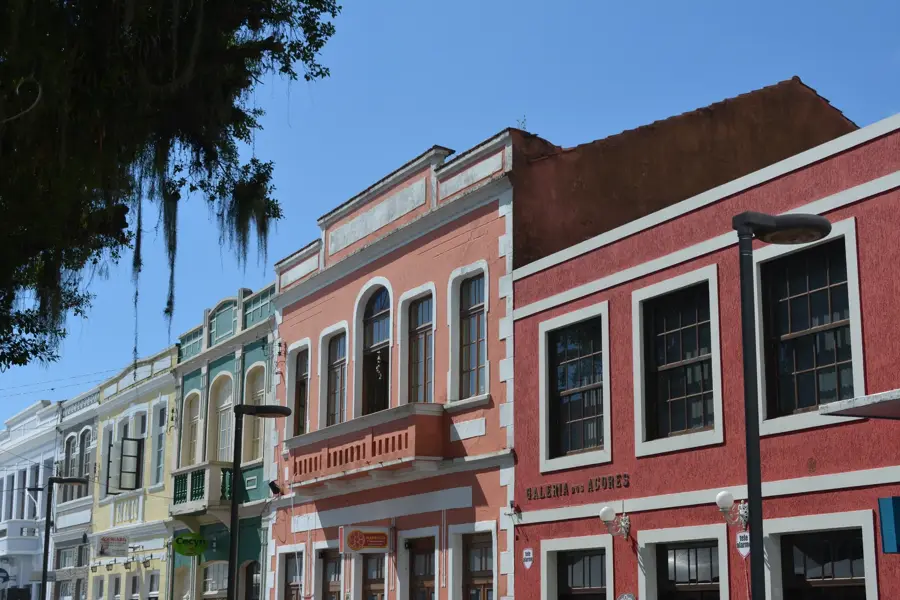
History & landmarks
Nature
More places