Plizio Visual Lab
Santa Marta Lighthouse
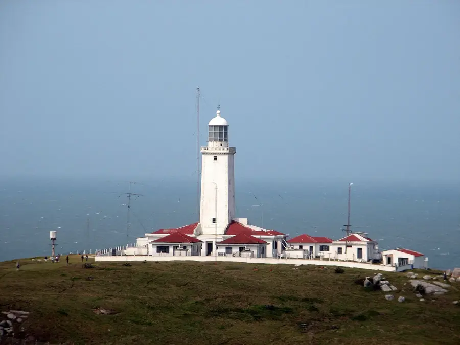
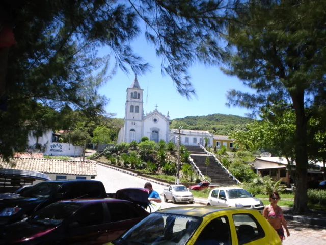
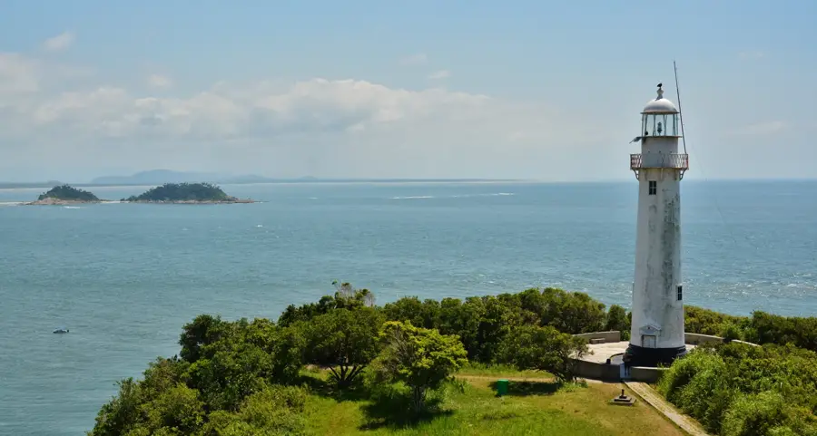
The Santa Marta Lighthouse, located in Laguna, Santa Catarina, is one of the most powerful and historically significant lighthouses in the Americas. Built in 1891 by French engineers, it stands on a prominent cape that juts out into the South Atlantic Ocean. The tower itself is 29 meters tall, but because it sits atop a 45-meter-high hill, its focal plane is 74 meters above sea level, providing an immense visual range. For over a century, its light has safely guided ships through the treacherous waters along the southern coast of Brazil. The structure was built with massive stone walls and a mortar made with whale oil, a common technique at the time to ensure resistance against the region's intense winds. Around the lighthouse, a pleasant fishing village has developed, now a popular destination for surfers and nature enthusiasts. The combination of historic engineering, rugged coastal scenery, and the vast ocean view makes it a unique cultural landmark, still maintained by the Brazilian Navy.
- Location: Brazil
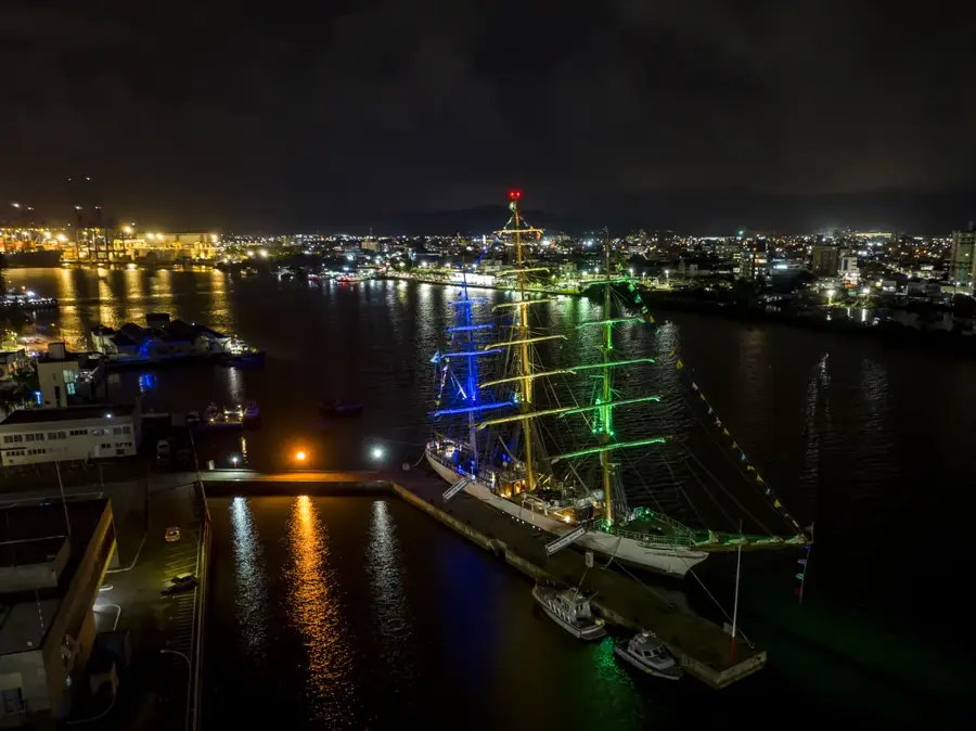
- Top sights: Sambaqui · Farol de Santa Marta · Praia da Ilhota
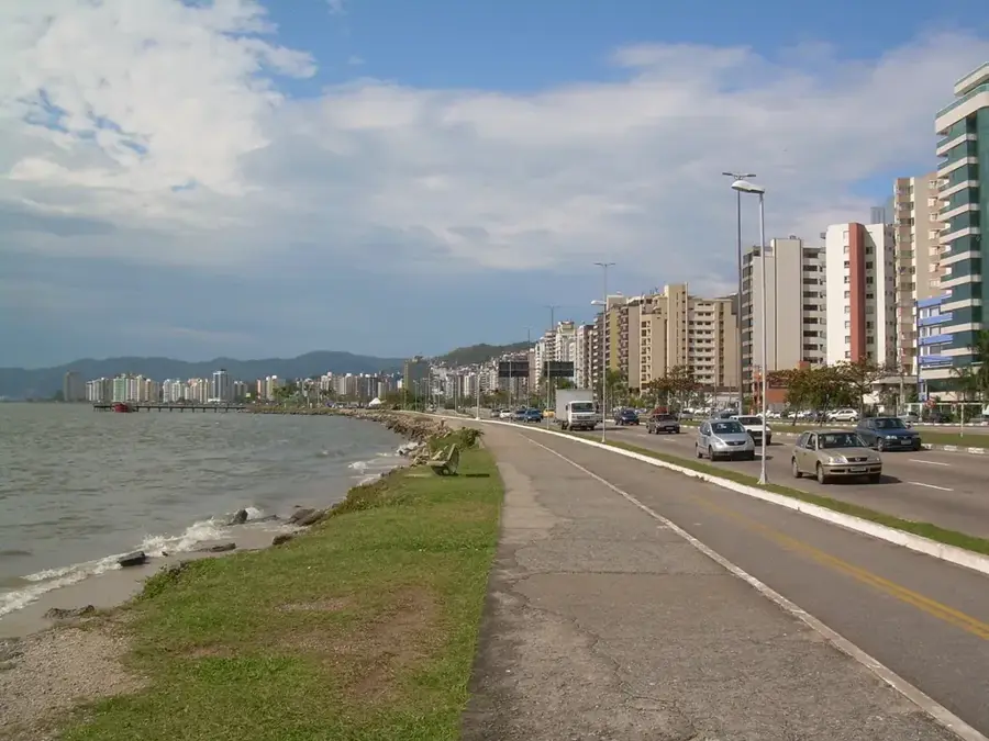
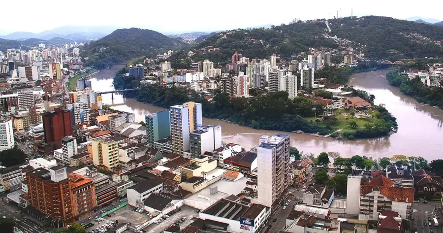
- Nearby: Garopaba (48 km)
Best time to visit & climate
The most pleasant time to visit is Apr, May, Nov.
| Jan | Feb | Mar | Apr | May | Jun | Jul | Aug | Sep | Oct | Nov | Dec | |
|---|---|---|---|---|---|---|---|---|---|---|---|---|
| Avg °C | 25 | 25 | 25 | 23 | 20 | 18 | 17 | 17 | 18 | 20 | 22 | 24 |
| Rain mm | 157 | 129 | 122 | 83 | 110 | 86 | 101 | 94 | 135 | 119 | 110 | 120 |
📋 Practical info
Geography
Facts
- The lighthouse was first lit on June 11, 1891.
- Its light has a nominal range of approximately 46 nautical miles.
- The tower stands 29 meters tall on a 45-meter elevation.
- It uses a high-precision Fresnel lens manufactured in France.
- It is ranked among the most powerful lighthouses in the world.
- The structure was built using a mortar containing whale oil.
Explore nearby
Notable places around
Route planner — Car & Motorhome
Where do you start? We build the route here, with stops and country notes along the way.
© OpenStreetMap contributors · OpenRouteService
Sights in the town Santa Marta Lighthouse (11)
Sights nearby
Frequently asked questions
Where is the Santa Marta Lighthouse located?
Can you go inside the lighthouse?
What is the region known for?
Is the road to the lighthouse paved?
Are there accommodations nearby?
Santa Marta Lighthouse: where is it located?
Santa Marta Lighthouse: what is there to see?
Santa Marta Lighthouse: when is the best time to visit?
Santa Marta Lighthouse: why is it worth visiting?

Nearby cities
History & landmarks

Nature
More places