Plizio Visual Lab
Fernando de Noronha
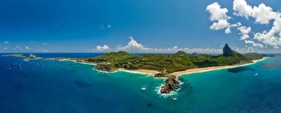
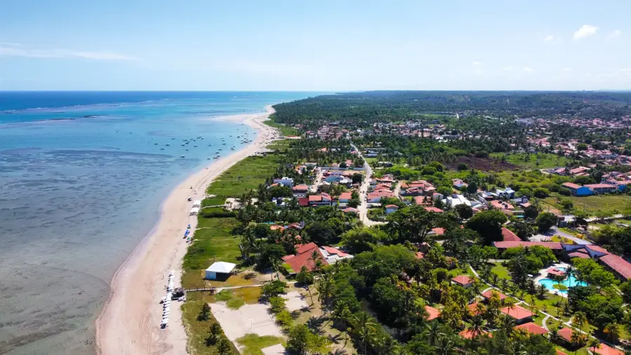
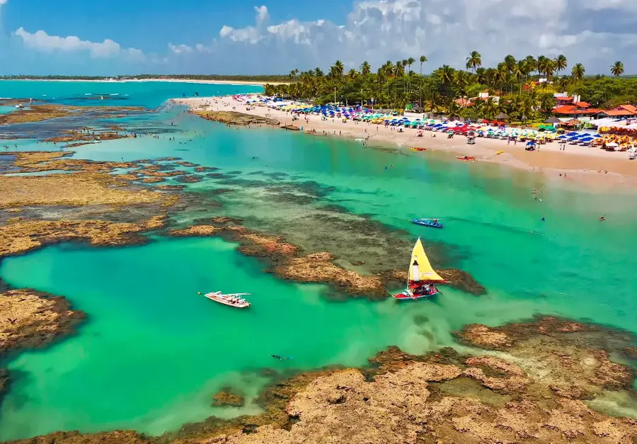
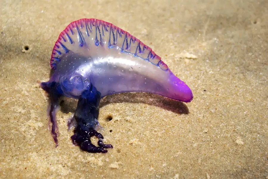
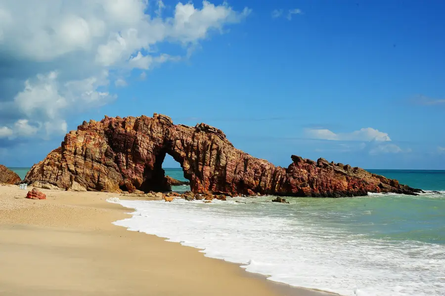
Fernando de Noronha is a volcanic archipelago in the Atlantic Ocean, situated approximately 354 kilometers offshore from the Brazilian mainland. Consisting of 21 islands and islets, only the main island is inhabited, serving as a sanctuary for diverse wildlife and a premier eco-tourism destination. The archipelago is home to Baía do Sancho, frequently ranked as the world's most beautiful beach by international travel publications. In 2001, it was designated a UNESCO World Heritage site due to its importance as a breeding ground for spinner dolphins, sea turtles, and various seabirds. The surrounding waters boast exceptional visibility of up to 50 meters, making it the top destination for scuba diving in Brazil. To maintain its ecological balance, the government limits the number of daily visitors and requires payment of an environmental preservation tax. Historically, the island functioned as a penal colony for several centuries before becoming a protected area.
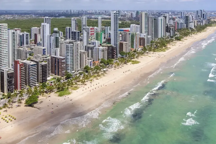
- Location: Brazil
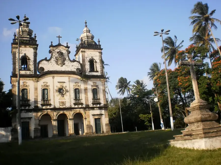
- Top sights: Adventista do sétimo dia · Igreja Batista · Igreja Presbiteriana
Best time to visit & climate
The most pleasant time to visit is Sep–Nov.
| Jan | Feb | Mar | Apr | May | Jun | Jul | Aug | Sep | Oct | Nov | Dec | |
|---|---|---|---|---|---|---|---|---|---|---|---|---|
| Avg °C | 27 | 27 | 28 | 28 | 28 | 27 | 27 | 26 | 26 | 26 | 27 | 27 |
| Rain mm | 69 | 103 | 164 | 232 | 156 | 102 | 63 | 22 | 11 | 7 | 7 | 27 |
📋 Practical info
Geography
Facts
- The archipelago consists of 21 islands and islets
- Located 354 km from the nearest point of the mainland
- Designated as a UNESCO World Heritage site in 2001
- Home to Baía do Sancho, often voted the world's best beach
- Underwater visibility regularly reaches up to 50 meters
- Visitors pay a daily Environmental Preservation Tax
Route planner — Car & Motorhome
Where do you start? We build the route here, with stops and country notes along the way.
© OpenStreetMap contributors · OpenRouteService
Sights in the town Fernando de Noronha (10)
Igreja Presbiteriana
Presbyterian church on the island, meeting place for the Presbyterian community.
Atalaia Natural Pool
Natural tidal pool in the sea at Fernando de Noronha, suitable for swimming at low tide.
Arvore
A notable tree on Fernando de Noronha, serving as a landmark.
Autarquia Territorial Distrito Estadual de Fernando de Noronha
Administrative building of the island district, seat of local authorities.
Arsenal
Ruins of a former arsenal on Fernando de Noronha, evidence of military history.
Aldeia dos Sentenciados
Ruins of a former penal colony on the island, a historical site.
Sights nearby
Frequently asked questions
How do you get to Fernando de Noronha?
Do you have to pay an environmental fee?
Is there a limit on the number of visitors?
What is the best activity on the island?
Can you rent cars on the island?
Fernando de Noronha: where is it located?
Fernando de Noronha: what is there to see?
Fernando de Noronha: when is the best time to visit?
Fernando de Noronha: why is it worth visiting?

Nearby cities