Plizio Visual Lab
Amboró National Park
Weather…
Water temperature…
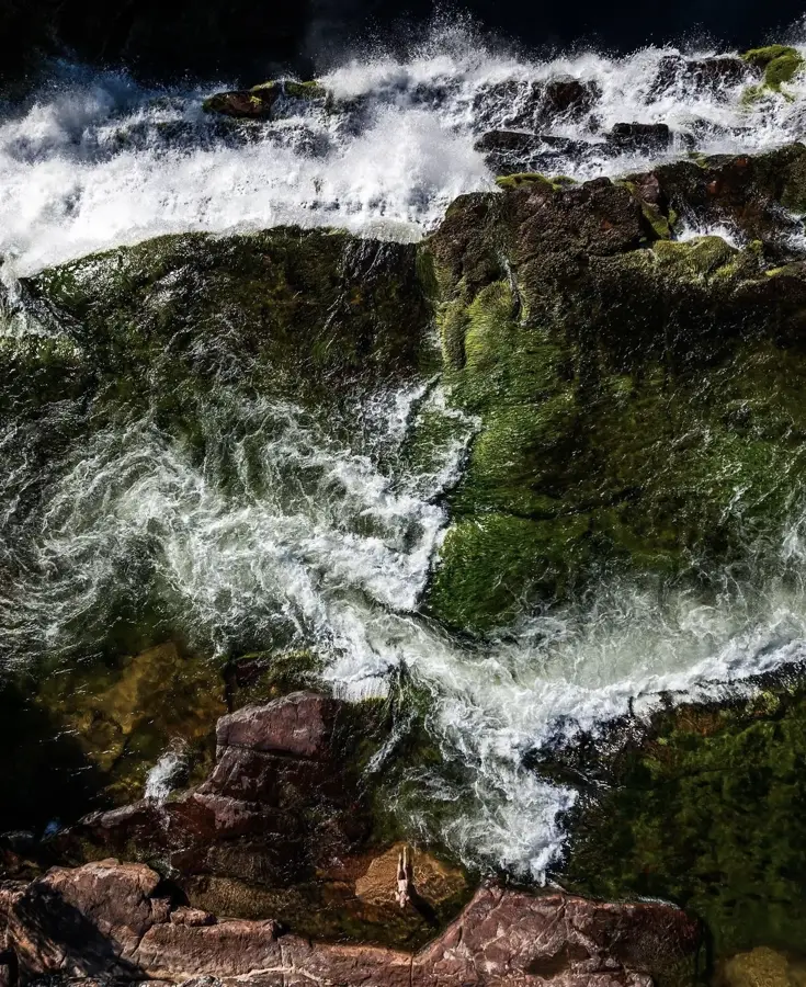
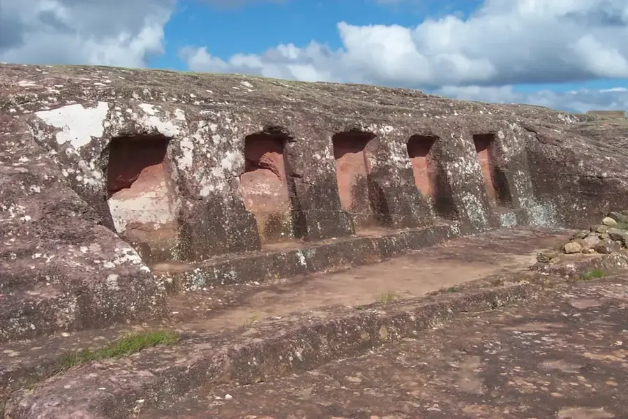
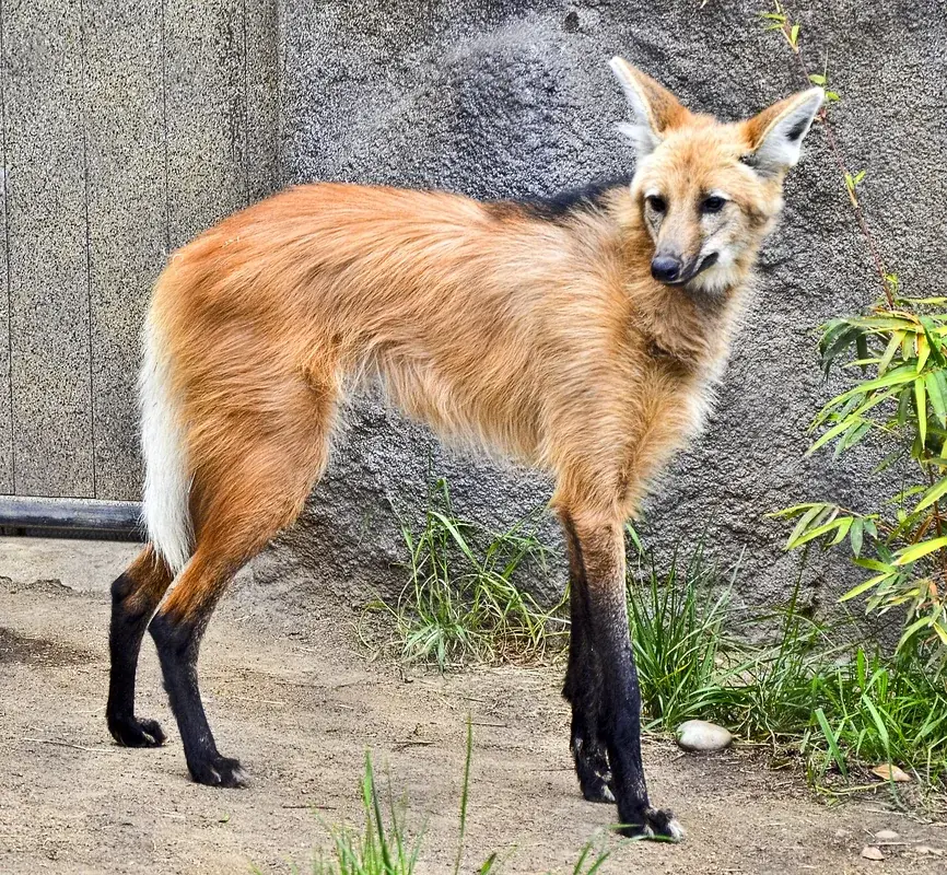
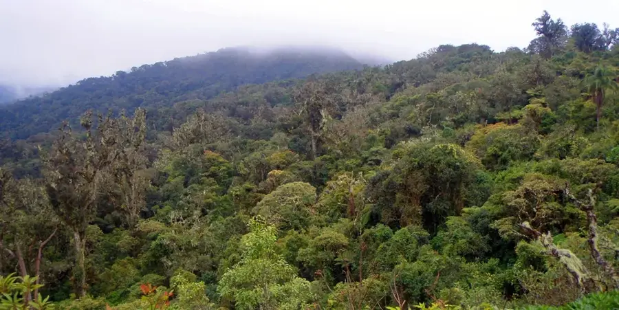
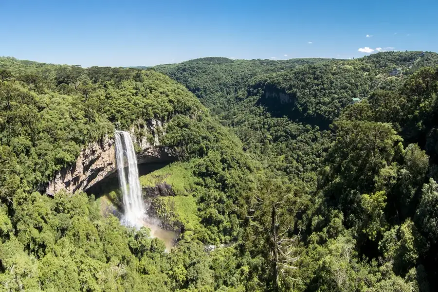
Amboró National Park is situated in central Bolivia at the 'Elbow of the Andes', where the mountain range pivots southward. Covering 4,425 square kilometers, the park is unique because it marks the convergence of three distinct ecosystems: the Amazon Basin, the northern reaches of the Gran Chaco, and the temperate Andean forests. This overlap results in extraordinary biodiversity, featuring over 800 species of birds and a remarkable flora that includes giant tree ferns reaching heights of up to 13 meters. The landscape is defined by deep canyons, striking red sandstone formations, and dense cloud forests. Established in 1973 and significantly expanded later, the park protects critical watersheds that provide water to the nearby metropolis of Santa Cruz de la Sierra. Despite its ecological importance, the park faces challenges from illegal settlement and agricultural encroachment along its borders. For visitors, Amboró has spectacular trekking opportunities in a near-pristine wilderness.
📋 Practical info
Geography
Facts
- The park was originally established as a reserve on December 20, 1973.
- It covers a total land area of approximately 4,425 square kilometers.
- Elevation within the park ranges from 300 to 3,338 meters above sea level.
- More than 812 distinct bird species have been documented in the park.
- The park is home to 177 mammal species, including the jaguar.
- Giant tree ferns in the 'Bosque de los Helechos Gigantes' are over 1,000 years old.
Explore nearby
Notable places around
Route planner — Car & Motorhome
Where do you start? We build the route here, with stops and country notes along the way.
© OpenStreetMap contributors · OpenRouteService
Sights nearby
Frequently asked questions
Which zone is better to visit?
What is the hike difficulty?
Is there tourist infrastructure?
What should I pack?
How is the parking?
Amboró National Park: where is it located?
Amboró National Park: why is it worth visiting?

Nature
More places