Plizio Visual Lab
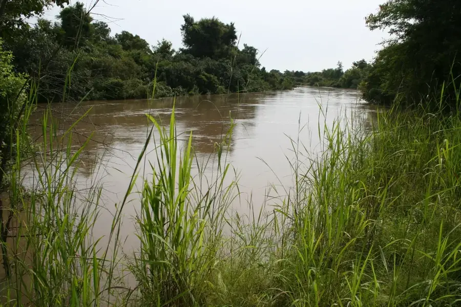
Sô River
Weather…
Water temperature…
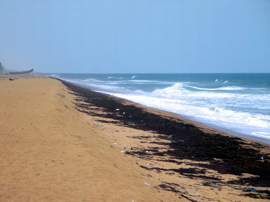
The Sô River is a significant waterway in southern Benin, flowing parallel to the Ouémé River before eventually discharging into Lake Nokoué. It is a vital component of the regional hydrological system, sustaining the extensive lagoon environments that are essential for local fisheries. The Sô is most famous for the stilt villages built upon its waters, such as Ganvié, which is often referred to as the 'Venice of Africa.' For the local Tofinu people, the river serves as both a primary transport corridor and a source of livelihood, with water-based commerce being a centuries-old tradition. The riverbanks are characterized by lush vegetation and wetlands that provide critical habitats for various waterfowl species. During the rainy season, the Sô overflows its banks, flooding the surrounding plains and depositing fertile silt. However, the ecological health of the river is currently pressured by urban waste and increased sedimentation, highlighting the need for sustainable management.
- Location: Benin
- Top sights: Maison de la francophonie · Atelier d'art
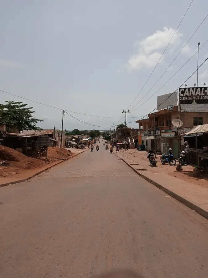
- Nearby: Azizakouè (45 km)
Best time to visit & climate
The most pleasant time to visit is Jan, Feb, Dec.
| Jan | Feb | Mar | Apr | May | Jun | Jul | Aug | Sep | Oct | Nov | Dec | |
|---|---|---|---|---|---|---|---|---|---|---|---|---|
| Avg °C | 27 | 28 | 28 | 28 | 27 | 26 | 25 | 25 | 25 | 26 | 27 | 27 |
| Rain mm | 21 | 33 | 78 | 119 | 174 | 216 | 165 | 93 | 198 | 172 | 55 | 20 |
📋 Practical info
Geography
Facts
- The Sô River empties into Lake Nokoué, Benin's largest lagoon.
- The world-famous stilt city of Ganvié is located within the Sô's basin.
- The river is a primary transport route for agricultural goods from the north.
- During the dry season, the river's width typically measures 30 to 50 meters.
- Artisanal fishing in the Sô provides a livelihood for thousands of families.
- The river course is lined with extensive papyrus and reed wetlands.
Explore nearby
Notable places around
Route planner — Car & Motorhome
Where do you start? We build the route here, with stops and country notes along the way.
© OpenStreetMap contributors · OpenRouteService
Sights in the town Sô River (2)
Sights nearby
Frequently asked questions
Where does the Sô River flow into?
What famous landmark is located on the Sô?
Can you navigate the river by boat?
What can be seen along the banks?
Is the river navigable all year round?
Sô River: where is it located?
Sô River: what is there to see?
Sô River: when is the best time to visit?
Sô River: why is it worth visiting?

Nearby cities
Nature
More places