Plizio Visual Lab
Pico Teneriffe
Weather…
Water temperature…
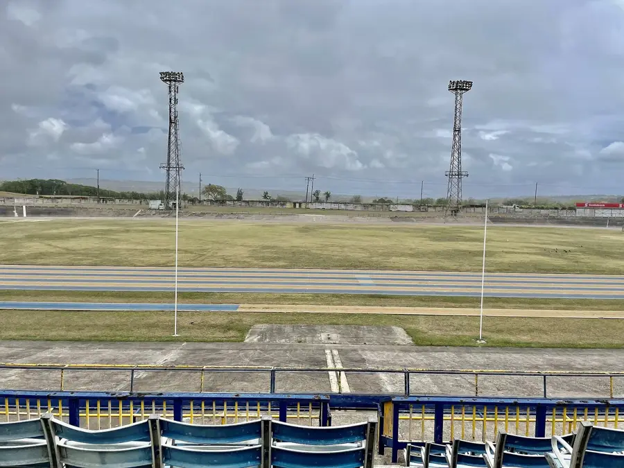
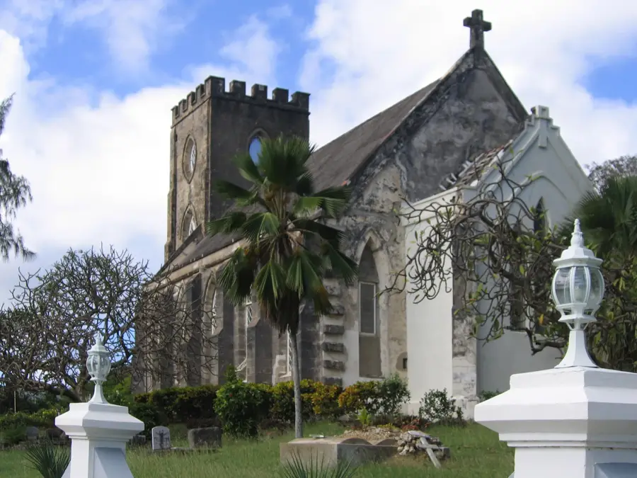
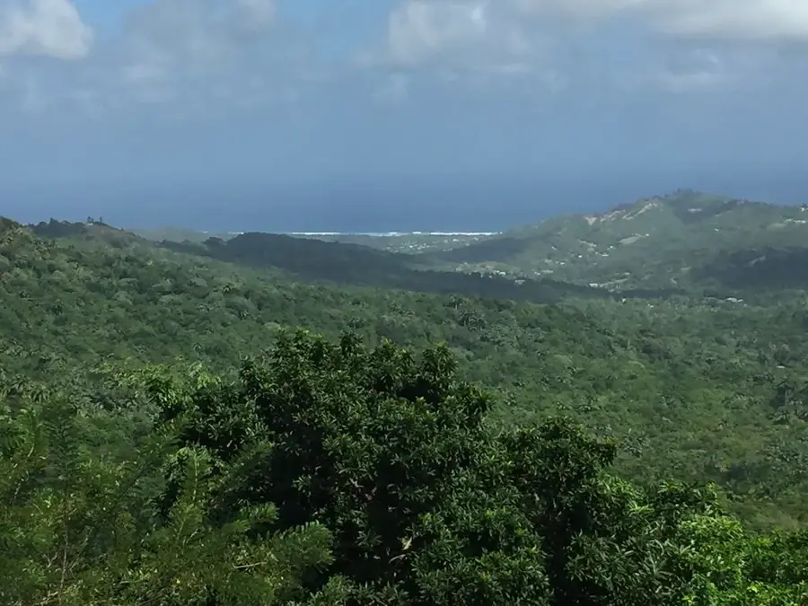
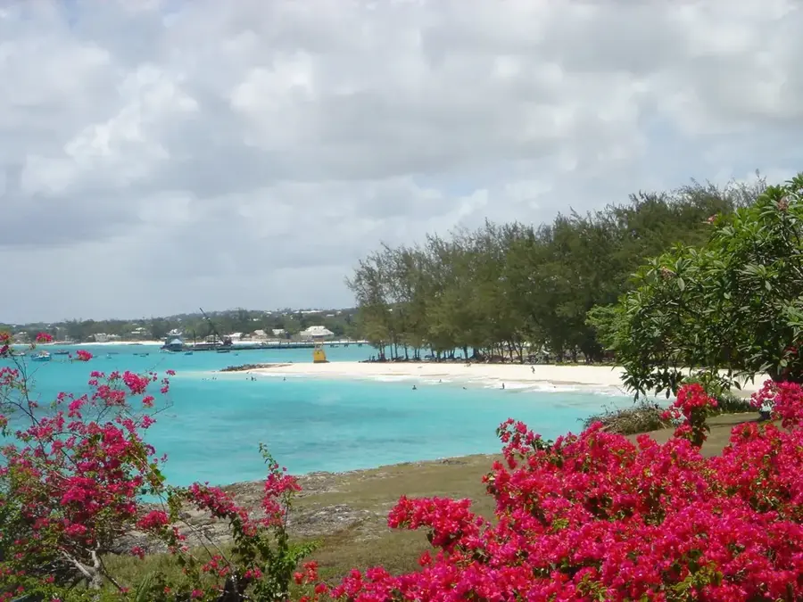
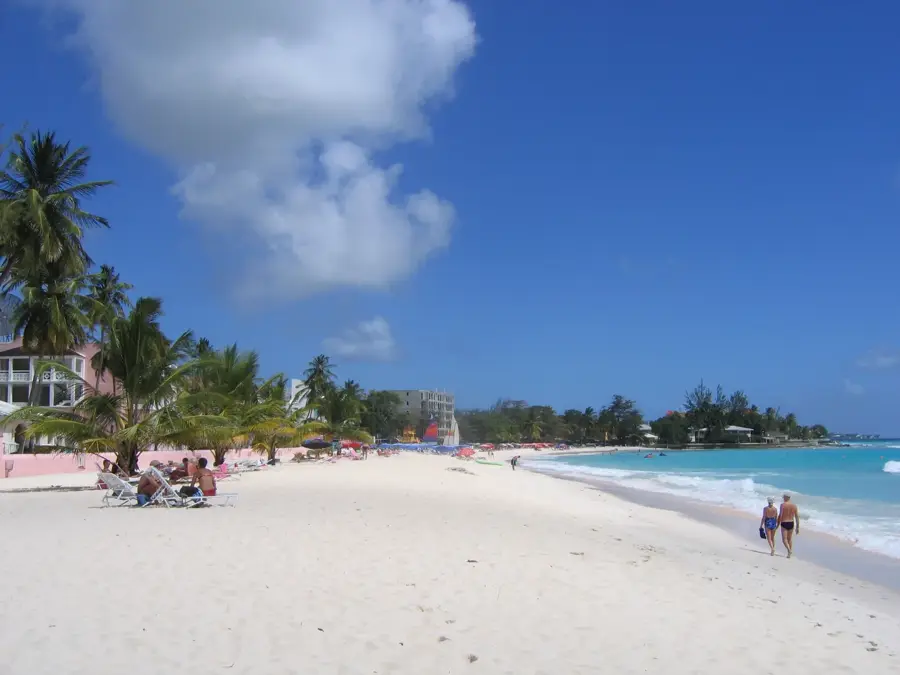
Pico Teneriffe is a prominent limestone pinnacle located on the rugged northeast coast of Barbados, within the parish of Saint Peter. Rising nearly 100 meters directly from the Atlantic shoreline, it stands as a stark geographical landmark that differs significantly from the island's more typical low-lying coral formations. The peak was named by early colonial settlers who believed its jagged silhouette resembled the Teide volcano on the island of Tenerife in the Canaries. Geologically, it is part of the Scotland District, a region characterized by its folded rock layers and susceptibility to erosion, creating a landscape of steep ridges and deep valleys. The site gives a commanding view of the northern coastline, where the heavy Atlantic surf crashes against the base of the cliffs. While the ascent is challenging due to the loose limestone surface, the area remains a popular stop for those exploring the untamed beauty of the island's windward side, providing a dramatic backdrop for the surrounding coastal villages.
Best time to visit & climate
The most pleasant time to visit is Jan, Nov, Dec.
| Jan | Feb | Mar | Apr | May | Jun | Jul | Aug | Sep | Oct | Nov | Dec | |
|---|---|---|---|---|---|---|---|---|---|---|---|---|
| Avg °C | 22 | 26 | 30 | 33 | 33 | 31 | 28 | 27 | 27 | 28 | 26 | 23 |
| Rain mm | 1 | 0 | 2 | 9 | 38 | 97 | 178 | 255 | 121 | 25 | 1 | 0 |
📋 Practical info
Geography
Facts
- Height: 200 m
- Slope: 20°
- Fossils: over 10 species
- Flora: 50 plant species
- Distance to coast: 1 km
- Usage: birdwatching
Explore nearby
Notable places around
Route planner — Car & Motorhome
Where do you start? We build the route here, with stops and country notes along the way.
© OpenStreetMap contributors · OpenRouteService
Sights nearby
Frequently asked questions
What is Pico Teneriffe?
Is climbing the cliff allowed?
Why is it called Pico Teneriffe?
What can you see from there?
Is there easy access?
Pico Teneriffe: where is it located?
Pico Teneriffe: when is the best time to visit?
Pico Teneriffe: why is it worth visiting?

Nearby cities