Plizio Visual Lab
Bight of Acklins Lowlands

Weather…
Water temperature…
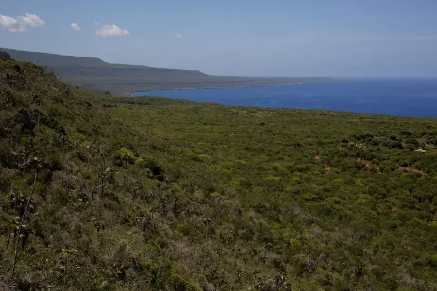
The Bight of Acklins is a vast, shallow lagoon encompassing approximately 1,300 square kilometers between the islands of Acklins, Crooked Island, and Long Cay. This lowland relief is characterized by extensive seagrass beds, mangrove forests, and shallow tidal flats that remain mostly submerged at high tide. Geologically, the bight sits atop a submerged carbonate platform that has been stable for millions of years, accumulating fine-grained sediments and organic matter. Historically, the area was significant for its salt ponds and natural sponges, which provided a livelihood for residents during the 19th and early 20th centuries. The low-lying terrain is highly sensitive to changes in sea level and serves as a vital nursery for marine life, including bonefish and green sea turtles. Numerous small cays are scattered across the bight, many of which provide nesting grounds for West Indian flamingos and other migratory birds. The calm waters contrast sharply with the turbulent Atlantic waves found on the eastern shore of Acklins. Today, the bight remains one of the most pristine and least disturbed coastal environments in the Bahamas, attracting ecotourists and marine biologists alike.
- Location: Bahamas
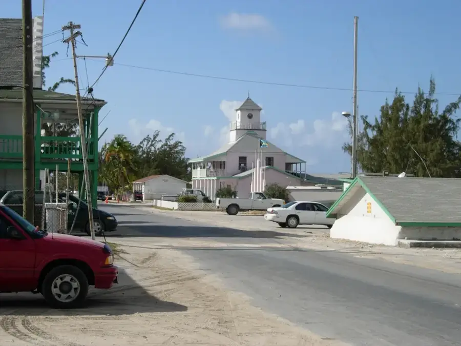
- Nearby: Lovely Bay (8 km)
Best time to visit & climate
The most pleasant time to visit is Jan–Mar.
| Jan | Feb | Mar | Apr | May | Jun | Jul | Aug | Sep | Oct | Nov | Dec | |
|---|---|---|---|---|---|---|---|---|---|---|---|---|
| Avg °C | 25 | 25 | 25 | 25 | 26 | 28 | 29 | 29 | 29 | 28 | 27 | 26 |
| Rain mm | 29 | 21 | 22 | 34 | 69 | 52 | 35 | 48 | 62 | 110 | 76 | 36 |
📋 Practical info
Geography
Facts
- The Bight of Acklins covers an area of approximately 500 square miles.
- The lagoon is rarely more than 2 to 3 meters deep at its center.
- Natural salt production was a major industry in the area during the 1800s.
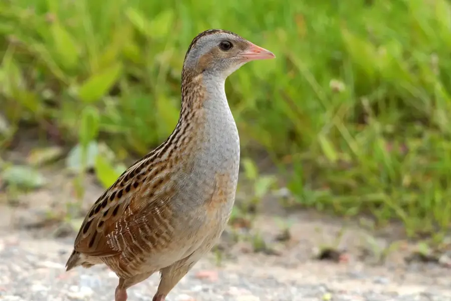
- The bight serves as a critical habitat for the endangered West Indian flamingo.
- Mangrove systems here filter sediments and protect against storm surges.
- Small islets called "cays" are scattered throughout the shallow waters.
Explore nearby
Notable places around
Route planner — Car & Motorhome
Where do you start? We build the route here, with stops and country notes along the way.
© OpenStreetMap contributors · OpenRouteService
Sights nearby
Frequently asked questions
What are the Acklins Bight lowlands?
Is the area swampy?
Can you fish for bonefish there?
How do you get there?
What animals live in the lowlands?
Bight of Acklins Lowlands: where is it located?
Bight of Acklins Lowlands: when is the best time to visit?
Bight of Acklins Lowlands: why is it worth visiting?

Nearby cities


History & landmarks

Nature
More places