Plizio Visual Lab
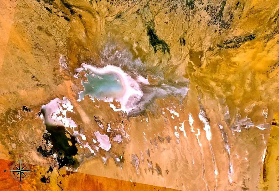
Chott Melrhir

Weather…
Water temperature…
The relief of Chott Melrhir is characterized by a massive endorheic depression marking the lowest topographical point in Algeria. The depression spans a wide area in the northeastern part of the Algerian Sahara and lies on average about 40 meters below sea level. Geologically, it is a closed basin where sediments and salts have accumulated over millennia because there is no outlet to the sea. The relief is largely flat and covered by a hard salt crust that cracks upon drying, forming polygonal patterns. The edges of the depression rise gently, transitioning into the surrounding desert plateaus and the foothills of the Aurès Mountains. During the rainy season, the relief briefly transforms into a shallow aquatic landscape, which quickly disappears due to the extreme evaporation rates in the region. This topographical peculiarity influences the local climate and leads to the formation of salt steppes in the transition zones.
- Location: Algeria
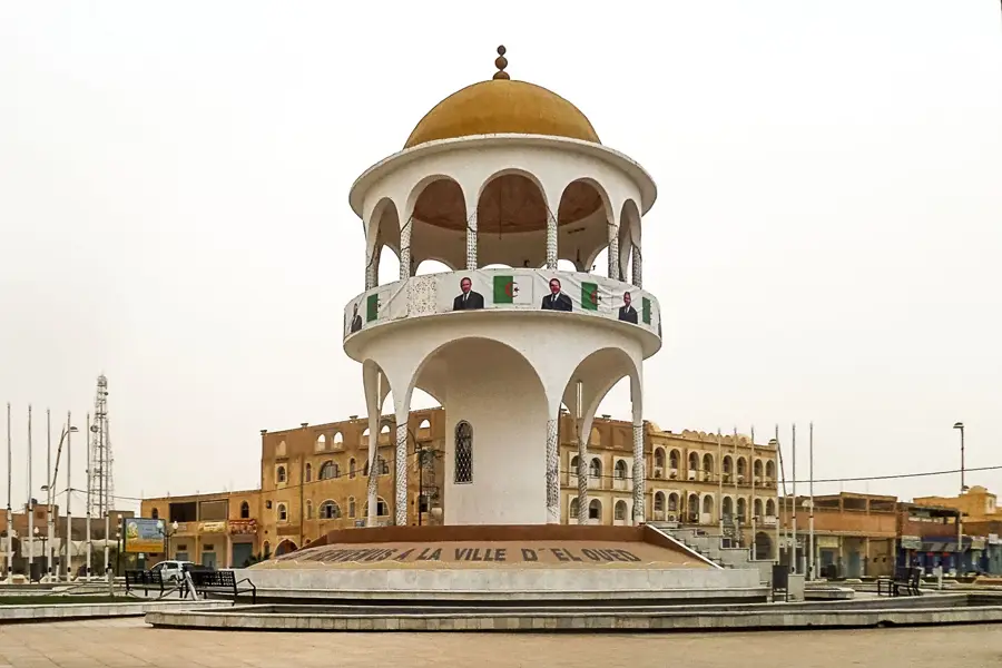
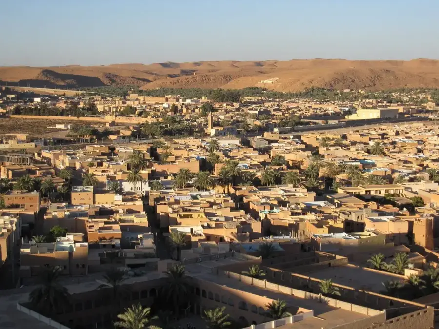
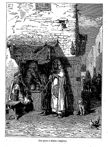
- Nearby: Biskra (66 km)
Best time to visit & climate
The most pleasant time to visit is Mar, Apr, Oct.
| Jan | Feb | Mar | Apr | May | Jun | Jul | Aug | Sep | Oct | Nov | Dec | |
|---|---|---|---|---|---|---|---|---|---|---|---|---|
| Avg °C | 11 | 13 | 17 | 22 | 26 | 32 | 35 | 34 | 30 | 24 | 17 | 12 |
| Rain mm | 19 | 7 | 16 | 17 | 10 | 5 | 1 | 7 | 17 | 12 | 13 | 11 |
📋 Practical info
Geography
Facts
- The depression lies exactly 40 meters below global sea level.
- The basin has an east-west extent of approximately 130 kilometers.
- The thickness of sediment layers in the basin reaches over 100 meters in places.
- Geomorphologically, the area is defined as a 'sebkha'.
- Chott Melrhir is part of a larger rift system in North Africa.
- The relief prevents surface water from flowing into the Mediterranean Sea.
Explore nearby
Notable places around
Route planner — Car & Motorhome
Where do you start? We build the route here, with stops and country notes along the way.
© OpenStreetMap contributors · OpenRouteService
Sights nearby
Frequently asked questions
What shape is the Chott Melrhir basin?
Is the terrain walkable?
What is the climate like there?
Is there any economic use?
Can vehicles cross the Chott?
Chott Melrhir: where is it located?
Chott Melrhir: when is the best time to visit?
Chott Melrhir: why is it worth visiting?

Nearby cities
Nature
More places