Plizio Visual Lab
Chott Melrhir
Weather…
Water temperature…
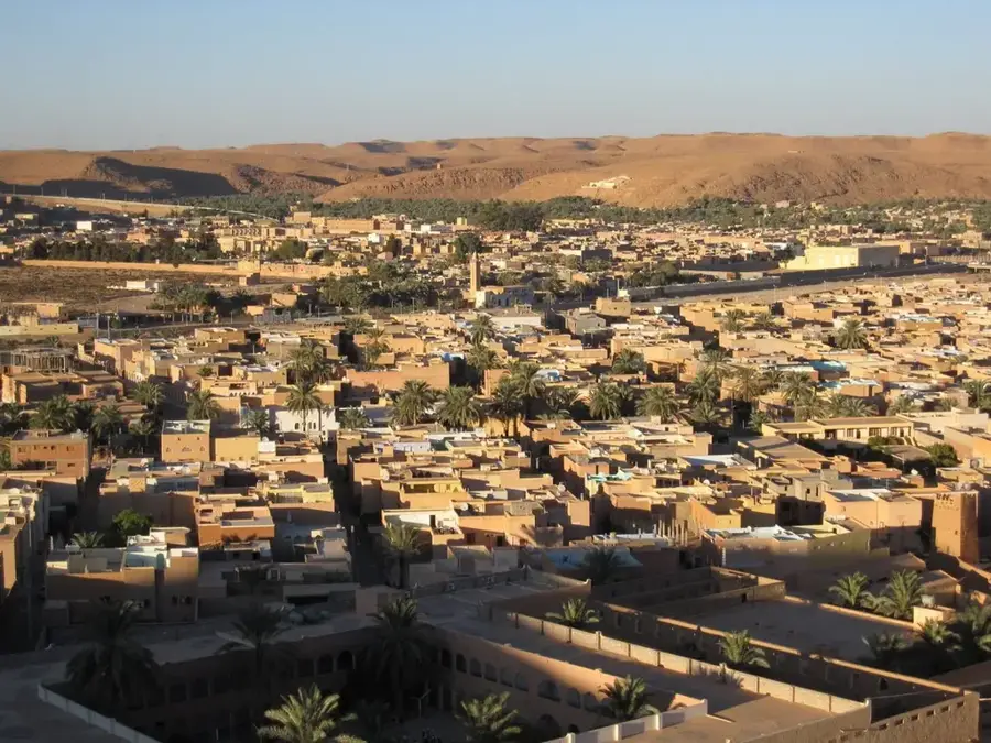
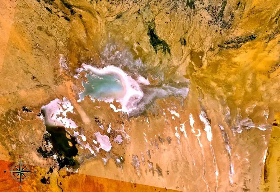
Chott Melrhir is an endorheic salt lake in northeastern Algeria and serves as an ecologically significant wetland amidst the arid Sahara. Located approximately 40 meters below sea level, it represents the lowest point in the country. The basin fills only seasonally following heavy rains, with water brought from the Aurès Mountains through various wadis such as Wadi Jeddi. During the dry months, the water evaporates almost entirely, leaving behind a vast, shimmering salt crust that forms a stark yet fascinating landscape. Since 2003, the lake has been protected as a Ramsar site because it plays a critical role as a resting point for numerous migratory bird species, including greater flamingos. The surrounding vegetation is highly adapted to high salinity, consisting primarily of halophytes that can survive in this extreme microclimate. Human activities are restricted to traditional salt mining and very sparse nomadic livestock herding in the marginal areas.
- Location: Algeria
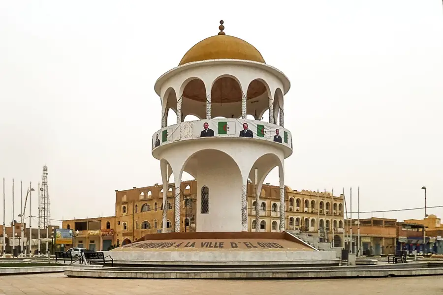
- Nearby: Biskra (87 km)
📋 Practical info
Geography
Facts
- The lake is located 40 meters below sea level at its lowest point.
- The maximum surface area of the water reaches approximately 6,700 square kilometers.
- The area was officially designated as a Ramsar wetland site in 2003.
- Wadi Jeddi is the longest seasonal river that feeds the basin with rainwater.
- The salt crust can reach a thickness of several centimeters during the dry summer.
- In wet years, the lake serves as a significant breeding ground for greater flamingos.
Explore nearby
Notable places around
Route planner — Car & Motorhome
Where do you start? We build the route here, with stops and country notes along the way.
© OpenStreetMap contributors · OpenRouteService
Sights nearby
Frequently asked questions
What is special about Chott Melrhir?
Can you swim in the lake?
When does the lake contain water?
How do you reach the region?
Is there vegetation there?
Chott Melrhir: where is it located?
Chott Melrhir: why is it worth visiting?

Nearby cities
More places