Plizio Visual Lab
Hoggar Mountains
Weather…
Water temperature…
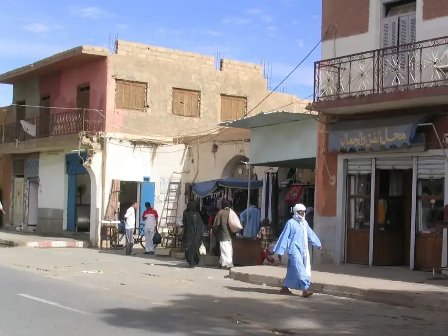
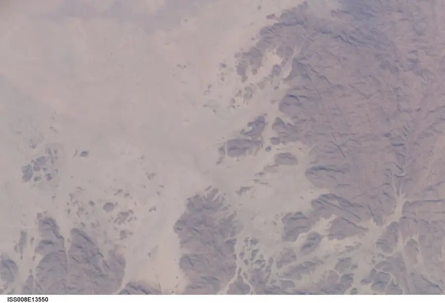
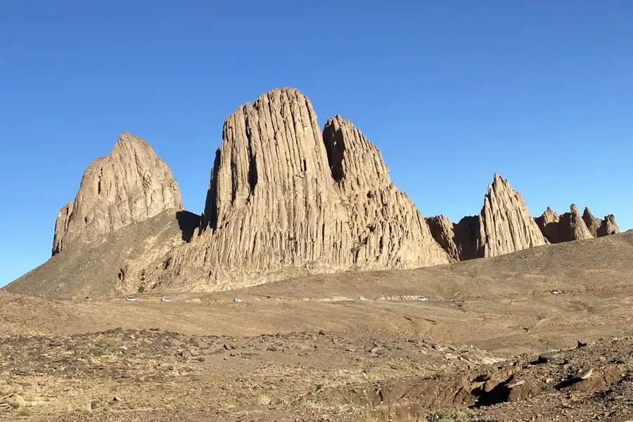
The Hoggar Massif, also known as Ahaggar, is a monumental highland region in the heart of the Algerian Sahara, located about 1,500 kilometers south of the capital, Algiers. This geologically fascinating mountain range is composed predominantly of metamorphic rocks pierced by massive volcanic formations. The landscape is characterized by bizarre basalt needles, expansive plateaus, and deeply incised gorges shaped by millions of years of erosion. In the center of the massif lies the Atakor volcanic field, which includes Algeria's highest peak, Djebel Tahat. The region is not only geologically significant but also the home of the Tuareg people, whose culture is closely tied to this barren mountain environment. Due to the extreme elevation, the climate here is significantly milder than in the surrounding lowland desert, occasionally allowing for frost in winter. As part of the Ahaggar National Park, the massif is under special protection to preserve its unique topography and cultural heritage.
- Location: Algeria
- Top sights: Tinra · Aouknet · Tamehadjné
- Nearby: Assekrem (15 km)
Best time to visit & climate
The most pleasant time to visit is Apr, May, Oct.
| Jan | Feb | Mar | Apr | May | Jun | Jul | Aug | Sep | Oct | Nov | Dec | |
|---|---|---|---|---|---|---|---|---|---|---|---|---|
| Avg °C | 10 | 13 | 17 | 21 | 25 | 27 | 27 | 26 | 25 | 21 | 16 | 12 |
| Rain mm | 3 | 2 | 7 | 1 | 4 | 11 | 22 | 61 | 17 | 11 | 2 | 3 |
📋 Practical info
Geography
Facts
- The Hoggar Massif covers an area of approximately 450,000 square kilometers.
- The highest peak is Djebel Tahat, reaching an elevation of 2,908 meters.
- The city of Tamanrasset serves as the primary gateway to the mountain range.
- Some volcanic cones in the Atakor field are less than 2 million years old.
- Neolithic rock art depicting gazelles and cattle has been found in the massif.
- The region consists of Precambrian rocks that are over 600 million years old.
Explore nearby
Notable places around
Route planner — Car & Motorhome
Where do you start? We build the route here, with stops and country notes along the way.
© OpenStreetMap contributors · OpenRouteService
Sights in the town Hoggar Mountains (3)
Sights nearby
Frequently asked questions
Where is the Hoggar Massif located?
What is the highest peak?
Who lives in this region?
What is the Assekrem Pass?
Is the mountain range of volcanic origin?
Hoggar Mountains: where is it located?
Hoggar Mountains: what is there to see?
Hoggar Mountains: when is the best time to visit?
Hoggar Mountains: why is it worth visiting?