Plizio Visual Lab
Djebel Tahat

Weather…
Water temperature…
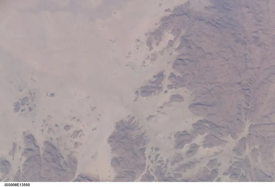
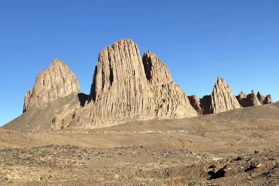
Djebel Tahat, standing at an elevation of 2,908 meters, is the highest peak in Algeria, located in the central Hoggar Massif of the Sahara. It is of volcanic origin and towers over the Atakor Plateau, a region characterized by prominent basalt formations and solidified lava flows. The mountain formed during a tectonic uplift phase in the Tertiary period, accompanied by intensive volcanism. Climbing the summit gives an extensive panoramic view across the inhospitable yet majestic desert landscape of the Ahaggar National Park. Despite its tropical location, temperatures at the summit can drop below freezing in winter, and light snowfall has occasionally been documented. Vegetation on Djebel Tahat is very sparse due to extreme aridity and altitude, though rare high-mountain plants can be found in sheltered spots. For the local Tuareg people, the mountain holds great cultural significance and serves as a central landmark in the vast Central Sahara.
- Location: Algeria
- Top sights: Tâlek · Serdjat · Junction to Mount Tahat
- Nearby: Assekrem (12 km)
Best time to visit & climate
The most pleasant time to visit is Mar, Apr, Oct.
| Jan | Feb | Mar | Apr | May | Jun | Jul | Aug | Sep | Oct | Nov | Dec | |
|---|---|---|---|---|---|---|---|---|---|---|---|---|
| Avg °C | 11 | 13 | 17 | 22 | 26 | 28 | 29 | 27 | 26 | 22 | 17 | 13 |
| Rain mm | 2 | 1 | 7 | 1 | 3 | 9 | 20 | 53 | 18 | 11 | 2 | 2 |
📋 Practical info
Geography
Facts
- The official height of Djebel Tahat is 2,908 meters above sea level.
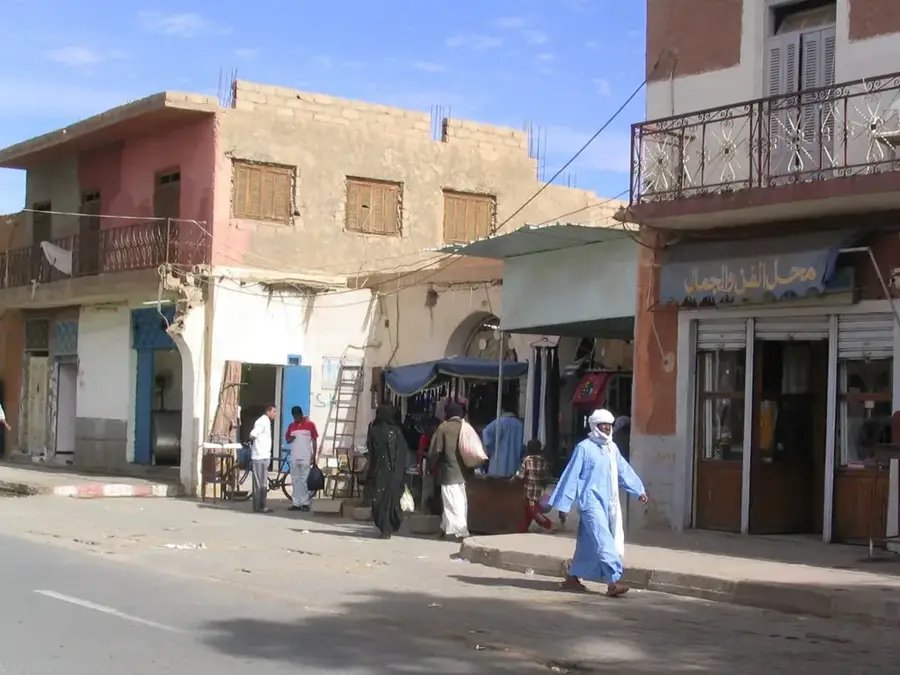
- The mountain is located about 60 kilometers north of the city of Tamanrasset.
- It is part of the Atakor volcanic field, which was active during the Tertiary.
- Djebel Tahat is the highest point of the entire Hoggar Massif.
- Geologically, the mountain peak consists predominantly of rhyolite and phonolite.
- The first ascent by Europeans occurred in the early 1930s.
Explore nearby
Notable places around
Route planner — Car & Motorhome
Where do you start? We build the route here, with stops and country notes along the way.
© OpenStreetMap contributors · OpenRouteService
Sights in the town Djebel Tahat (4)
Sights nearby
Frequently asked questions
How high is Djebel Tahat?
Is the climb difficult?
When should you climb the mountain?
Is there snow on the summit?
Which city is closest?
Djebel Tahat: where is it located?
Djebel Tahat: what is there to see?
Djebel Tahat: when is the best time to visit?
Djebel Tahat: why is it worth visiting?