Plizio Visual Lab
Murghab
Weather…
Water temperature…
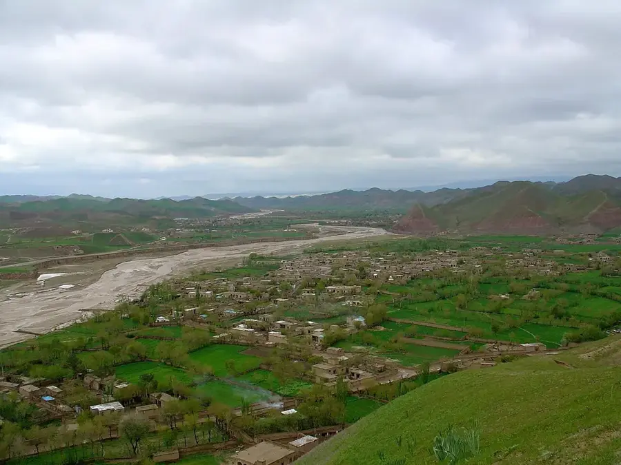
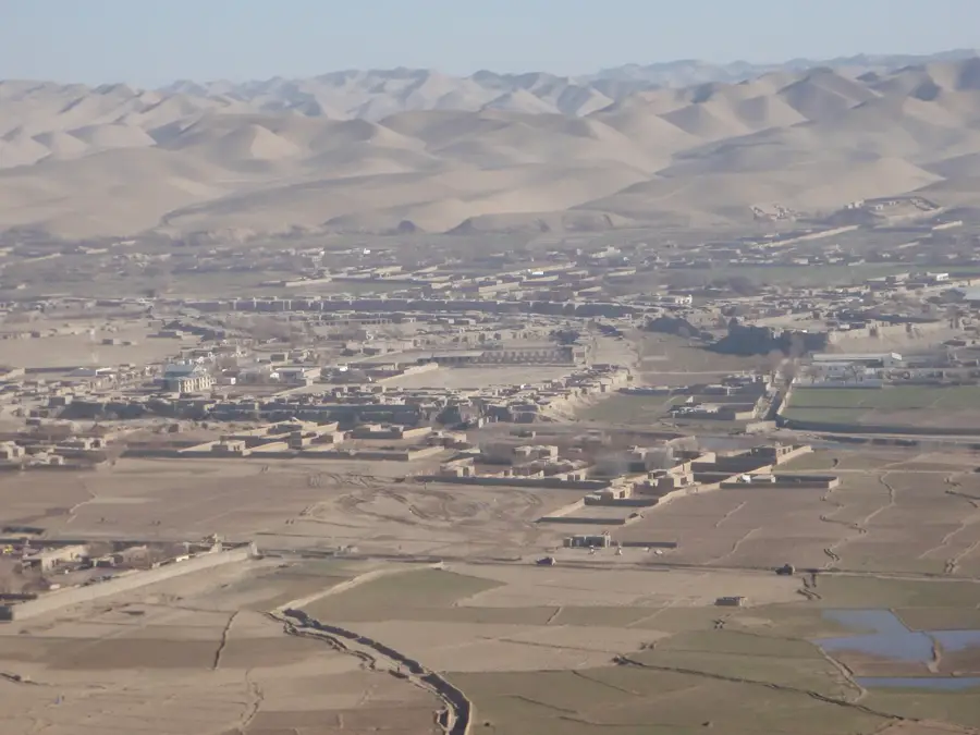
The Murghab River is a major waterway in Central Asia, originating in the western Hindu Kush mountains of Afghanistan. Spanning a total length of approximately 850 kilometers, it flows northwest through the Badghis province before crossing the border into Turkmenistan. In Turkmenistan, the river creates a vital oasis in the arid lowlands and eventually dissipates into the sands of the Karakum Desert, never reaching the sea. The Murghab is indispensable for agricultural irrigation in the region, particularly for the cultivation of cotton and cereals. Historically, the Murghab delta was the center of the ancient Margiana civilization, whose ruins are located near the city of Mary. The river's water flow is largely determined by snowmelt in the Afghan highlands, resulting in significant seasonal fluctuations. Due to intensive use for irrigation projects, ecosystem protection and equitable water distribution are critical issues in the relations between the riparian states.
Best time to visit & climate
The most pleasant time to visit is May, Aug, Sep.
| Jan | Feb | Mar | Apr | May | Jun | Jul | Aug | Sep | Oct | Nov | Dec | |
|---|---|---|---|---|---|---|---|---|---|---|---|---|
| Avg °C | 1 | 3 | 9 | 14 | 20 | 24 | 25 | 23 | 19 | 14 | 7 | 3 |
| Rain mm | 36 | 44 | 42 | 27 | 8 | 1 | 0 | 0 | 0 | 4 | 28 | 31 |
📋 Practical info
Geography
Facts
- Total length of the river: approx. 850 km
- Drainage basin covers about 46,880 km²
- Mouth: Ends blindly in the Karakum Desert
- Most important tributary: The Kashkan River
- Average discharge: approx. 52 m³/s at the border
- Historical context: Core of the ancient Merv oasis
Explore nearby
Notable places around
Route planner — Car & Motorhome
Where do you start? We build the route here, with stops and country notes along the way.
© OpenStreetMap contributors · OpenRouteService
Sights in the town Murghab (1)
Sights nearby
Frequently asked questions
What is the Murgab?
When is the river most photogenic?
Is this a good place for a short stop?
What is the Murgab known for?
How much time do you need?
Murghab: where is it located?
Murghab: when is the best time to visit?
Murghab: why is it worth visiting?