Plizio Visual Lab
Jabal Iraf
Weather…
Water temperature…
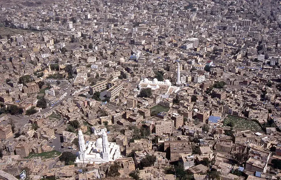
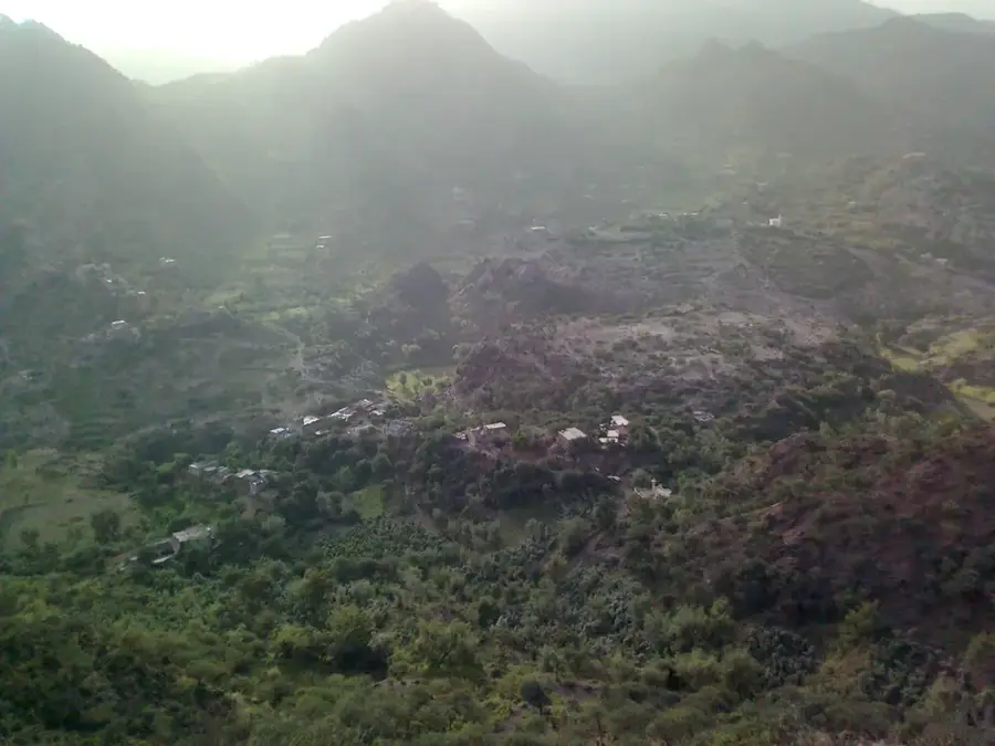
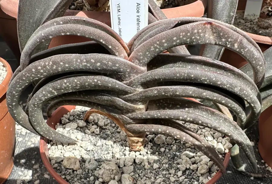
Jabal Iraf is a prominent mountain range located in the Lahij Governorate of southwestern Yemen, forming part of the extensive Western Highlands. Reaching elevations of over 2,000 meters above sea level, the massif is characterized by its rugged limestone terrain and steep escarpments that overlook the coastal plains. The area benefits from a unique microclimate where high-altitude mists provide enough moisture to support a diverse range of endemic flora, including succulent plants and acacia trees. Historically, the mountain has served as a strategic stronghold for local tribes, providing a natural defense against invading forces throughout various regional conflicts. The geological composition of Jabal Iraf is linked to the tectonic movements of the Red Sea Rift, showcasing complex folding and faulting patterns. Today, the mountain remains a site of ecological importance, though its remote location and difficult terrain keep it largely isolated from modern infrastructure developments.
- Location: Yemen
- Top sights: Jabal ad Da`if · Jabal as Siji · Jabal Qarfan
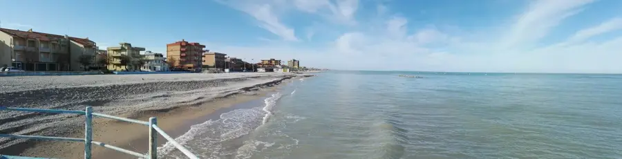
- Nearby: Mocha (67 km)
Best time to visit & climate
The most pleasant time to visit is Jan, Feb, Dec.
| Jan | Feb | Mar | Apr | May | Jun | Jul | Aug | Sep | Oct | Nov | Dec | |
|---|---|---|---|---|---|---|---|---|---|---|---|---|
| Avg °C | 23 | 24 | 26 | 28 | 31 | 32 | 31 | 30 | 31 | 28 | 26 | 24 |
| Rain mm | 3 | 2 | 6 | 21 | 17 | 23 | 28 | 41 | 33 | 14 | 4 | 7 |
📋 Practical info
Geography
Facts
- Jabal Iraf is located within the Lahij Governorate in southwestern Yemen.
- The mountain's peak reaches an altitude of approximately 2,400 meters.
- It belongs to the Western Highlands geological province of Yemen.
- The massif acts as a rain catcher for moisture from the Arabian Sea.
- Indigenous tribes have used the mountain as a fortress for centuries.
- The terrain features sharp limestone ridges and deep natural canyons.
Explore nearby
Notable places around
Route planner — Car & Motorhome
Where do you start? We build the route here, with stops and country notes along the way.
© OpenStreetMap contributors · OpenRouteService
Sights in the town Jabal Iraf (4)
Sights nearby
Frequently asked questions
How demanding is a hike to Jabal Iraf?
Do you need special equipment?
Are there mountain huts?
Is the area known among locals?
Can you do the hike in one day?
Jabal Iraf: where is it located?
Jabal Iraf: what is there to see?
Jabal Iraf: when is the best time to visit?
Jabal Iraf: why is it worth visiting?

Nearby cities

History & landmarks

More places