Plizio Visual Lab
Móng Cái
ℹ️Practical info — Móng Cái
▾
🌤 Weather — 5 days
📍 Nearby
Sights nearby
💡 Tips
- Visit Sa Vĩ Cape, the northeasternmost point of Vietnam, for an impressive sunrise view right by the border.
- Do your shopping at the Central Market in the morning, as many cross-border traders close their stalls by early afternoon.
- Take the new expressway from Hanoi to reduce the travel time to about 3 or 4 hours.
- Be aware that the border gate to China usually closes around 8 PM Vietnam time.
- For a beach day, visit Trà Cổ between May and August for the best swimming conditions.
🍽 Food
A savory vermicelli soup with stone crab meat, popular at local breakfast spots near the coast.
A unique crossbreed of duck and goose; try it roasted with a special ginger-infused fish sauce.
Thanks to the border influence, you can find authentic Chinese-style roasted duck in the city center restaurants.
🛍 Shopping · 🧘 Quiet spots
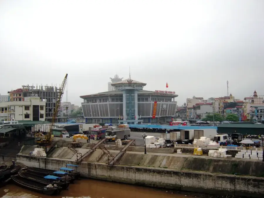
The place to find everything from electronics to Chinese silks and spices.
Great for evening souvenirs and tasting various street food snacks in the city center.
Explore shops specializing in Chinese imported goods and household appliances.
A beautiful century-old Gothic-style church surrounded by a peaceful garden.
Head to the memorial park late in the afternoon for a quiet view of the sea border.
Take a short boat trip to this secluded island for quiet beaches and a scenic lighthouse.
Water temperature…
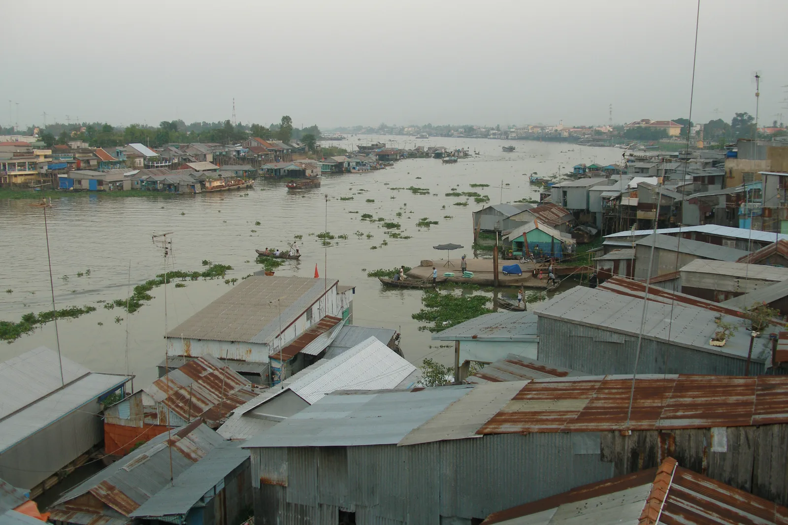
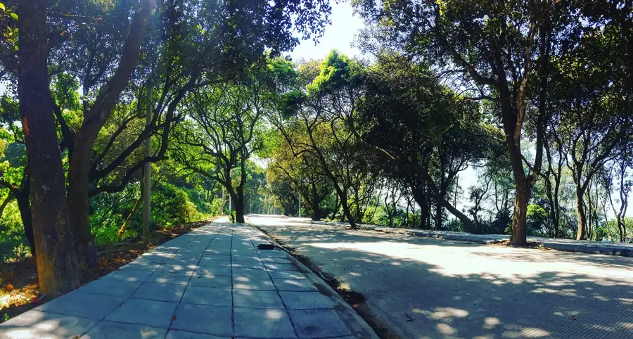
Móng Cái is a pivotal border city located in the northeastern corner of Vietnam within Quảng Ninh Province, directly adjacent to the Chinese border. The city sits on the banks of the Ka Long River, which serves as a natural boundary and a historic conduit for trade with the neighboring Chinese city of Dongxing. Geographically, it is distinguished by its coastal location along the Gulf of Tonkin, featuring the Trà Cổ beach, which stretches for nearly 17 kilometers and is renowned as one of the country's longest natural beaches. The city's history is characterized by its transformation from a modest trading post into a major special economic zone, officially achieving city status in 2008. A site of great national significance is Sa Vĩ Cape, representing the northeasternmost point of mainland Vietnam and housing a landmark monument. Today, Móng Cái thrives as a commercial hub and a developing tourist destination, playing a crucial role in the economic integration of the region through its modern port and border infrastructure.
- Location: Vietnam
- Nearby: Minh Châu (51 km)
- Population: ~108.553 (2025)
Best time to visit & climate
The most pleasant time to visit is Feb, Mar, Nov.
| Jan | Feb | Mar | Apr | May | Jun | Jul | Aug | Sep | Oct | Nov | Dec | |
|---|---|---|---|---|---|---|---|---|---|---|---|---|
| Avg °C | 15 | 17 | 20 | 23 | 27 | 29 | 29 | 29 | 28 | 25 | 21 | 17 |
| Rain mm | 44 | 27 | 46 | 62 | 131 | 235 | 325 | 296 | 183 | 106 | 47 | 29 |
Geography
Facts
- Official city status was granted in the year 2008.
- The Ka Long Bridge was constructed back in 1952.
- Trà Cổ beach spans a total length of 17 kilometers.
- Sa Vĩ Cape marks the northeasternmost point of Vietnam.
- Bắc Luân border gate is a major international gateway.
- The city covers an administrative area of 518 square kilometers.
Explore nearby
Notable places around
Route planner — Car & Motorhome
Where do you start? We build the route here, with stops and country notes along the way.
© OpenStreetMap contributors · OpenRouteService
Sights in the town Móng Cái (1)
Frequently asked questions
What is Móng Cái?
What are the beaches like there?
Is a visa required for the border?
What can you buy there?
How is the atmosphere?
Móng Cái: where is it located?
Móng Cái: when is the best time to visit?
Móng Cái: why is it worth visiting?

Nearby cities