Plizio Visual Lab
Bering Sea
Weather…
Water temperature…
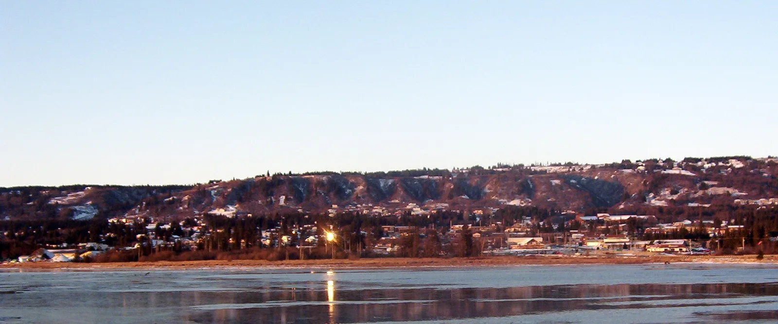
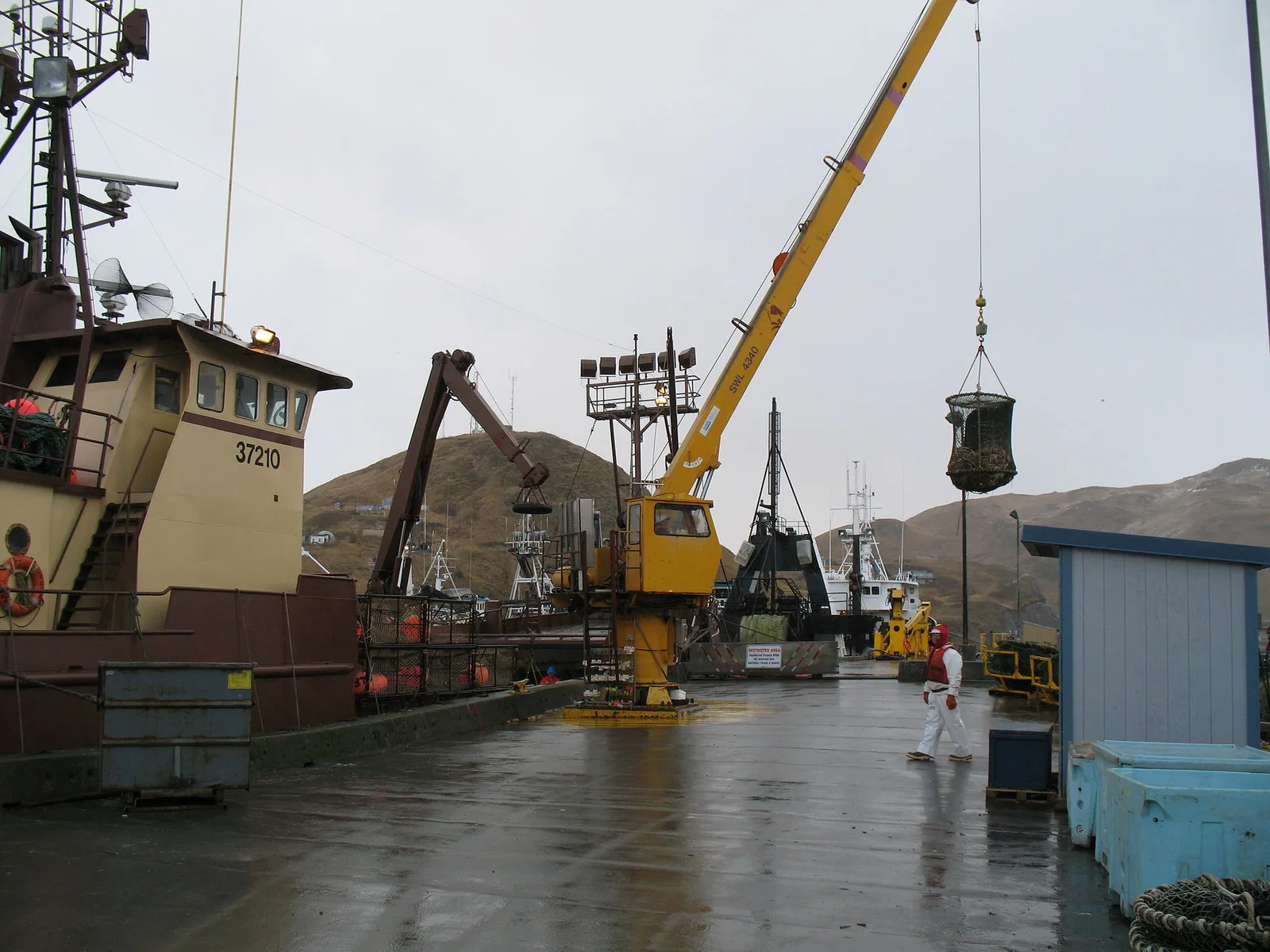
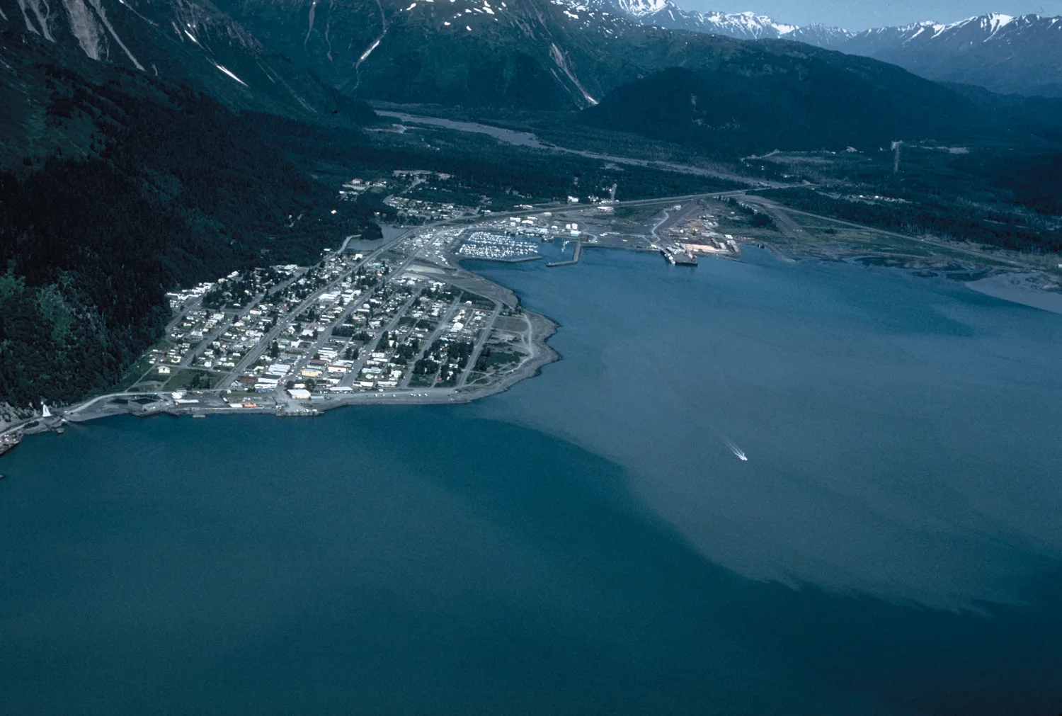
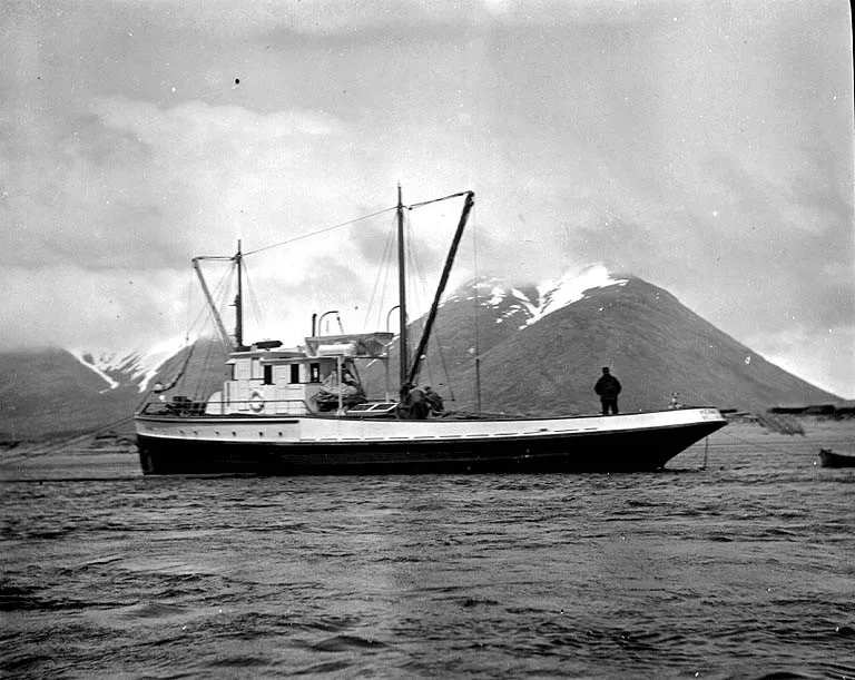
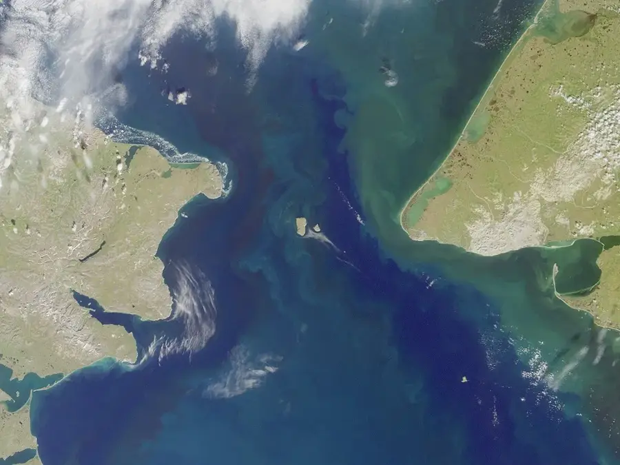
The Bering Sea is a marginal sea of the Northern Pacific Ocean, positioned between the continents of North America and Asia. It is bounded to the south by the Aleutian Islands and to the north by the Bering Strait, which connects it to the Arctic Ocean. Spanning approximately 770,000 square miles, the sea is characterized by one of the widest continental shelves in the world. This geographical feature promotes high biological productivity, making the Bering Sea one of the most productive commercial fishing grounds globally, particularly for king crab and pollock. Historically, the region is famous for the Bering Land Bridge, which allowed early humans to migrate from Siberia into Alaska during the last ice age. Today, the sea is a focal point for climate research as seasonal ice coverage significantly influences global ocean currents and maritime biodiversity.
Best time to visit & climate
The most pleasant time to visit is Jul–Sep.
| Jan | Feb | Mar | Apr | May | Jun | Jul | Aug | Sep | Oct | Nov | Dec | |
|---|---|---|---|---|---|---|---|---|---|---|---|---|
| Avg °C | -2 | -2 | -3 | -1 | 2 | 5 | 8 | 10 | 9 | 6 | 3 | 1 |
| Rain mm | 65 | 70 | 59 | 56 | 43 | 47 | 74 | 96 | 93 | 96 | 89 | 86 |
📋 Practical info
Geography
Facts
- Total surface area is approximately 770,000 square miles.
- The Bering Strait is only 51 miles (82 km) wide at its narrowest point.
- Contains the widest continental shelf in the world.
- Produces nearly 50% of all commercial fish caught in the US.
- Maximum depth reaches approximately 13,622 feet (4,151 meters).
- Home to more than 30 species of marine mammals.
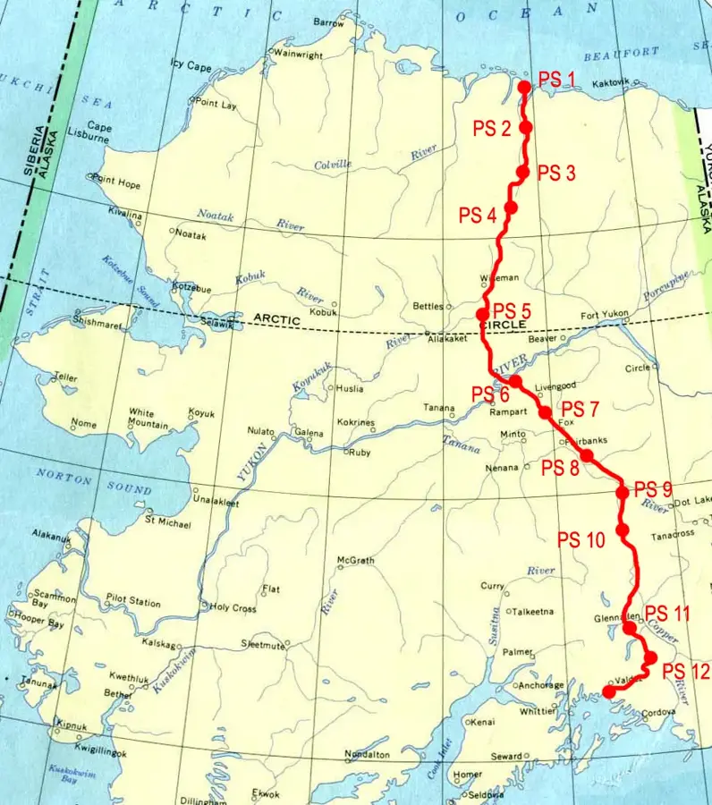
Route planner — Car & Motorhome
Where do you start? We build the route here, with stops and country notes along the way.
© OpenStreetMap contributors · OpenRouteService
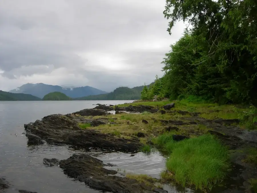
Sights nearby
Frequently asked questions
Can you take cruises there?
What is the weather like?
Are there polar bears there?
Is the area tourist-developed?
What is the best time to travel?
Bering Sea: where is it located?
Bering Sea: when is the best time to visit?
Bering Sea: why is it worth visiting?

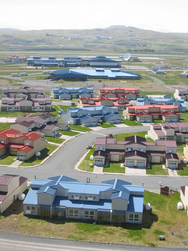
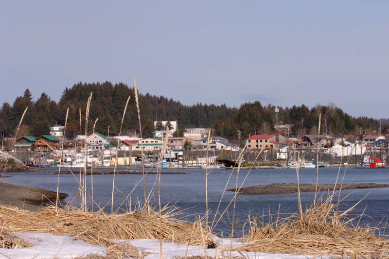
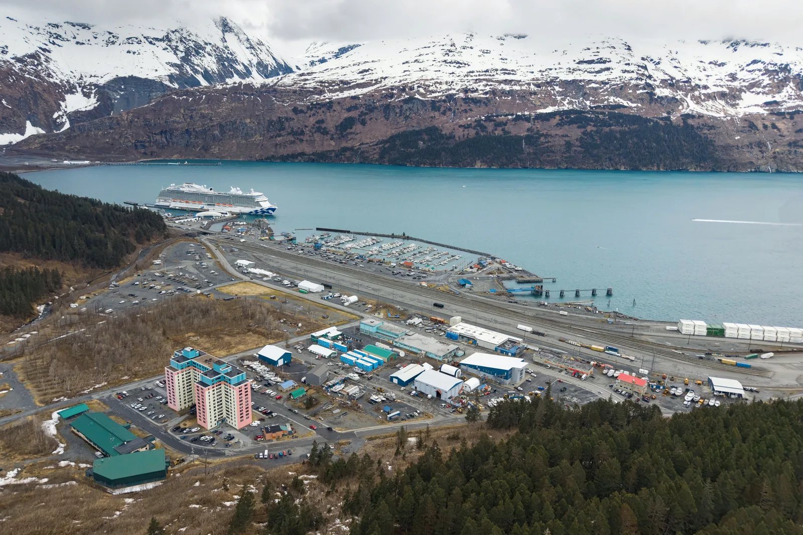
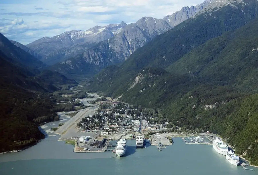
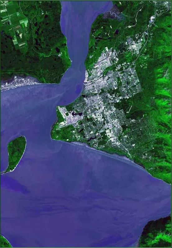
Nearby cities