Plizio Visual Lab
Djebel Mghila
Weather…
Water temperature…
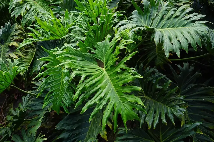
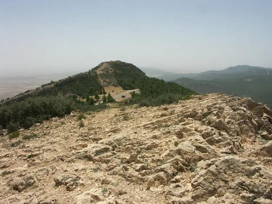
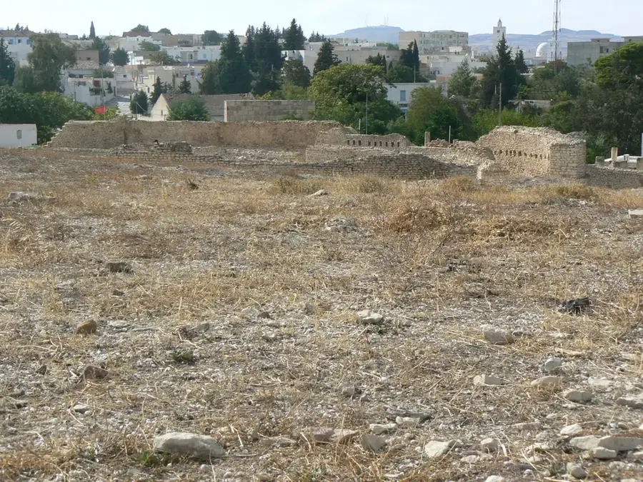
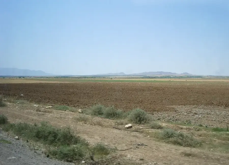
Djebel Mghila is a prominent mountain massif in central Tunisia, straddling the border between the Kasserine and Sidi Bouzid Governorates. Reaching a maximum elevation of 1,378 meters, it is one of the highest peaks in the country and is protected as part of the Djebel Mghila National Park. The area is characterized by exceptional biodiversity typical of Mediterranean mountain regions, featuring dense stands of Aleppo pine, holm oak, and juniper. The fauna includes rare species such as Barbary sheep, various gazelles, and several birds of prey that nest in its inaccessible rocky cliffs. Geologically, the mountain consists of massive Cretaceous limestone formations uplifted by tectonic forces. Beyond its ecological value, the mountain has held strategic importance throughout history, often serving as a stronghold or refuge. The climate is semi-arid, with occasional snow appearing on the highest summits during winter months. Today, the national park is a vital area for ecological research and gives challenging terrain for experienced hikers.
- Location: Tunisia
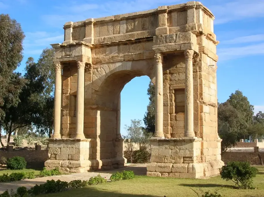
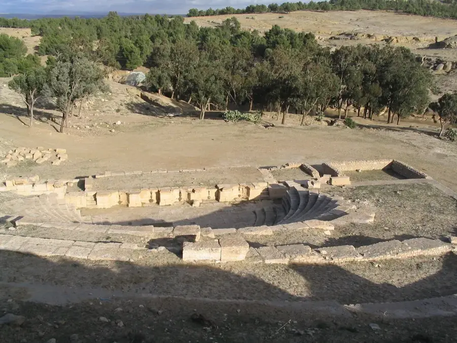
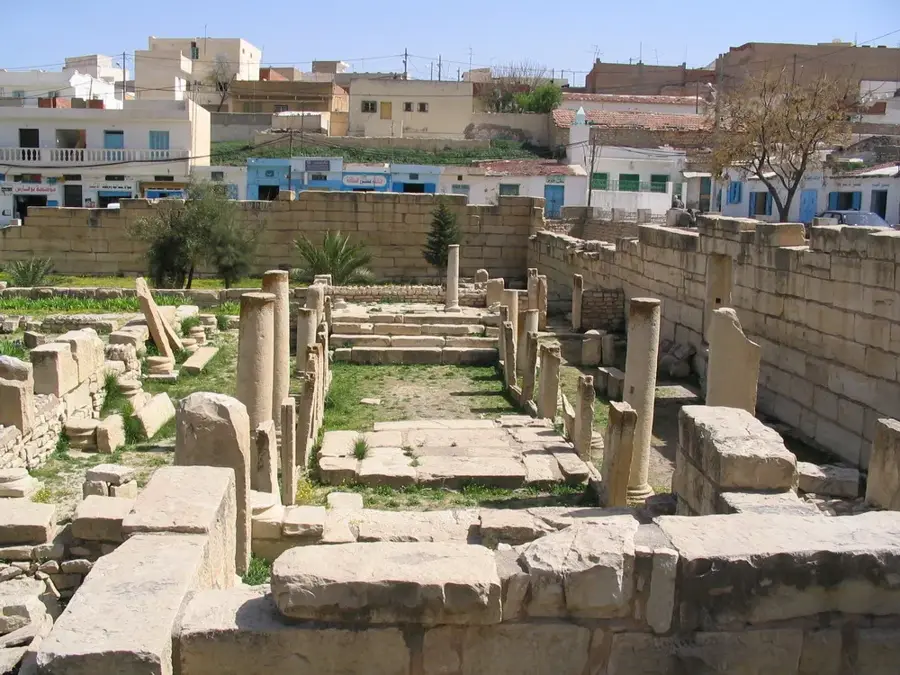
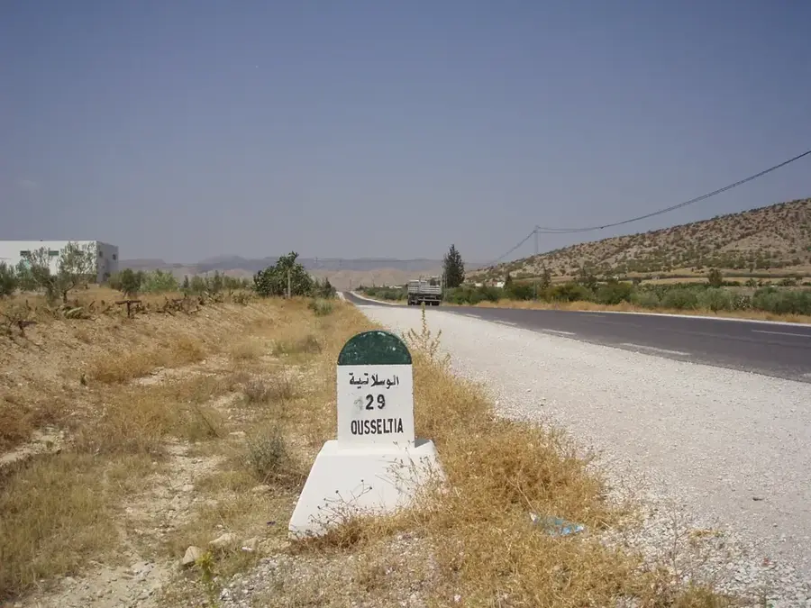
- Nearby: Sbeitla (14 km)
📋 Practical info
Geography
Facts
- Maximum elevation reaches 1,378 meters
- Established as a National Park to protect biodiversity
- Located on the border of Kasserine and Sidi Bouzid
- Home to rare Barbary sheep and gazelle species
- Vegetation includes dense Aleppo pine and holm oak
- Geological formation dates back to the Cretaceous period
Explore nearby
Notable places around
Route planner — Car & Motorhome
Where do you start? We build the route here, with stops and country notes along the way.
© OpenStreetMap contributors · OpenRouteService
Sights nearby
Frequently asked questions
Is Djebel Mghila a protected area?
When is the best time for wildlife viewing?
Can one camp there?
How is the access to the park?
Do you need a guide in the national park?
Djebel Mghila: where is it located?
Djebel Mghila: why is it worth visiting?

Nearby cities
More places