Plizio Visual Lab
Mount Manucoco
Weather…
Water temperature…
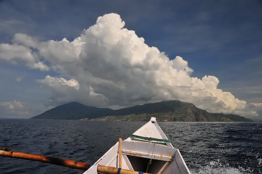
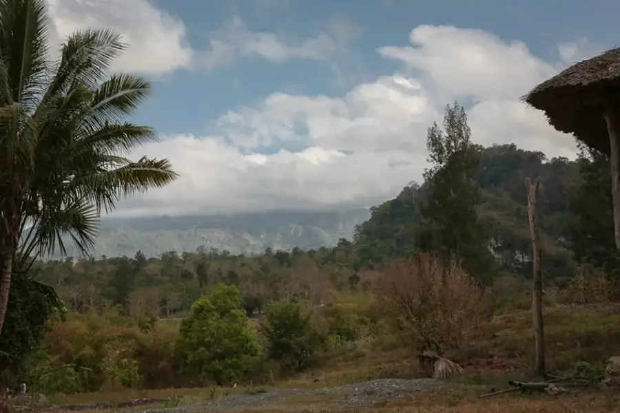
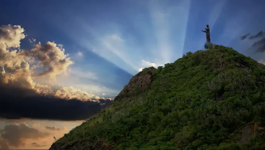
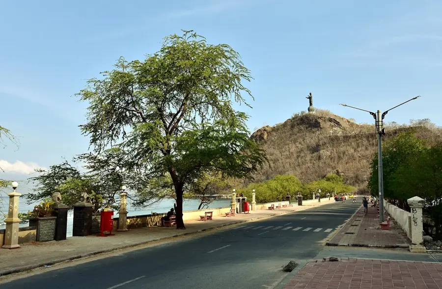
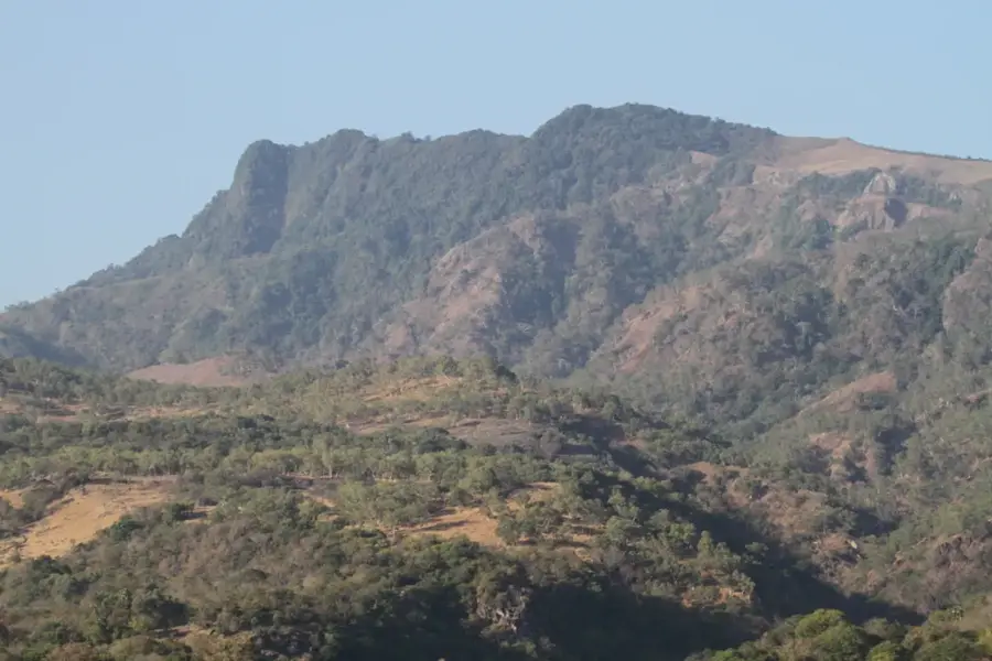
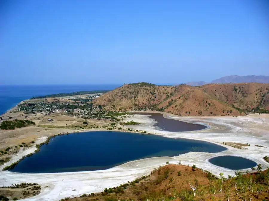
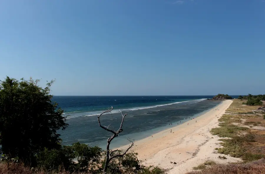
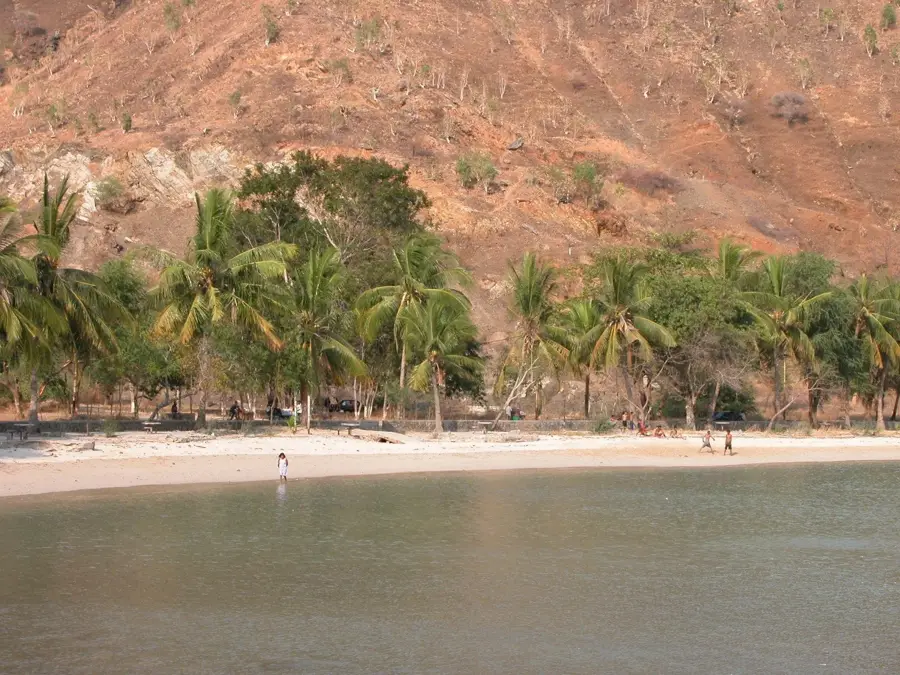
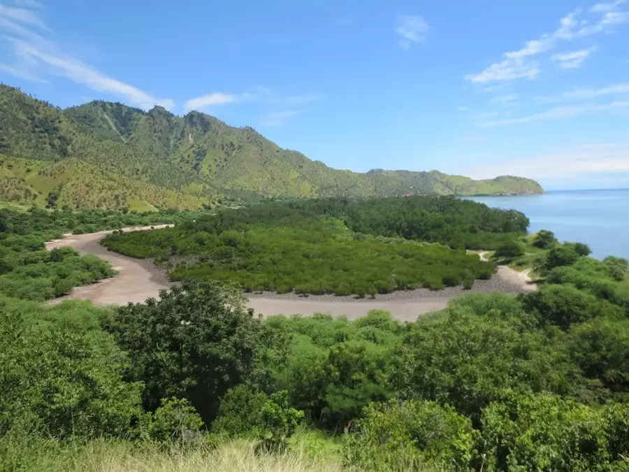
Mount Manucoco is the highest peak on Atauro Island, Timor-Leste, standing at an elevation of 995 meters. Located north of the capital city, Dili, this volcanic mountain forms the topographic backbone of the ecologically diverse island. Due to its isolation, the summit and upper slopes have preserved rare remnants of montane rainforest, which has been designated as an Important Bird Area (IBA) by BirdLife International. It serves as a sanctuary for endemic bird species, including the Atauro fruit dove, which is found nowhere else on Earth. Geographically, the ascent to the summit provides dramatic views across the Wetar Strait to the Timorese mainland. The steep slopes are marked by deep ravines and volcanic rock formations, reflecting the island's challenging water resource environment. For the people of Atauro, Manucoco is a sacred site deeply intertwined with their local identity and oral traditions. In recent years, the mountain has become a centerpiece for sustainable eco-tourism on Atauro, with guided treks promoted to support local livelihoods and conservation.
- Location: Timor-Leste
- Top sights: Pulau Atauro · trial waterfall close · trail hill start
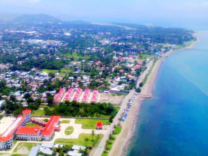
- Nearby: Vila de Ataúro (6 km)
Best time to visit & climate
The most pleasant time to visit is Jun–Aug.
| Jan | Feb | Mar | Apr | May | Jun | Jul | Aug | Sep | Oct | Nov | Dec | |
|---|---|---|---|---|---|---|---|---|---|---|---|---|
| Avg °C | 27 | 26 | 27 | 27 | 27 | 26 | 26 | 26 | 27 | 29 | 29 | 28 |
| Rain mm | 243 | 203 | 120 | 54 | 33 | 21 | 8 | 4 | 5 | 13 | 54 | 167 |
📋 Practical info
Geography
Facts
- Highest point on Atauro Island (995 meters)
- Volcanic origin and composition
- Designated as Important Bird Area TL14
- Home to the endemic Atauro fruit dove
- Overlooks the strategic Wetar Strait
- Considered a sacred mountain by locals
Explore nearby
Notable places around
Route planner — Car & Motorhome
Where do you start? We build the route here, with stops and country notes along the way.
© OpenStreetMap contributors · OpenRouteService
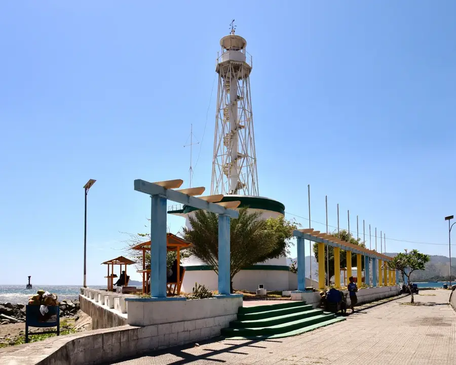
Sights in the town Mount Manucoco (3)
Sights nearby
Frequently asked questions
Is Berg Manucoco suitable for hiking beginners?
What to consider regarding equipment?
How long does a tour to the summit take?
Can you camp there?
Are there wild animals?
Mount Manucoco: where is it located?
Mount Manucoco: what is there to see?
Mount Manucoco: when is the best time to visit?
Mount Manucoco: why is it worth visiting?

Nearby cities
History & landmarks
Nature
More places