Plizio Visual Lab
Sengerema
ℹ️Practical info — Sengerema
▾
🌤 Weather — 5 days
📍 Nearby
Sights nearby
💡 Tips
- Take the Busisi Ferry from Mwanza; the crossing has the best views of Lake Victoria and is the most scenic way to arrive.
- Use boda-bodas (motorcycle taxis) for quick travel, but always negotiate and agree on the fare before starting your journey.
- Watch the loading of traditional pirogues at the lakeshore to understand the town's vital role as a regional trade hub.
- Visit during the dry season (June to September) to avoid muddy roads and enjoy the best conditions for exploring the hills.
- Carry small denominations of Tanzanian Shillings at all times, as the local economy is strictly cash-based.
🍽 Food
Try the fish caught daily from Lake Victoria, typically grilled and served at small eateries near the ferry landing.
Small sun-dried sardines often fried with onions and served with ugali; a true local staple of the lakeside community.
A ubiquitous Tanzanian street food-a French fry omelet-found at almost any roadside stall in the town center.
🛍 Shopping · 🧘 Quiet spots
The town's busiest hub, excellent for sourcing fresh tropical fruits, local spices, and animated Kitenge fabrics.
Purchase high-quality patterned cotton fabrics from market stalls; they make for excellent and authentic souvenirs.
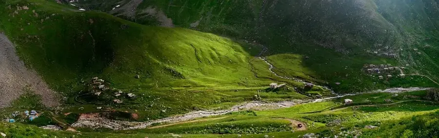
A hiking path through the hills surrounding the town, offering quiet solitude and panoramic views of Lake Victoria.
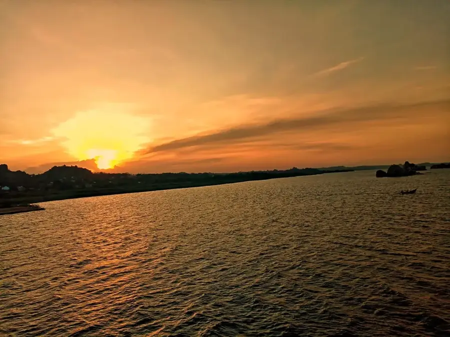
Walk along the quieter stretches of the shoreline away from the main port for a peaceful and scenic sunset.
Water temperature…
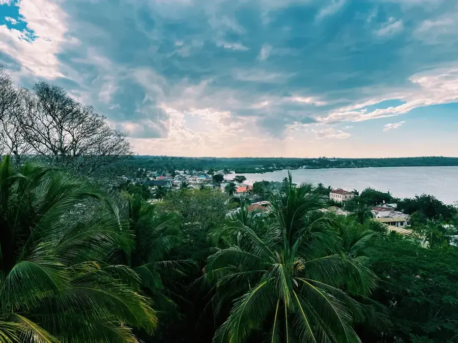
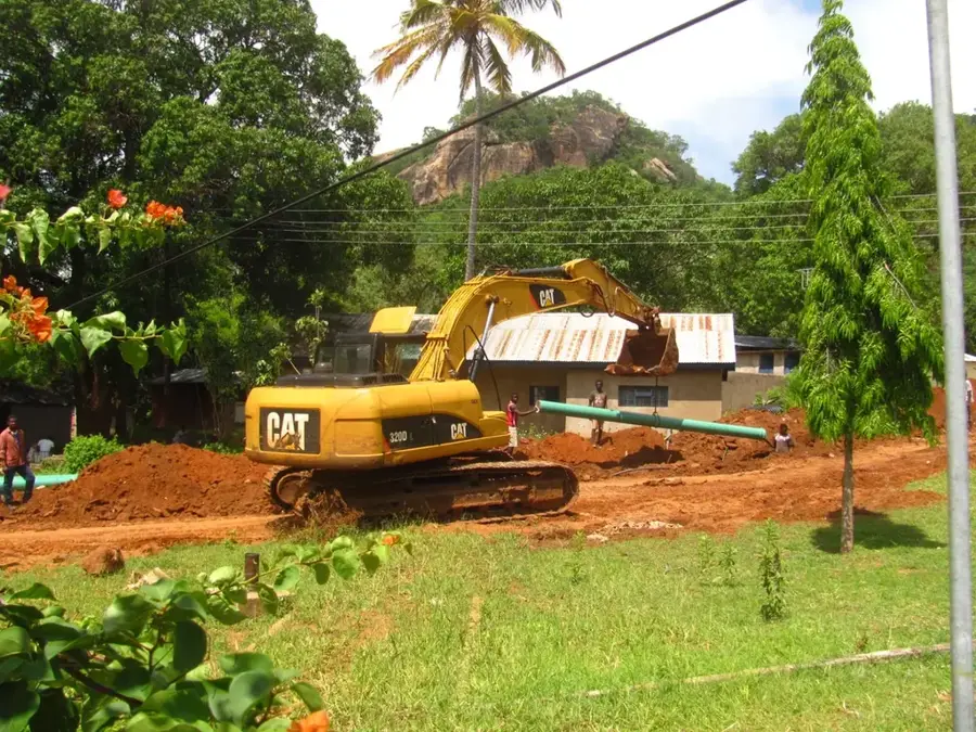
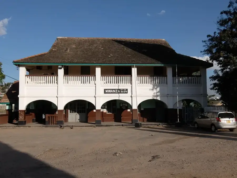
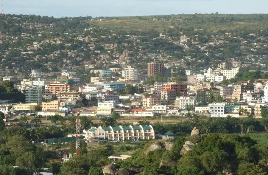
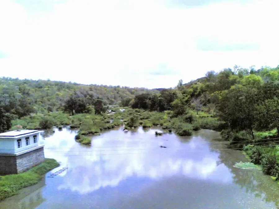
Sengerema is a rapidly growing town in the Mwanza Region of northern Tanzania, situated west of Lake Victoria. Serving as the administrative headquarters for the Sengerema District, the town benefits from its strategic position between the port city of Mwanza and the gold-rich regions of Geita. Economically, the area is heavily dependent on the primary sector, with cotton, maize, and rice cultivation, along with fishing in nearby Lake Victoria, serving as the main sources of livelihood. In recent decades, Sengerema has evolved into a significant trading post for artisanal mining supplies and agricultural produce. Infrastructure has been bolstered by the main road linking Mwanza to the western provinces and the borders of Rwanda and Burundi. Due to its proximity to the lake shore, the town also serves as a hub for local waterborne transport routes.
- Location: Tanzania
- Nearby: Mwanza (32 km)
- Population: ~110.000 (2024)
Best time to visit & climate
The most pleasant time to visit is Jun–Aug.
| Jan | Feb | Mar | Apr | May | Jun | Jul | Aug | Sep | Oct | Nov | Dec | |
|---|---|---|---|---|---|---|---|---|---|---|---|---|
| Avg °C | 24 | 24 | 24 | 23 | 23 | 23 | 23 | 24 | 25 | 24 | 23 | 23 |
| Rain mm | 87 | 80 | 140 | 144 | 72 | 18 | 12 | 33 | 60 | 124 | 191 | 132 |
Geography
Facts
- Sengerema is the administrative headquarters of the Sengerema District.
- The town is located approximately 35 kilometers west of the regional capital, Mwanza.
- Cotton is cultivated in the region as a major cash crop.
- The town's population is estimated to be over 75,000 residents.
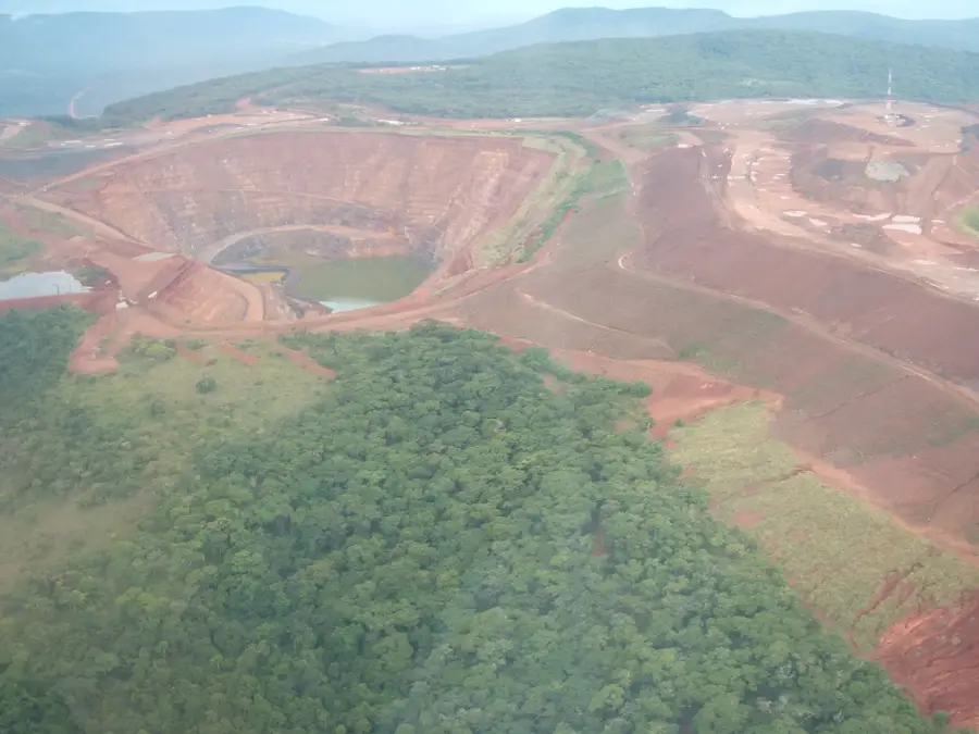
- Sengerema is situated in the transition zone towards the Geita goldfields.
- The district hosts one of the highest densities of schools in rural Tanzania.
Explore nearby
Notable places around
Route planner — Car & Motorhome
Where do you start? We build the route here, with stops and country notes along the way.
© OpenStreetMap contributors · OpenRouteService
Frequently asked questions
How much time should I plan for Sengerema?
When is the best time for Sengerema?
How to get to Sengerema?
What can I eat in Sengerema?
Is Sengerema family-friendly?
Sengerema: where is it located?
Sengerema: when is the best time to visit?
Sengerema: why is it worth visiting?

Nearby cities
History & landmarks
More places