Plizio Visual Lab
Ar-Rusairis
ℹ️Practical info — Ar-Rusairis
▾
🌤 Weather — 5 days
📍 Nearby
Sights nearby
💡 Tips
- Drink plenty of bottled water, as the climate is hot and dry year-round.
- Local transport relies heavily on shared minibuses; confirm your destination before boarding.
- Photography of government buildings, military sites, or infrastructure like the nearby dam is strictly prohibited.
- Bring cash, as credit cards are rarely accepted in local markets.
🍽 Food
A staple Sudanese dish of fava beans, best enjoyed at a local street food stall.
Try this traditional Sudanese flatbread served with stews at local eateries.
Spiced tea with mint or cardamom is available from tea ladies along the main roads.
🛍 Shopping · 🧘 Quiet spots
The central market is the hub for fresh produce, spices, and regional goods.
Look for traditional Sudanese woven crafts sold by local artisans.
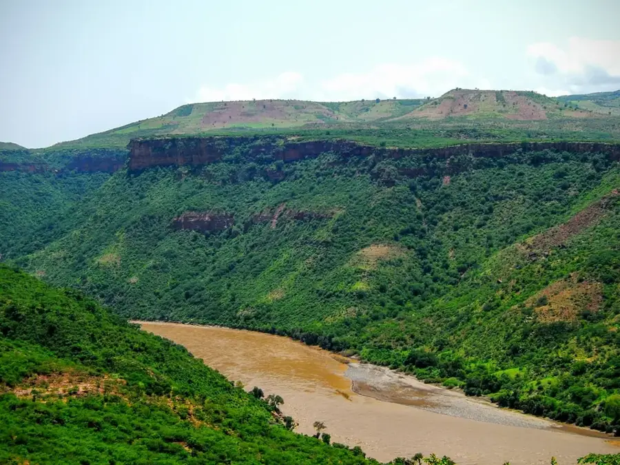
Areas near the dam offer expansive views of the Blue Nile (check local access rules).
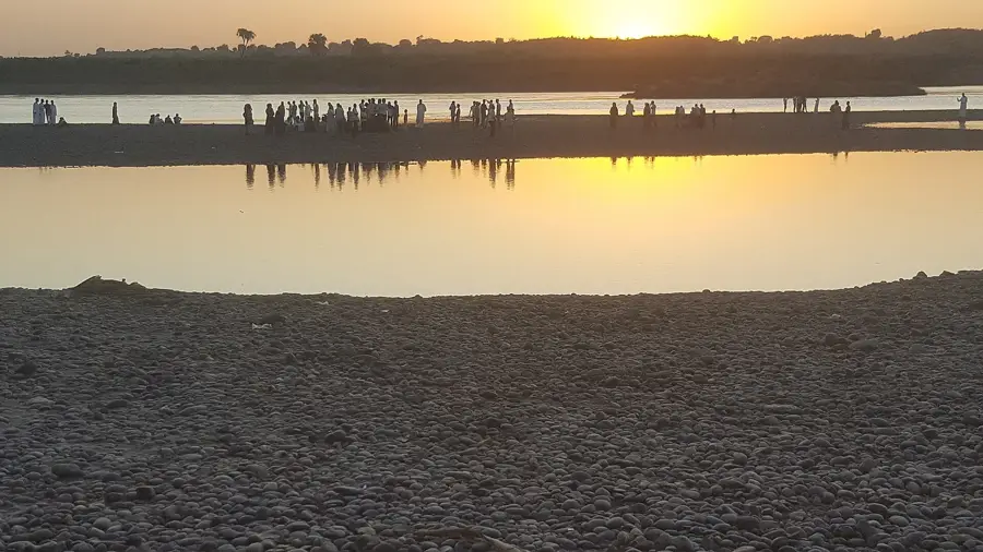
Find a quiet spot along the riverbank to watch the traditional boats.
Water temperature…
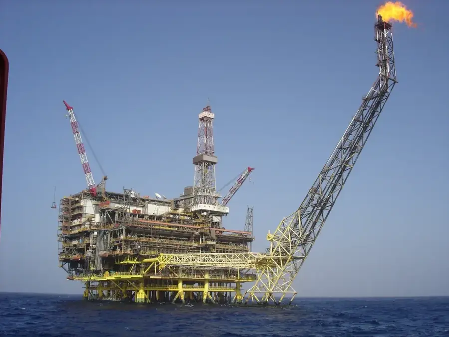
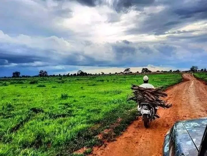
Ar-Rusairis is a strategically significant town in the Blue Nile state of Sudan, situated on the eastern bank of the Blue Nile River. The town is globally renowned for the Roseires Dam, constructed in the 1960s, which houses one of the country's most vital hydroelectric power stations. It plays a central role in Sudan's national grid and irrigated agriculture, as the dam regulates water flow for massive downstream farming schemes. Geographically, the area is defined by the river's flow and the nearby undulating hills, providing a distinct microclimate. The population is ethnically diverse, with many residents engaged in fishing, trade, and support services for the hydroelectric complex. Historically, Ar-Rusairis served as a key outpost near the Ethiopian border and a hub for cross-border trade. Recent infrastructure projects, including the heightening of the dam, have significantly impacted the local economy and urban expansion, making it a focal point of Sudanese engineering and development.
- Location: Sudan
- Top sights: Er Roseires · Al Roseires District
- Nearby: Bau (59 km)
- Population: ~58.712 (2024)
Best time to visit & climate
The most pleasant time to visit is Jan, Nov, Dec.
| Jan | Feb | Mar | Apr | May | Jun | Jul | Aug | Sep | Oct | Nov | Dec | |
|---|---|---|---|---|---|---|---|---|---|---|---|---|
| Avg °C | 27 | 29 | 31 | 33 | 32 | 30 | 27 | 26 | 27 | 29 | 29 | 27 |
| Rain mm | 0 | 0 | 1 | 5 | 49 | 68 | 122 | 162 | 104 | 79 | 4 | 1 |
Geography
Facts
- Site of the Roseires Dam, a cornerstone of Sudan's water management.
- Major hub for the generation of national hydroelectric power.
- Located directly across the river from the city of Ad-Damazin.
- The reservoir covers an area of more than 290 square kilometers.
- Serves as a strategic point for trade with neighboring Ethiopia.
- Fishery in the Roseires reservoir is a vital local economic activity.
Explore nearby
Notable places around
Route planner — Car & Motorhome
Where do you start? We build the route here, with stops and country notes along the way.
© OpenStreetMap contributors · OpenRouteService
Sights in the town Ar-Rusairis (2)
Frequently asked questions
Why visit Ar-Rusairis?
What is the climate like?
What can you do?
When is the best time to travel?
How to get there?
Ar-Rusairis: where is it located?
Ar-Rusairis: what is there to see?
Ar-Rusairis: when is the best time to visit?
Ar-Rusairis: why is it worth visiting?

Nearby cities

More places